326 Cedar Mountain Rd Thomaston, CT 06787
Estimated Value: $316,000 - $422,000
3
Beds
3
Baths
1,461
Sq Ft
$257/Sq Ft
Est. Value
About This Home
This home is located at 326 Cedar Mountain Rd, Thomaston, CT 06787 and is currently estimated at $375,060, approximately $256 per square foot. 326 Cedar Mountain Rd is a home located in Litchfield County with nearby schools including Black Rock School, Thomaston Center School, and Thomaston High School.
Ownership History
Date
Name
Owned For
Owner Type
Purchase Details
Closed on
Dec 20, 1996
Sold by
Larosa Marion
Bought by
Mckearney Scott and Smith Amy
Current Estimated Value
Home Financials for this Owner
Home Financials are based on the most recent Mortgage that was taken out on this home.
Original Mortgage
$116,450
Interest Rate
7.62%
Mortgage Type
Unknown
Create a Home Valuation Report for This Property
The Home Valuation Report is an in-depth analysis detailing your home's value as well as a comparison with similar homes in the area
Home Values in the Area
Average Home Value in this Area
Purchase History
| Date | Buyer | Sale Price | Title Company |
|---|---|---|---|
| Mckearney Scott | $145,600 | -- |
Source: Public Records
Mortgage History
| Date | Status | Borrower | Loan Amount |
|---|---|---|---|
| Closed | Mckearney Scott | $115,000 | |
| Closed | Mckearney Scott | $116,450 | |
| Previous Owner | Mckearney Scott | $33,000 | |
| Previous Owner | Mckearney Scott | $90,000 |
Source: Public Records
Tax History Compared to Growth
Tax History
| Year | Tax Paid | Tax Assessment Tax Assessment Total Assessment is a certain percentage of the fair market value that is determined by local assessors to be the total taxable value of land and additions on the property. | Land | Improvement |
|---|---|---|---|---|
| 2025 | $5,778 | $161,350 | $66,290 | $95,060 |
| 2024 | $5,544 | $161,350 | $66,290 | $95,060 |
| 2023 | $5,426 | $161,350 | $66,290 | $95,060 |
| 2022 | $5,181 | $161,350 | $66,290 | $95,060 |
| 2021 | $5,311 | $147,000 | $60,270 | $86,730 |
| 2020 | $5,311 | $147,000 | $60,270 | $86,730 |
| 2019 | $5,370 | $147,000 | $60,270 | $86,730 |
| 2018 | $5,261 | $147,000 | $60,270 | $86,730 |
| 2017 | $5,152 | $147,000 | $60,270 | $86,730 |
| 2016 | $5,025 | $147,490 | $60,340 | $87,150 |
| 2015 | $4,960 | $147,490 | $60,340 | $87,150 |
| 2014 | $4,960 | $147,490 | $60,340 | $87,150 |
Source: Public Records
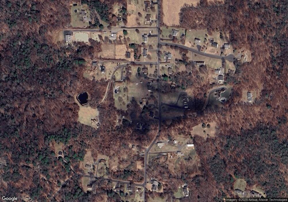
Map
Nearby Homes
- 150 Jackson St
- 143 Pine Hill Rd Unit 15F
- 143 Pine Hill Rd Unit 5C
- 24 W Lakeview Rd
- 349 Lake Plymouth Blvd
- 44 Lake Plymouth Blvd
- 2 Branch Rd Unit 5A
- 265 Lake Plymouth Blvd
- 56 Hillside Ave
- 211 Pine Hill Blvd Unit 211
- 49 Center St
- 713 Pine Hill Blvd
- 214 Pine Hill Blvd Unit 214
- 42 Litchfield St
- 22 Park St
- 785 Main St
- 7 South St
- 461 E Main St
- 684 Main St
- 104 Judson St
- 316 Cedar Mountain Rd
- 334 Cedar Mountain Rd
- 296 Cedar Mountain Rd
- 348 Cedar Mountain Rd
- 274 Cedar Mountain Rd
- 325 Cedar Mountain Rd
- 315 Cedar Mountain Rd
- 271 Cedar Mountain Rd
- 234 Cedar Mountain Rd
- 278 Cedar Mountain Rd
- 300 Cedar Mountain Rd
- 245 Cedar Mountain Rd
- 362 Cedar Mountain Rd
- 214 Cedar Mountain Rd
- 357 Cedar Mountain Rd
- 357 Cedar Mountain Rd
- 32 Patricia Ln
- 211 W Hill Rd
- 210 Cedar Mountain Rd
- 323 Cedar Mountain Rd