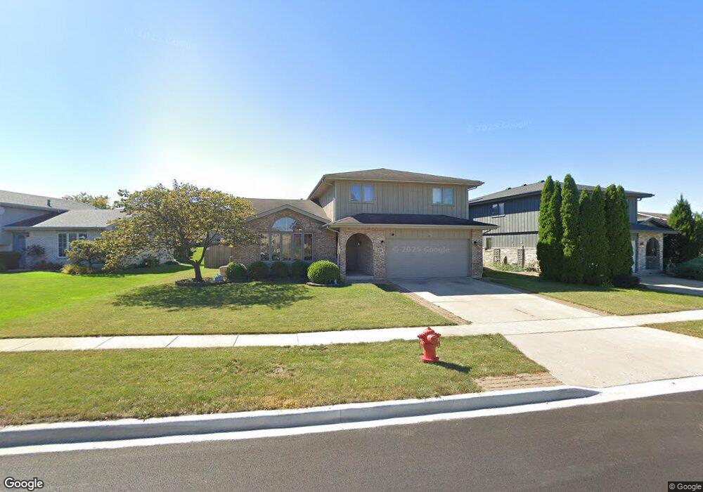
326 Georgetown Ave Unit 1 Romeoville, IL 60446
Estimated Value: $349,422 - $458,000
--
Bed
1
Bath
2,320
Sq Ft
$172/Sq Ft
Est. Value
About This Home
This home is located at 326 Georgetown Ave Unit 1, Romeoville, IL 60446 and is currently estimated at $400,106, approximately $172 per square foot. 326 Georgetown Ave Unit 1 is a home located in Will County with nearby schools including Robert C. Hill Elementary School, A. Vito Martinez Middle School, and Romeoville High School.
Ownership History
Date
Name
Owned For
Owner Type
Purchase Details
Closed on
Oct 20, 2001
Sold by
Standard Bank & Trust Company
Bought by
Palcis Mitchell and Palcis Susan
Current Estimated Value
Home Financials for this Owner
Home Financials are based on the most recent Mortgage that was taken out on this home.
Original Mortgage
$199,800
Interest Rate
7.26%
Create a Home Valuation Report for This Property
The Home Valuation Report is an in-depth analysis detailing your home's value as well as a comparison with similar homes in the area
Home Values in the Area
Average Home Value in this Area
Purchase History
| Date | Buyer | Sale Price | Title Company |
|---|---|---|---|
| Palcis Mitchell | $190,000 | Chicago Title Insurance Co |
Source: Public Records
Mortgage History
| Date | Status | Borrower | Loan Amount |
|---|---|---|---|
| Previous Owner | Palcis Mitchell | $199,800 |
Source: Public Records
Tax History Compared to Growth
Tax History
| Year | Tax Paid | Tax Assessment Tax Assessment Total Assessment is a certain percentage of the fair market value that is determined by local assessors to be the total taxable value of land and additions on the property. | Land | Improvement |
|---|---|---|---|---|
| 2024 | $9,776 | $113,000 | $25,807 | $87,193 |
| 2023 | $9,776 | $101,445 | $23,168 | $78,277 |
| 2022 | $8,296 | $89,179 | $20,367 | $68,812 |
| 2021 | $7,910 | $83,807 | $19,140 | $64,667 |
| 2020 | $7,692 | $81,052 | $18,511 | $62,541 |
| 2019 | $7,363 | $76,827 | $17,546 | $59,281 |
| 2018 | $6,728 | $69,734 | $15,926 | $53,808 |
| 2017 | $6,325 | $65,830 | $15,034 | $50,796 |
| 2016 | $5,972 | $61,696 | $14,090 | $47,606 |
| 2015 | $4,953 | $56,444 | $12,890 | $43,554 |
| 2014 | $4,953 | $49,752 | $12,047 | $37,705 |
| 2013 | $4,953 | $51,825 | $12,549 | $39,276 |
Source: Public Records
Map
Nearby Homes
- 346 Wild Rose Ln
- 255 W Romeo Rd
- 939 E Savannah Dr
- 923 E Savannah Dr Unit 2
- 1282 W Normantown Rd
- Lot 5 Weber Rd
- 1033 Key Largo Dr Unit M702
- 312 Fremont Ave
- 1086 Princeton Dr
- 322 Kent Ave
- Lot 2 Governors Hwy
- 0 N Weber Rd Unit MRD12364369
- 440 N Kelly Ct
- 487 N Anna Ln
- 497 N Frieh Dr
- 408 Haller Ave
- 343 Hale Ave
- 915 Brassfield Ave
- 947 Brassfield Ave
- 611 Flambeau Ct
- 330 Georgetown Ave
- 322 Georgetown Ave
- 302 Jamestown Ct
- 314 Georgetown Ave
- 295 Heritage Pkwy
- 296 Jamestown Ct
- 291 Heritage Pkwy
- 327 Georgetown Ave
- 323 Georgetown Ave
- 331 Georgetown Ave
- 297 Jamestown Ct
- 319 Georgetown Ave
- 287 Heritage Pkwy
- 304 Georgetown Ave
- 329 Heritage Pkwy
- 315 Georgetown Ave
- 290 Jamestown Ct
- 929 Princeton Ave
- 283 Heritage Pkwy
- 923 Princeton Ave