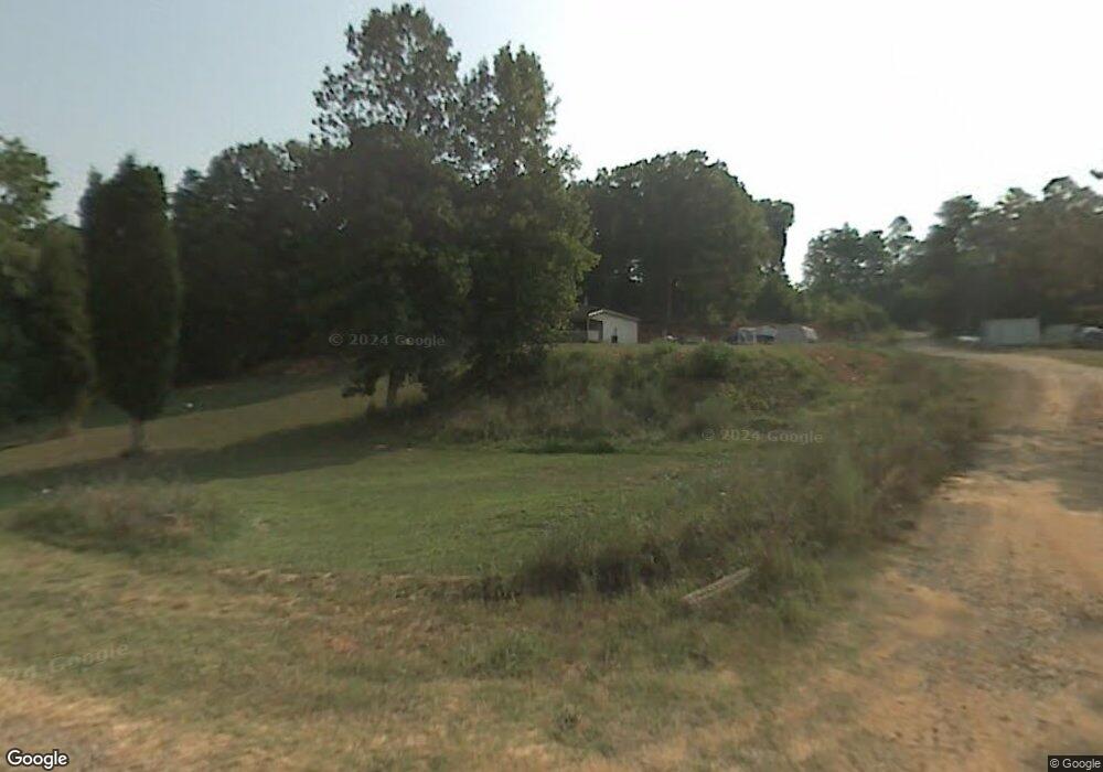
326 Powers Rd Thomasville, NC 27360
Estimated Value: $272,000 - $526,000
3
Beds
2
Baths
2,849
Sq Ft
$133/Sq Ft
Est. Value
About This Home
This home is located at 326 Powers Rd, Thomasville, NC 27360 and is currently estimated at $378,081, approximately $132 per square foot. 326 Powers Rd is a home located in Davidson County with nearby schools including Brier Creek Elementary School, E. Lawson Brown Middle School, and East Davidson High School.
Ownership History
Date
Name
Owned For
Owner Type
Purchase Details
Closed on
Sep 16, 2020
Sold by
Barelle Dorothy and Aj And Maximillian Vuncanon Tr
Bought by
Vuncanon Andrew Maximillian
Current Estimated Value
Purchase Details
Closed on
Apr 7, 2004
Sold by
Vuncanon Andrew
Bought by
Dunn Carl A
Purchase Details
Closed on
Jul 18, 2003
Sold by
Walker Cheryl Woolard
Bought by
Conseco Finance Servicing Corp
Purchase Details
Closed on
May 9, 2000
Sold by
Hartsell Darrell J
Bought by
Walker Cheryl Woolard
Purchase Details
Closed on
Feb 1, 1991
Create a Home Valuation Report for This Property
The Home Valuation Report is an in-depth analysis detailing your home's value as well as a comparison with similar homes in the area
Home Values in the Area
Average Home Value in this Area
Purchase History
| Date | Buyer | Sale Price | Title Company |
|---|---|---|---|
| Vuncanon Andrew Maximillian | -- | None Available | |
| Dunn Carl A | -- | -- | |
| Vuncanon Andrew | $40,000 | -- | |
| Conseco Finance Servicing Corp | $72,000 | -- | |
| Walker Cheryl Woolard | $85,000 | -- | |
| -- | $62,000 | -- |
Source: Public Records
Tax History Compared to Growth
Tax History
| Year | Tax Paid | Tax Assessment Tax Assessment Total Assessment is a certain percentage of the fair market value that is determined by local assessors to be the total taxable value of land and additions on the property. | Land | Improvement |
|---|---|---|---|---|
| 2025 | $906 | $143,720 | $0 | $0 |
| 2024 | $906 | $143,720 | $0 | $0 |
| 2023 | $920 | $143,720 | $0 | $0 |
| 2022 | $906 | $143,720 | $0 | $0 |
| 2021 | $906 | $143,720 | $0 | $0 |
| 2020 | $778 | $123,360 | $0 | $0 |
| 2019 | $790 | $123,360 | $0 | $0 |
| 2018 | $790 | $123,360 | $0 | $0 |
| 2017 | $790 | $123,360 | $0 | $0 |
| 2016 | $765 | $123,360 | $0 | $0 |
| 2015 | $765 | $123,360 | $0 | $0 |
| 2014 | $827 | $133,310 | $0 | $0 |
Source: Public Records
Map
Nearby Homes
- 3339 Kennedy Rd
- 104 Max Moore Rd
- 612 Underwood Dr
- 344 Blythe Dr
- 731 Pauls Airport Rd
- 471 W Hunting Ridge Dr
- 497 W Hunting Ridge Dr
- 172 Cody Dr
- 1973 Old Mountain Rd
- 479 Oscar Hughes Rd
- 1107 Harvest Dr
- Lot 13/14 Hickory Trail
- 3759 Fuller Mill Rd N
- 283 Reid Rd
- 2501 Denton Rd
- 2286 Lynn Cir E
- 2690 Old Mountain Rd
- 6584 Black Oak Ct
- 604 Jack Pine St
- 215 Fairfield Ct
- 286 Powers Rd
- 241 Powers Rd
- 182 Powers Rd
- 215 Powers Rd
- 273 Woods Hollow Ln
- 313 Underwood Dr
- 377 Underwood Dr
- 213 Woods Hollow Ln
- 3433 Kennedy Rd
- 177 Underwood Dr
- 352 Underwood Dr
- 3387 Kennedy Rd
- 168 Underwood Dr
- 3341 Kennedy Rd
- 3815 Kennedy Rd
- 194 Moore Ln
- 192 Moore Ln
- 428 Underwood Dr
- 3841 Kennedy Rd
- 170 Moore Ln
