326 Southeast Rd Block Island, RI 02807
Estimated Value: $2,331,000 - $2,751,966
2
Beds
3
Baths
1,235
Sq Ft
$2,053/Sq Ft
Est. Value
About This Home
This home is located at 326 Southeast Rd, Block Island, RI 02807 and is currently estimated at $2,535,322, approximately $2,052 per square foot. 326 Southeast Rd is a home with nearby schools including Block Island School.
Ownership History
Date
Name
Owned For
Owner Type
Purchase Details
Closed on
Jun 4, 2012
Sold by
Ross Tr Kenneth W
Bought by
Ross Kenneth W
Current Estimated Value
Purchase Details
Closed on
Dec 1, 1981
Bought by
Ross-Kenneth William
Create a Home Valuation Report for This Property
The Home Valuation Report is an in-depth analysis detailing your home's value as well as a comparison with similar homes in the area
Home Values in the Area
Average Home Value in this Area
Purchase History
| Date | Buyer | Sale Price | Title Company |
|---|---|---|---|
| Ross Kenneth W | -- | -- | |
| Ross-Kenneth William | -- | -- |
Source: Public Records
Mortgage History
| Date | Status | Borrower | Loan Amount |
|---|---|---|---|
| Open | Ross-Kenneth William | $200,000 |
Source: Public Records
Tax History Compared to Growth
Tax History
| Year | Tax Paid | Tax Assessment Tax Assessment Total Assessment is a certain percentage of the fair market value that is determined by local assessors to be the total taxable value of land and additions on the property. | Land | Improvement |
|---|---|---|---|---|
| 2024 | $13,431 | $2,433,200 | $1,834,600 | $598,600 |
| 2023 | $14,648 | $2,433,200 | $1,834,600 | $598,600 |
| 2022 | $13,065 | $1,845,360 | $1,596,880 | $248,480 |
| 2021 | $12,364 | $1,845,360 | $1,596,880 | $248,480 |
| 2020 | $11,736 | $1,845,360 | $1,596,880 | $248,480 |
| 2019 | $11,367 | $1,845,360 | $1,596,880 | $248,480 |
| 2018 | $11,097 | $1,865,040 | $1,596,880 | $268,160 |
| 2017 | $10,926 | $1,864,480 | $1,596,880 | $267,600 |
| 2016 | $10,665 | $1,864,480 | $1,596,880 | $267,600 |
| 2015 | $13,053 | $2,369,000 | $1,996,100 | $372,900 |
| 2014 | $12,650 | $2,368,900 | $1,996,100 | $372,800 |
| 2013 | $11,369 | $2,182,200 | $1,996,100 | $186,100 |
Source: Public Records
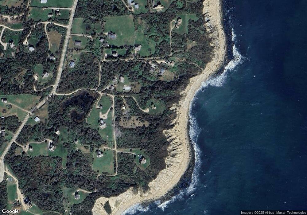
Map
Nearby Homes
- 0 Spring St
- 0 Southeast Rd Unit 1381406
- 0 Pilot Hill Rd
- 194 Pilot Hill Rd
- 804 Mohegan Trail
- 1289 High St
- 0 Mohegan Trail
- 1661 Sand Pond Rd
- 256 High St
- 1035 Mohegan Trail
- 1448 Mohegan Trail
- 481 Old Town Rd
- 1087 Lakeside Dr
- 0 Snake Hole Rd
- 1501 Beacon Hill Rd
- 1328 Cooneymus Rd
- 1743 Corn Neck Rd
- 0 Coast Guard Rd
- 1720 Corn Neck Rd
- 1713 Corn Neck Rd
- 1052 Spring St
- 1006 Spring St
- 992 W Southeast Rd
- 324 Cat Rock Rd
- 324 Cat Rock Cove Rd
- 977 Southeast Rd
- 977 W Spring St
- 324 Southeast Rd
- 1645 Off Rd SE
- 1050 W Southeast Rd
- 323 Southeast Rd
- 325 Southeast Rd
- 322 Southeast Rd
- 1690 Southeast Rd
- 1225 Southeast Rd
- 1641 Spring St
- 1680 Spring St
- 1635 Spring St
- 1635 - 331 Whaleswamp Rd
- 1064 Southeast Rd