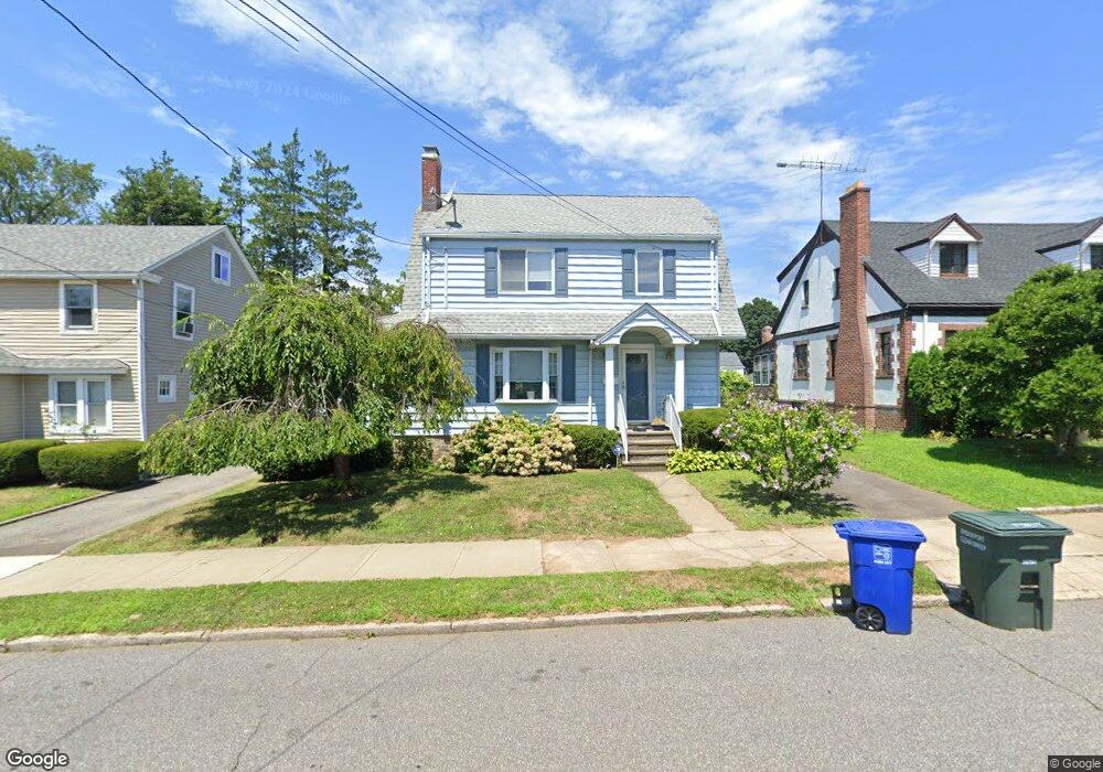
326 Taft Ave Bridgeport, CT 06604
Brooklawn-Saint Vincent NeighborhoodEstimated Value: $459,000 - $462,250
3
Beds
2
Baths
1,864
Sq Ft
$247/Sq Ft
Est. Value
About This Home
This home is located at 326 Taft Ave, Bridgeport, CT 06604 and is currently estimated at $460,813, approximately $247 per square foot. 326 Taft Ave is a home located in Fairfield County with nearby schools including Madison School, Central High School, and Catholic Academy of Bridgeport-St. Raphael Academy.
Ownership History
Date
Name
Owned For
Owner Type
Purchase Details
Closed on
Sep 19, 2007
Sold by
Bailey Diane
Bought by
Helling Roberta
Current Estimated Value
Home Financials for this Owner
Home Financials are based on the most recent Mortgage that was taken out on this home.
Original Mortgage
$145,000
Interest Rate
6.63%
Purchase Details
Closed on
Mar 1, 1993
Sold by
Bailey Louis
Bought by
Bailey Diane and Faull Carol
Create a Home Valuation Report for This Property
The Home Valuation Report is an in-depth analysis detailing your home's value as well as a comparison with similar homes in the area
Home Values in the Area
Average Home Value in this Area
Purchase History
| Date | Buyer | Sale Price | Title Company |
|---|---|---|---|
| Helling Roberta | $117,500 | -- | |
| Helling Roberta | $117,500 | -- | |
| Helling Roberta | $117,500 | -- | |
| Bailey Diane | $109,000 | -- | |
| Bailey Diane | $109,000 | -- |
Source: Public Records
Mortgage History
| Date | Status | Borrower | Loan Amount |
|---|---|---|---|
| Open | Bailey Diane | $144,100 | |
| Closed | Bailey Diane | $145,000 |
Source: Public Records
Tax History
| Year | Tax Paid | Tax Assessment Tax Assessment Total Assessment is a certain percentage of the fair market value that is determined by local assessors to be the total taxable value of land and additions on the property. | Land | Improvement |
|---|---|---|---|---|
| 2025 | $6,878 | $158,300 | $77,910 | $80,390 |
| 2024 | $6,878 | $158,300 | $77,910 | $80,390 |
| 2023 | $6,878 | $158,300 | $77,910 | $80,390 |
| 2022 | $6,878 | $158,300 | $77,910 | $80,390 |
| 2021 | $6,878 | $158,300 | $77,910 | $80,390 |
| 2020 | $6,520 | $120,770 | $47,210 | $73,560 |
| 2019 | $6,520 | $120,770 | $47,210 | $73,560 |
| 2018 | $6,566 | $120,770 | $47,210 | $73,560 |
| 2017 | $6,566 | $120,770 | $47,210 | $73,560 |
| 2016 | $6,566 | $120,770 | $47,210 | $73,560 |
| 2015 | $6,277 | $148,740 | $52,360 | $96,380 |
| 2014 | $6,277 | $148,740 | $52,360 | $96,380 |
Source: Public Records
Map
Nearby Homes
- 2078 Park Ave Unit 2082
- 493 W Taft Ave
- 523 W Jackson Ave
- 100 Lorraine St
- 23-25 Morgan Ave
- 1285 Norman St
- 660 W Jackson Ave
- 1515 Capitol Ave Unit 1517
- 1522 North Ave
- 1554 Capitol Ave
- 61 Astoria Ave
- 85-89 Alexander Dr
- 1406 Wood Ave
- 1440 Wood Ave
- 125-127 Alexander Dr
- 2625 Park Ave Unit 9R
- 2625 Park Ave Unit 4F
- 35 Querida St
- 130 Holroyd St
- 25 Myron Ave
Your Personal Tour Guide
Ask me questions while you tour the home.