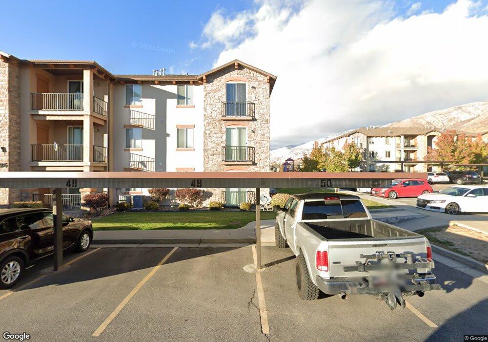
326 W 605 N Unit 303D Centerville, UT 84014
Estimated Value: $355,000 - $378,000
3
Beds
2
Baths
1,389
Sq Ft
$266/Sq Ft
Est. Value
About This Home
This home is located at 326 W 605 N Unit 303D, Centerville, UT 84014 and is currently estimated at $369,801, approximately $266 per square foot. 326 W 605 N Unit 303D is a home located in Davis County with nearby schools including Centerville Elementary, Centerville Jr High, and Viewmont High School.
Ownership History
Date
Name
Owned For
Owner Type
Purchase Details
Closed on
Dec 12, 2024
Sold by
Bradford Peter
Bought by
Bradford Susan and Bradford Peter
Current Estimated Value
Purchase Details
Closed on
Aug 29, 2024
Sold by
Sharon L Proctor Family Trust and Runhaar Christine P
Bought by
Bradford Peter
Purchase Details
Closed on
Apr 14, 2009
Sold by
Cityview Pincae Village 227 Lp
Bought by
Proctor Sharon L and The Sharon L Proctor Family Trust
Create a Home Valuation Report for This Property
The Home Valuation Report is an in-depth analysis detailing your home's value as well as a comparison with similar homes in the area
Home Values in the Area
Average Home Value in this Area
Purchase History
| Date | Buyer | Sale Price | Title Company |
|---|---|---|---|
| Bradford Susan | -- | None Listed On Document | |
| Bradford Susan | -- | None Listed On Document | |
| Bradford Peter | -- | Us Title | |
| Proctor Sharon L | -- | Mountain View Title |
Source: Public Records
Tax History Compared to Growth
Tax History
| Year | Tax Paid | Tax Assessment Tax Assessment Total Assessment is a certain percentage of the fair market value that is determined by local assessors to be the total taxable value of land and additions on the property. | Land | Improvement |
|---|---|---|---|---|
| 2025 | $2,076 | $198,550 | $0 | $198,550 |
| 2024 | $1,939 | $188,650 | $0 | $188,650 |
| 2023 | $179 | $190,850 | $0 | $190,850 |
| 2022 | $308 | $348,000 | $60,000 | $288,000 |
| 2021 | $222 | $251,000 | $60,000 | $191,000 |
| 2020 | $153 | $214,000 | $41,600 | $172,400 |
| 2019 | $56 | $203,000 | $40,000 | $163,000 |
| 2018 | $33 | $184,000 | $34,000 | $150,000 |
| 2016 | $1,014 | $82,005 | $13,750 | $68,255 |
| 2015 | $1,041 | $79,365 | $13,750 | $65,615 |
| 2014 | $1,158 | $90,398 | $14,685 | $75,713 |
| 2013 | -- | $85,274 | $14,575 | $70,699 |
Source: Public Records
Map
Nearby Homes
- 493 W 620 N Unit 122
- 171 W 650 N
- 751 Pheasantbrook Dr
- 763 Pheasantbrook Dr
- 781 Pheasantbrook Dr
- 495 Creek View Rd
- 833 N Lakeside Ln
- 775 Pheasantbrook Cir
- 67 W Pheasantbrook Dr
- 261 Park Ln
- 147 W 925 N
- 271 Brookfield Ln
- 22 Creekside Ln
- 232 N 100 W
- 147 N 360 W Unit 21
- 1421 N Main St
- 1154 N 700 W
- 88 W 50 S Unit F9
- 1238 N 450 W
- 117 Cara Vella Ln
- 326 W 605 N Unit 303L
- 326 W 605 N Unit 303K
- 326 W 605 N Unit 303J
- 326 W 605 N
- 326 W 605 N Unit 303H
- 326 W 605 N
- 326 W 605 N Unit 303B
- 326 W 605 N Unit 303A
- 326 W 605 N Unit 303F
- 326 W 605 N
- 326 W 605 N Unit D
- 326 W 605 N Unit STE H
- 326 W 605 N Unit G
- 326 W 605 N Unit L
- 326 W 605 N Unit 303 C
- 326 W 605 N Unit I
- 326 W 605 N Unit H
- 327 W 650 N
- 327 W 650 N Unit K
- 327 W 650 N Unit J