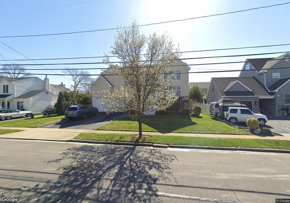
326 Wynsum Ave Merrick, NY 11566
Estimated Value: $1,296,000 - $1,345,642
--
Bed
3
Baths
3,415
Sq Ft
$387/Sq Ft
Est. Value
About This Home
This home is located at 326 Wynsum Ave, Merrick, NY 11566 and is currently estimated at $1,320,821, approximately $386 per square foot. 326 Wynsum Ave is a home located in Nassau County with nearby schools including Burcham Elementary School, Merrick Avenue Middle School, and John F. Kennedy High School.
Ownership History
Date
Name
Owned For
Owner Type
Purchase Details
Closed on
Aug 4, 2006
Sold by
Wynsum Ave Llc
Bought by
Capelonga Raymond
Current Estimated Value
Purchase Details
Closed on
Sep 18, 2002
Sold by
Leivent Rosalind
Bought by
Economides Yiannis
Create a Home Valuation Report for This Property
The Home Valuation Report is an in-depth analysis detailing your home's value as well as a comparison with similar homes in the area
Home Values in the Area
Average Home Value in this Area
Purchase History
| Date | Buyer | Sale Price | Title Company |
|---|---|---|---|
| Capelonga Raymond | $925,000 | -- | |
| Economides Yiannis | $320,000 | -- |
Source: Public Records
Tax History Compared to Growth
Tax History
| Year | Tax Paid | Tax Assessment Tax Assessment Total Assessment is a certain percentage of the fair market value that is determined by local assessors to be the total taxable value of land and additions on the property. | Land | Improvement |
|---|---|---|---|---|
| 2025 | $26,560 | $911 | $320 | $591 |
| 2024 | $6,144 | $874 | $307 | $567 |
| 2023 | $24,509 | $911 | $320 | $591 |
| 2022 | $24,509 | $911 | $320 | $591 |
| 2021 | $33,628 | $876 | $308 | $568 |
| 2020 | $24,039 | $1,275 | $634 | $641 |
| 2019 | $22,769 | $1,275 | $594 | $681 |
| 2018 | $21,295 | $1,360 | $0 | $0 |
| 2017 | $15,201 | $1,445 | $615 | $830 |
| 2016 | $21,385 | $1,490 | $634 | $856 |
| 2015 | $5,913 | $1,490 | $634 | $856 |
| 2014 | $5,913 | $1,490 | $634 | $856 |
| 2013 | $5,595 | $1,490 | $634 | $856 |
Source: Public Records
Map
Nearby Homes
- 110 Hampton Way
- 2770 Lincoln Blvd
- 217 Bayview Ave
- 1360-1370 Merrick Rd
- 2810 Wynsum Ave
- 163 Wynsum Ave
- 2072 Brighton Way
- 72 Lake End Rd
- 23 Bay St
- 1945 Byron Rd
- 119 Ocean Ave
- 2819 Harbor Rd
- 2956 Judith Dr
- 2729 Shore Dr
- 43 Wynsum Ave
- 14 Bell Ct
- 2884 Bay Dr
- 2492 Lefferts Place
- 2476 Florin Ct
- 2863 Harbor Rd
- 332 Wynsum Ave
- 302 Wynsum Ave
- 2687 Kenny Ave
- 139 Kenny Ave
- 2683 Kenny Ave
- 2695 Kenny Ave
- 338 Wynsum Ave
- 2675 Kenny Ave
- 327 Wynsum Ave
- 2666 Wynsum Ave
- 2346 Wynsum Ave
- 2356 Wynsum Ave
- 333 Wynsum Ave
- 2683 Wynsum Ave
- 2129 Avenue C
- 315 Wynsum Ave
- 2671 Kenny Ave
- 339 Wynsum Ave
- 2667 Wynsum Ave
- 2662 Wynsum Ave