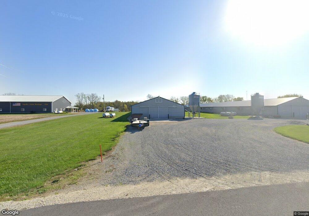
3260 Erastus Durbin Rd Fort Recovery, OH 45846
Estimated Value: $238,000 - $375,078
3
Beds
2
Baths
1,436
Sq Ft
$211/Sq Ft
Est. Value
About This Home
This home is located at 3260 Erastus Durbin Rd, Fort Recovery, OH 45846 and is currently estimated at $303,270, approximately $211 per square foot. 3260 Erastus Durbin Rd is a home with nearby schools including Fort Recovery Elementary School, Fort Recovery Middle School, and Fort Recovery High School.
Ownership History
Date
Name
Owned For
Owner Type
Purchase Details
Closed on
Mar 31, 2020
Sold by
Knapke Jacob D and Knapke Samantha J
Bought by
Knapke Jacob D and Knapke Samantha J
Current Estimated Value
Purchase Details
Closed on
Oct 1, 2018
Sold by
Knapke Donald S and Knapke Carol A
Bought by
Knapke Jacob D and Knapke Samantha J
Home Financials for this Owner
Home Financials are based on the most recent Mortgage that was taken out on this home.
Original Mortgage
$275,000
Interest Rate
4.5%
Mortgage Type
Future Advance Clause Open End Mortgage
Create a Home Valuation Report for This Property
The Home Valuation Report is an in-depth analysis detailing your home's value as well as a comparison with similar homes in the area
Home Values in the Area
Average Home Value in this Area
Purchase History
| Date | Buyer | Sale Price | Title Company |
|---|---|---|---|
| Knapke Jacob D | -- | None Available | |
| Knapke Jacob D | $425,000 | None Available |
Source: Public Records
Mortgage History
| Date | Status | Borrower | Loan Amount |
|---|---|---|---|
| Closed | Knapke Jacob D | $275,000 |
Source: Public Records
Tax History Compared to Growth
Tax History
| Year | Tax Paid | Tax Assessment Tax Assessment Total Assessment is a certain percentage of the fair market value that is determined by local assessors to be the total taxable value of land and additions on the property. | Land | Improvement |
|---|---|---|---|---|
| 2024 | $3,002 | $106,680 | $20,510 | $86,170 |
| 2023 | $3,002 | $106,680 | $20,510 | $86,170 |
| 2022 | $2,666 | $84,810 | $15,050 | $69,760 |
| 2021 | $2,674 | $84,810 | $15,050 | $69,760 |
| 2020 | $3,483 | $84,810 | $15,050 | $69,760 |
| 2019 | $2,313 | $81,180 | $18,210 | $62,970 |
| 2018 | $0 | $0 | $0 | $0 |
Source: Public Records
Map
Nearby Homes
- 1291 State Route 219
- 0 Ohio 118
- 820 Mary Ln
- 912 Emerald Ave
- 401 N Cedar St
- 821 Butler St
- 304 S Wayne St
- 207 W Butler St
- 420 S 1st St
- 201 W Wiggs St
- 4543 Lange Rd
- 314 E North St
- 501 N 2nd St
- 426 E Walnut St
- 402 E Elizabeth St
- 721 Lilac Dr
- 2332 State Route 29
- 6699 Gause Rd
- 0 Anderson Lots 10 11 & 12 Ln Unit 1037885
- 0 Springer 1-6 & Roadway 14-16 Unit 1037883