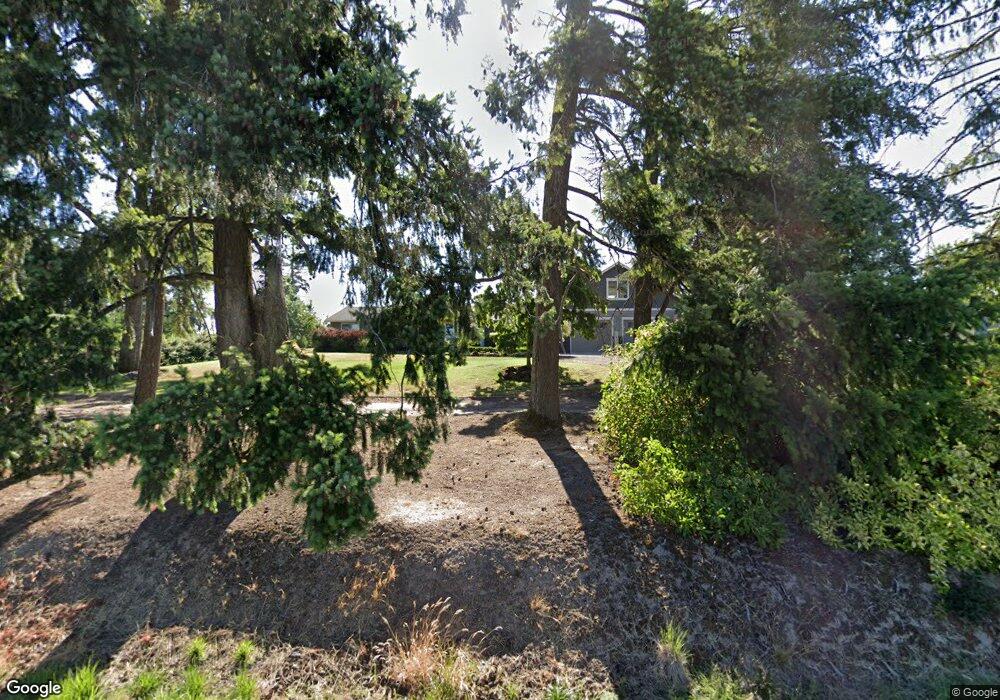
32609 NW Mountaindale Rd North Plains, OR 97133
Estimated Value: $551,000 - $827,803
3
Beds
1
Bath
2,482
Sq Ft
$294/Sq Ft
Est. Value
About This Home
This home is located at 32609 NW Mountaindale Rd, North Plains, OR 97133 and is currently estimated at $730,934, approximately $294 per square foot. 32609 NW Mountaindale Rd is a home located in Washington County with nearby schools including North Plains Elementary School, Evergreen Jr High School, and Glencoe High School.
Ownership History
Date
Name
Owned For
Owner Type
Purchase Details
Closed on
Oct 19, 2021
Sold by
Juenemann Nicholas Edward and Juenemann Joan Margaret
Bought by
Juenemann Nicholas E and Juenemann Joan M
Current Estimated Value
Purchase Details
Closed on
Aug 10, 2017
Sold by
Lone Oak Land & Investment Company Llc
Bought by
Juenemann Nicholas Edward and Juenemann Joan Margaret
Purchase Details
Closed on
Mar 6, 2006
Sold by
Lone Oak Land & Investment Co Llc
Bought by
Juenemann Nicholas Edward and Juenemann Joan Margaret
Home Financials for this Owner
Home Financials are based on the most recent Mortgage that was taken out on this home.
Original Mortgage
$150,000
Interest Rate
6.08%
Mortgage Type
Fannie Mae Freddie Mac
Purchase Details
Closed on
Dec 30, 2002
Sold by
Cropp Michael V and Cropp Susan C
Bought by
Mike & Sue Land Management Llc
Create a Home Valuation Report for This Property
The Home Valuation Report is an in-depth analysis detailing your home's value as well as a comparison with similar homes in the area
Home Values in the Area
Average Home Value in this Area
Purchase History
| Date | Buyer | Sale Price | Title Company |
|---|---|---|---|
| Juenemann Nicholas E | -- | None Available | |
| Juenemann Nicholas Edward | -- | None Available | |
| Juenemann Nicholas Edward | $400,000 | Fidelity Natl Title Co Of Or | |
| Mike & Sue Land Management Llc | -- | -- |
Source: Public Records
Mortgage History
| Date | Status | Borrower | Loan Amount |
|---|---|---|---|
| Previous Owner | Juenemann Nicholas Edward | $150,000 |
Source: Public Records
Tax History Compared to Growth
Tax History
| Year | Tax Paid | Tax Assessment Tax Assessment Total Assessment is a certain percentage of the fair market value that is determined by local assessors to be the total taxable value of land and additions on the property. | Land | Improvement |
|---|---|---|---|---|
| 2025 | $4,536 | $359,810 | -- | -- |
| 2024 | $4,408 | $349,370 | -- | -- |
| 2023 | $4,408 | $339,160 | $0 | $0 |
| 2022 | $4,295 | $339,160 | $0 | $0 |
| 2021 | $4,220 | $319,740 | $0 | $0 |
| 2020 | $4,132 | $310,430 | $0 | $0 |
| 2019 | $3,979 | $301,390 | $0 | $0 |
| 2018 | $3,851 | $292,620 | $0 | $0 |
| 2017 | $3,713 | $283,590 | $0 | $0 |
| 2016 | $3,510 | $275,330 | $0 | $0 |
| 2015 | $3,359 | $267,320 | $0 | $0 |
| 2014 | $3,111 | $241,200 | $0 | $0 |
Source: Public Records
Map
Nearby Homes
- 11289 NW 325th Ave
- 11356 NW 321st Ave
- 11364 NW 321st Ave
- 11380 NW 321st Ave
- 31789 NW Blake Terrace
- 11388 NW 321st Ave
- 31741 NW Blake Terrace
- 31725 NW Blake Terrace
- 31757 NW Blake Terrace
- 31724 NW Blake Terrace
- 31811 NW Belgium Ct
- 31721 NW Turel Dr
- 31713 NW Turel Dr
- 31709 NW Turel Dr
- 31700 Turel Dr
- 31697 NW Turel Dr
- 31696 NW Turel Dr
- 31688 NW Turel Dr
- 31684 NW Turel Dr
- 31680 NW Turel Dr Unit H393
- 32557 NW Mountaindale Rd
- 32445 NW North Ave
- 32055 NW North Ave Unit 1962064-15734
- 32055 NW North Ave Unit 2044798-15734
- 32055 NW North Ave Unit 1962062-15734
- 32055 NW North Ave Unit 1962068-15734
- 32055 NW North Ave Unit 1962067-15734
- 32055 NW North Ave Unit 2044799-15734
- 32055 NW North Ave Unit 1962066-15734
- 32055 NW North Ave Unit 1962063-15734
- 32055 NW North Ave Unit 1962069-15734
- 32055 NW North Ave Unit 1962065-15734
- 32055 NW North Ave Unit 1962061-15734
- 11401 NW 325th Ave
- 11400 NW 325th Ave
- 0 NW North Rd
- 11385 NW 325th Ave
- 11440 NW Gordon Rd
- 11440 NW Gordon Rd Unit 2
- 11440 NW Gordon Rd Unit 1
