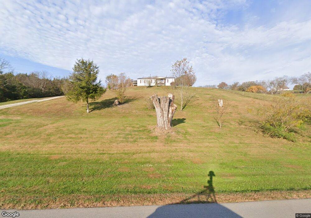
3261 E Fork Rd Owingsville, KY 40360
Estimated Value: $68,000 - $170,000
Studio
--
Bath
958
Sq Ft
$102/Sq Ft
Est. Value
About This Home
This home is located at 3261 E Fork Rd, Owingsville, KY 40360 and is currently estimated at $97,778, approximately $102 per square foot. 3261 E Fork Rd is a home located in Bath County with nearby schools including Crossroads Elementary School, Bath County Middle School, and Bath County High School.
Ownership History
Date
Name
Owned For
Owner Type
Purchase Details
Closed on
Apr 11, 2024
Sold by
Nye Carolyn Jane and Waltemyer Carolyn Jane
Bought by
Waltemyer Carolyn Jane and Waltemyer Daniel George
Current Estimated Value
Purchase Details
Closed on
Dec 8, 2020
Sold by
Nye Philip Arthur and Nye Carolyn Jane
Bought by
Nye Carolyn Jane
Purchase Details
Closed on
Jul 30, 2020
Sold by
Nye Carolyn Jane and Nye Philip Arthur
Bought by
Nye Carolyn Jane and Nye Philip Arthur
Purchase Details
Closed on
May 28, 2020
Sold by
Hornback Jack Landon and Hornback Jennifer Michelle
Bought by
Ginter Kevin Michael and Ginter Hayley Brooke
Create a Home Valuation Report for This Property
The Home Valuation Report is an in-depth analysis detailing your home's value as well as a comparison with similar homes in the area
Purchase History
We collect this data history from publicly available records. To have your information removed, we recommend requesting removal directly through your county’s website.
| Date | Buyer | Sale Price | Title Company |
|---|---|---|---|
| Waltemyer Carolyn Jane | -- | None Listed On Document | |
| Nye Carolyn Jane | -- | None Available | |
| Nye Carolyn Jane | -- | None Available | |
| Ginter Kevin Michael | $34,000 | None Available |
Source: Public Records
Tax History
| Year | Tax Paid | Tax Assessment Tax Assessment Total Assessment is a certain percentage of the fair market value that is determined by local assessors to be the total taxable value of land and additions on the property. | Land | Improvement |
|---|---|---|---|---|
| 2025 | $424 | $34,000 | $0 | $0 |
| 2023 | $420 | $34,000 | $0 | $0 |
| 2022 | $396 | $34,000 | $0 | $0 |
| 2021 | $391 | $34,000 | $0 | $0 |
| 2020 | $308 | $27,000 | $0 | $0 |
| 2019 | $183 | $15,000 | $0 | $0 |
| 2018 | $184 | $15,000 | $0 | $0 |
| 2017 | -- | $15,000 | $0 | $0 |
| 2015 | -- | $15,000 | $0 | $0 |
| 2013 | -- | $15,000 | $5,000 | $10,000 |
Source: Public Records
Map
Nearby Homes
- 0 Rooster Run Rd
- 1225 Rooster Run Rd
- 0 Powers Branch Rd Unit LotWP001 21944400
- 218 Powers Branch Rd
- 2499 Kentucky 36
- 378 Cheyenne Rd
- 5141 Oakley - Pebble Rd
- 74 Raven Dr
- 1543 W Tunnel Hill Rd
- 226 Watershed Rd
- 452 Heaven Ln
- 463 E High St
- 636 E Highway 60
- 611 E High St
- 58 Wells Ave
- 753 E Highway 60
- 0 Wyoming Rd
- 73 Water Plant Rd
- 0 Hickey Rd
- 758 Bethel Rd
- 3332 E Fork Rd
- 3335 E Fork Rd
- 3389 E Fork Rd
- 3384 E Fork Rd
- 3265 E Fork Rd
- 2830 E Fork Rd
- 2823 E Fork Rd
- 3182 E Fork Rd
- 2759 E Fork Rd
- 297 Ceder Road Tract 1 D253 774
- 297 Ceder Rd
- 490 Ceder Rd
- 180 Ceder Rd
- 180 Ceder Rd
- 2779 E Fork Rd
- 2092 E Fork Rd
- 3228 E Fork Rd
- 636 Ceder Rd
- 3456 E Fork Rd
- 2057 E Fork Rd
Your Personal Tour Guide
Ask me questions while you tour the home.