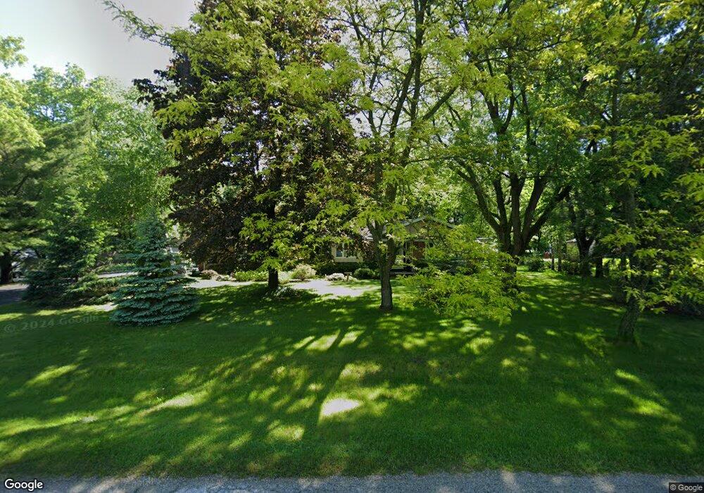
3262 Hawthorne Ln Hartford, WI 53027
Estimated Value: $341,364 - $429,000
--
Bed
--
Bath
--
Sq Ft
0.98
Acres
About This Home
This home is located at 3262 Hawthorne Ln, Hartford, WI 53027 and is currently estimated at $381,341. 3262 Hawthorne Ln is a home located in Washington County with nearby schools including Hartford High School, St. Kilian School, and Peace Lutheran School.
Ownership History
Date
Name
Owned For
Owner Type
Purchase Details
Closed on
Apr 13, 2011
Sold by
Komp Leo M and Komp Mary A
Bought by
Higbee Keith H and Higbee Linda S
Current Estimated Value
Home Financials for this Owner
Home Financials are based on the most recent Mortgage that was taken out on this home.
Original Mortgage
$110,000
Outstanding Balance
$75,784
Interest Rate
4.77%
Mortgage Type
Unknown
Estimated Equity
$305,557
Create a Home Valuation Report for This Property
The Home Valuation Report is an in-depth analysis detailing your home's value as well as a comparison with similar homes in the area
Home Values in the Area
Average Home Value in this Area
Purchase History
| Date | Buyer | Sale Price | Title Company |
|---|---|---|---|
| Higbee Keith H | $165,000 | -- | |
| Hiqbee Keith H | $165,000 | Abstract & Title Company |
Source: Public Records
Mortgage History
| Date | Status | Borrower | Loan Amount |
|---|---|---|---|
| Open | Higbee Keith H | $110,000 |
Source: Public Records
Tax History Compared to Growth
Tax History
| Year | Tax Paid | Tax Assessment Tax Assessment Total Assessment is a certain percentage of the fair market value that is determined by local assessors to be the total taxable value of land and additions on the property. | Land | Improvement |
|---|---|---|---|---|
| 2024 | $2,102 | $243,800 | $59,400 | $184,400 |
| 2023 | $2,166 | $243,800 | $59,400 | $184,400 |
| 2022 | $2,145 | $243,800 | $59,400 | $184,400 |
| 2021 | $2,217 | $206,300 | $54,000 | $152,300 |
| 2020 | $2,327 | $206,300 | $54,000 | $152,300 |
| 2019 | $2,238 | $206,300 | $54,000 | $152,300 |
| 2018 | $2,143 | $180,300 | $54,000 | $126,300 |
| 2017 | $2,157 | $180,300 | $54,000 | $126,300 |
| 2016 | $2,204 | $180,300 | $54,000 | $126,300 |
| 2015 | $2,415 | $180,300 | $54,000 | $126,300 |
| 2014 | $2,415 | $180,300 | $54,000 | $126,300 |
| 2013 | $2,742 | $208,400 | $60,000 | $148,400 |
Source: Public Records
Map
Nearby Homes
- 544 Simon Dr Unit 2
- 1217 Garfield Ln
- 955 E Loos St
- 744 Ridge View Dr
- 604 Hartford Square
- 653 Hartford Square
- 217 Hartford Square Unit 5
- 266 Hartford Square Unit 3
- The Ashland Plan at Harvest Creek
- The Prescott Plan at Harvest Creek
- The Madison Plan at Harvest Creek
- The Hudson Plan at Harvest Creek
- The Laurel Plan at Harvest Creek
- The Rosebud Plan at Harvest Creek
- The Geneva Plan at Harvest Creek
- 945 Bell Ave
- 946 Autumn Ridge Ln
- Lt3 Kettle Moraine Dr
- Lt2 Kettle Moraine Dr
- 917 Wheelock Ave
- 3261 Hawthorne Ln
- 3254 Hawthorne Ln
- 6532 Hawthorne Ln
- 3246 Hawthorne Ln
- 6536 Hawthorne Ln
- 3273 Simon Dr
- 6540 Hawthorne Ln
- 6543 Hawthorne Ln
- 669 Simon Dr
- 677 Simon Dr
- 655 Simon Dr
- 3238 Hawthorne Ln
- 649 Simon Dr
- 3265 Simon Dr
- 637 Simon Dr
- 6538 Daisy Ct
- 6542 Daisy Ct
- 6544 Daisy Ct
- 6541 Daisy Ct
- 629 Simon Dr