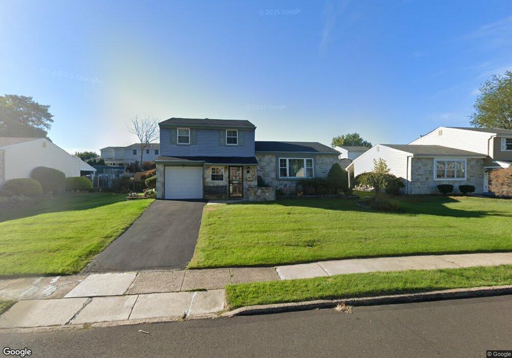
3263 Dale Rd Bensalem, PA 19020
Estimated Value: $347,000 - $477,000
3
Beds
3
Baths
1,353
Sq Ft
$305/Sq Ft
Est. Value
About This Home
This home is located at 3263 Dale Rd, Bensalem, PA 19020 and is currently estimated at $412,907, approximately $305 per square foot. 3263 Dale Rd is a home located in Bucks County with nearby schools including Benjamin Rush El School, School Lane Charter School, and St Charles Borromeo School.
Ownership History
Date
Name
Owned For
Owner Type
Purchase Details
Closed on
Oct 26, 2020
Sold by
Ho Helena Sim
Bought by
Carballo Caonex B and Carballo Giovanna
Current Estimated Value
Home Financials for this Owner
Home Financials are based on the most recent Mortgage that was taken out on this home.
Original Mortgage
$255,750
Outstanding Balance
$227,990
Interest Rate
2.9%
Mortgage Type
New Conventional
Estimated Equity
$184,917
Purchase Details
Closed on
Nov 30, 1995
Sold by
Salvatore Nicholas T and Salvatore Anne T
Bought by
Ho Helena Sim
Home Financials for this Owner
Home Financials are based on the most recent Mortgage that was taken out on this home.
Original Mortgage
$115,200
Interest Rate
7.43%
Purchase Details
Closed on
Oct 25, 1966
Bought by
Salvatore Nicholas T and Salvatore Anne T
Create a Home Valuation Report for This Property
The Home Valuation Report is an in-depth analysis detailing your home's value as well as a comparison with similar homes in the area
Home Values in the Area
Average Home Value in this Area
Purchase History
| Date | Buyer | Sale Price | Title Company |
|---|---|---|---|
| Carballo Caonex B | $250,000 | None Available | |
| Ho Helena Sim | $144,000 | -- | |
| Salvatore Nicholas T | -- | -- |
Source: Public Records
Mortgage History
| Date | Status | Borrower | Loan Amount |
|---|---|---|---|
| Open | Carballo Caonex B | $255,750 | |
| Previous Owner | Ho Helena Sim | $115,200 |
Source: Public Records
Tax History Compared to Growth
Tax History
| Year | Tax Paid | Tax Assessment Tax Assessment Total Assessment is a certain percentage of the fair market value that is determined by local assessors to be the total taxable value of land and additions on the property. | Land | Improvement |
|---|---|---|---|---|
| 2025 | $6,462 | $29,600 | $5,560 | $24,040 |
| 2024 | $6,462 | $29,600 | $5,560 | $24,040 |
| 2023 | $6,279 | $29,600 | $5,560 | $24,040 |
| 2022 | $6,243 | $29,600 | $5,560 | $24,040 |
| 2021 | $6,243 | $29,600 | $5,560 | $24,040 |
| 2020 | $6,180 | $29,600 | $5,560 | $24,040 |
| 2019 | $6,042 | $29,600 | $5,560 | $24,040 |
| 2018 | $5,902 | $29,600 | $5,560 | $24,040 |
| 2017 | $5,865 | $29,600 | $5,560 | $24,040 |
| 2016 | $5,865 | $29,600 | $5,560 | $24,040 |
| 2015 | -- | $29,600 | $5,560 | $24,040 |
| 2014 | -- | $29,600 | $5,560 | $24,040 |
Source: Public Records
Map
Nearby Homes
- 3255 Parkview Dr
- 3280 Fairway Rd
- 3201 Fairway Rd
- 1164 William Penn Dr
- 3546 Bristol Pike
- 3552 Bristol Pike
- 1105 Sheffield Ct
- 2692 June Ave
- 3933 Wrexham Ct
- 3806 Bristol Pike
- 3967 Gloucester Ct
- 2191 Dunksferry Rd
- 1881 Byberry Rd
- 2866 Wine Ave
- 1839 Byberry Rd
- 0 Neshaminy St Unit PABU2089046
- 2498 Ogden Ave
- 2645 Knights Rd
- 1421 Custom House Square
- 1319 Rosalie Ave