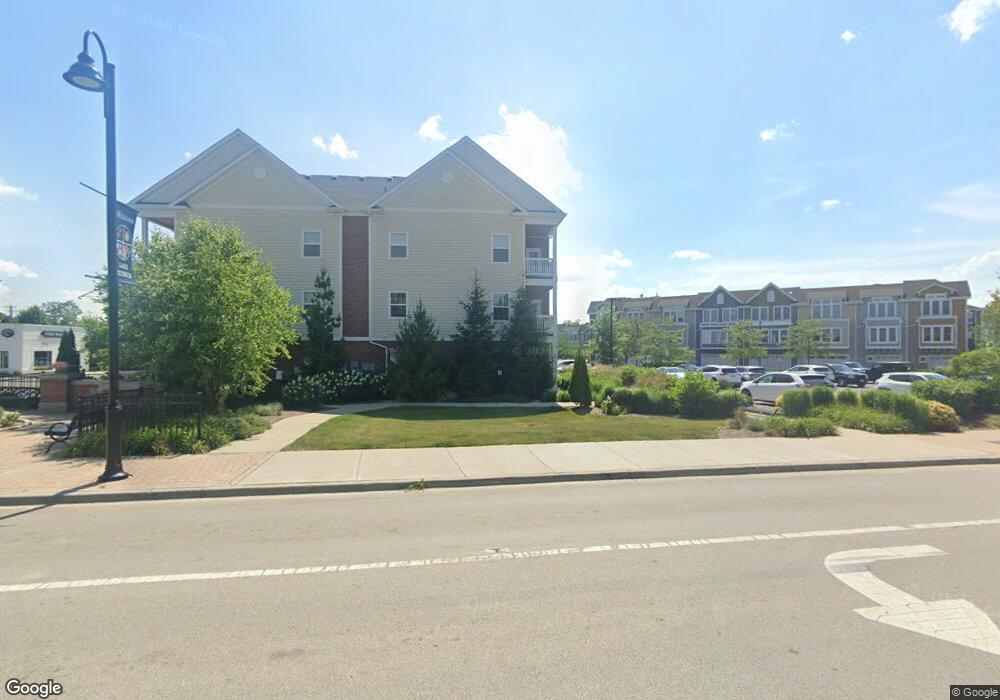
3263 Rfd Long Grove, IL 60047
Estimated Value: $458,415 - $844,000
Studio
2
Baths
1,481
Sq Ft
$448/Sq Ft
Est. Value
About This Home
This home is located at 3263 Rfd, Long Grove, IL 60047 and is currently estimated at $663,104, approximately $447 per square foot. 3263 Rfd is a home located in Lake County with nearby schools including Kildeer Countryside Elementary School, Woodlawn Middle School, and Adlai E Stevenson High School.
Ownership History
Date
Name
Owned For
Owner Type
Purchase Details
Closed on
Nov 15, 1996
Sold by
Augur Christopher E and Augur Joann Capezio
Bought by
Piotrowski Peter and Piotrowski Zuzanna
Current Estimated Value
Home Financials for this Owner
Home Financials are based on the most recent Mortgage that was taken out on this home.
Original Mortgage
$219,000
Outstanding Balance
$18,161
Interest Rate
6.25%
Estimated Equity
$644,943
Purchase Details
Closed on
Sep 22, 1993
Sold by
Tucker William C and Tucker Susanne M
Bought by
Augur Christopher E and Augur Joann Capezio
Home Financials for this Owner
Home Financials are based on the most recent Mortgage that was taken out on this home.
Original Mortgage
$216,000
Interest Rate
7.15%
Create a Home Valuation Report for This Property
The Home Valuation Report is an in-depth analysis detailing your home's value as well as a comparison with similar homes in the area
Home Values in the Area
Average Home Value in this Area
Purchase History
| Date | Buyer | Sale Price | Title Company |
|---|---|---|---|
| Piotrowski Peter | $263,000 | -- | |
| Augur Christopher E | $183,333 | First American Title |
Source: Public Records
Mortgage History
| Date | Status | Borrower | Loan Amount |
|---|---|---|---|
| Open | Piotrowski Peter | $219,000 | |
| Previous Owner | Augur Christopher E | $216,000 |
Source: Public Records
Tax History
| Year | Tax Paid | Tax Assessment Tax Assessment Total Assessment is a certain percentage of the fair market value that is determined by local assessors to be the total taxable value of land and additions on the property. | Land | Improvement |
|---|---|---|---|---|
| 2024 | $11,960 | $132,758 | $33,683 | $99,075 |
| 2023 | $11,960 | $129,192 | $32,778 | $96,414 |
| 2022 | $11,746 | $126,577 | $32,145 | $94,432 |
| 2021 | $11,179 | $123,333 | $31,321 | $92,012 |
| 2020 | $10,892 | $123,333 | $31,321 | $92,012 |
| 2019 | $10,553 | $122,257 | $31,048 | $91,209 |
| 2018 | $10,726 | $128,034 | $33,419 | $94,615 |
| 2017 | $10,595 | $126,491 | $33,016 | $93,475 |
| 2016 | $10,331 | $122,486 | $31,971 | $90,515 |
| 2015 | $10,296 | $116,664 | $30,451 | $86,213 |
| 2014 | $10,857 | $120,970 | $26,875 | $94,095 |
| 2012 | $11,268 | $121,225 | $26,932 | $94,293 |
Source: Public Records
Map
Nearby Homes
- 3273 Merrimac Ln
- 3459 W Mardan Dr
- 3523 Long Grove Rd
- 3733 Deerwood Dr
- 1147 Steeple View Dr
- 3734 Deerwood Dr
- 1144 Steeple View Dr
- 2507 Lincoln Ave
- 1773 Andrew Ct
- 1240 Antietam Dr
- 20580 W High Ridge Dr
- 3702 Deerwood Dr
- 1362 Gettysburg Rd
- 20785 N Meadows Ct
- 3821 Nottingham Dr
- 21693 N Tall Oaks Dr
- 3981 Old Mchenry Rd
- 924 Shambliss Ln
- 21962 N Tall Oaks Ct
- 1863 Pheasant Run
- 3261 Rfd
- 3412 E Mardan Dr
- 3410 E Mardan Dr
- 3265 Monticello Dr
- 3265 Rfd
- 3254 Mayflower Ln
- 3264 Monticello Dr
- 3264 Rfd
- 3408 E Mardan Dr
- 3259 Middlesax Dr
- 3414 E Mardan Dr
- 3257 Middlesax Dr
- 3262 Middlesax Dr
- 3407 E Mardan Dr
- 3252 Mayflower Ln
- 3409 E Mardan Dr
- 3255 Mayflower Ln
- 3416 E Mardan Dr
- 3267 Middlesax Dr
- 3271 Merrimac Ln
Your Personal Tour Guide
Ask me questions while you tour the home.