Estimated Value: $463,225 - $523,000
About This Home
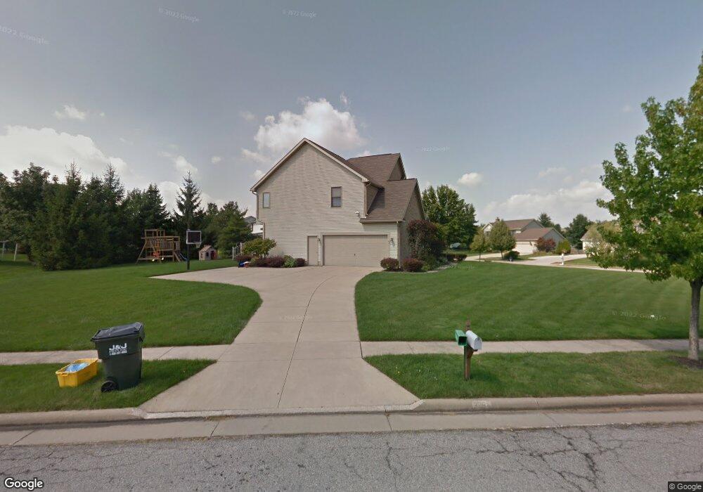
This home is located at 3264 Berwin Dr, Stow, OH 44224 and is currently estimated at $489,806, approximately $208 per square foot. 3264 Berwin Dr is a home located in Summit County with nearby schools including Stow-Munroe Falls High School and St Patrick Elementary School.
Ownership History
We collect this data history from publicly available records. To have your information removed, we recommend requesting removal directly through your county’s website.
Purchase Details
Home Financials for this Owner
Home Financials are based on the most recent Mortgage that was taken out on this home.Purchase Details
Home Values in the Area
Average Home Value in this Area
Purchase History
We collect this data history from publicly available records. To have your information removed, we recommend requesting removal directly through your county’s website.
| Date | Buyer | Sale Price | Title Company |
|---|---|---|---|
| $250,500 | Guardian Title | ||
| $44,900 | -- |
Mortgage History
We collect this data history from publicly available records. To have your information removed, we recommend requesting removal directly through your county’s website.
| Date | Status | Borrower | Loan Amount |
|---|---|---|---|
| Open | $245,890 |
Tax History
We collect this data history from publicly available records. To have your information removed, we recommend requesting removal directly through your county’s website.
| Year | Tax Paid | Tax Assessment Tax Assessment Total Assessment is a certain percentage of the fair market value that is determined by local assessors to be the total taxable value of land and additions on the property. | Land | Improvement |
|---|---|---|---|---|
| 2026 | $10,519 | $131,485 | $24,346 | $107,139 |
| 2024 | $7,401 | $131,485 | $24,346 | $107,139 |
| 2023 | $7,401 | $131,485 | $24,346 | $107,139 |
| 2022 | $6,889 | $108,063 | $19,957 | $88,106 |
| 2021 | $6,166 | $108,063 | $19,957 | $88,106 |
| 2020 | $6,060 | $108,070 | $19,960 | $88,110 |
| 2019 | $5,534 | $92,130 | $19,760 | $72,370 |
| 2018 | $5,443 | $92,130 | $19,760 | $72,370 |
| 2017 | $5,037 | $92,130 | $19,760 | $72,370 |
| 2016 | $5,184 | $82,770 | $19,760 | $63,010 |
| 2015 | $5,037 | $82,770 | $19,760 | $63,010 |
| 2014 | $5,063 | $83,130 | $19,760 | $63,370 |
| 2013 | $4,845 | $80,020 | $19,760 | $60,260 |
Map
- 4549 Bunker Ln
- 3176 Wexford Blvd
- 3023 Stockbridge Dr
- 2940 Progress Park Dr
- 4215 Quail Hollow Cir
- 4764 Young Rd
- 1132 Windward Ln
- 1180 Windward Ln
- 1312 Sunset Way Cir
- 1295 Shady Lakes Dr
- 1103 Adrian Ave
- 3949 Lake Run Blvd
- 2917 Windsor Ct Unit 106
- 1271 Carol Dr
- 1262 Carol Dr
- 1314 Denise Dr
- 2591 Jefferson Place Unit B
- 2932 Heatherwood Ct
- 4915 Friar Rd Unit B
- 4919 Friar Rd Unit B
Ask me questions while you tour the home.