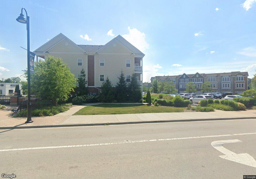
3265 Rfd Long Grove, IL 60047
Estimated Value: $508,000 - $735,000
--
Bed
2
Baths
1,865
Sq Ft
$316/Sq Ft
Est. Value
About This Home
This home is located at 3265 Rfd, Long Grove, IL 60047 and is currently estimated at $589,316, approximately $315 per square foot. 3265 Rfd is a home located in Lake County with nearby schools including Kildeer Countryside Elementary School, Woodlawn Middle School, and Adlai E Stevenson High School.
Ownership History
Date
Name
Owned For
Owner Type
Purchase Details
Closed on
Aug 27, 2010
Sold by
Clery John T and Helen K Mitchell Trust
Bought by
Dautel Kevin M
Current Estimated Value
Home Financials for this Owner
Home Financials are based on the most recent Mortgage that was taken out on this home.
Original Mortgage
$183,750
Outstanding Balance
$121,643
Interest Rate
4.49%
Mortgage Type
New Conventional
Estimated Equity
$467,673
Purchase Details
Closed on
Sep 4, 2002
Sold by
Mitchell Helen K and Mitchell Leon R
Bought by
Mitchell Helen K and Helen K Mitchell Trust
Create a Home Valuation Report for This Property
The Home Valuation Report is an in-depth analysis detailing your home's value as well as a comparison with similar homes in the area
Home Values in the Area
Average Home Value in this Area
Purchase History
| Date | Buyer | Sale Price | Title Company |
|---|---|---|---|
| Dautel Kevin M | $245,000 | Attorneys Title Guaranty Fun | |
| Mitchell Helen K | -- | -- |
Source: Public Records
Mortgage History
| Date | Status | Borrower | Loan Amount |
|---|---|---|---|
| Open | Dautel Kevin M | $183,750 |
Source: Public Records
Tax History Compared to Growth
Tax History
| Year | Tax Paid | Tax Assessment Tax Assessment Total Assessment is a certain percentage of the fair market value that is determined by local assessors to be the total taxable value of land and additions on the property. | Land | Improvement |
|---|---|---|---|---|
| 2024 | $12,515 | $138,529 | $33,684 | $104,845 |
| 2023 | $11,983 | $134,808 | $32,779 | $102,029 |
| 2022 | $11,983 | $129,018 | $32,146 | $96,872 |
| 2021 | $11,405 | $125,712 | $31,322 | $94,390 |
| 2020 | $11,003 | $125,712 | $31,322 | $94,390 |
| 2019 | $10,660 | $124,616 | $31,049 | $93,567 |
| 2018 | $9,601 | $116,412 | $33,368 | $83,044 |
| 2017 | $9,483 | $115,009 | $32,966 | $82,043 |
| 2016 | $9,245 | $110,245 | $31,922 | $78,323 |
| 2015 | $9,211 | $114,698 | $30,405 | $84,293 |
| 2014 | $7,264 | $82,920 | $26,835 | $56,085 |
| 2012 | $6,960 | $83,094 | $26,891 | $56,203 |
Source: Public Records
Map
Nearby Homes
- 2307 Old Hicks Rd
- 3159 Cuba Rd
- 3523 Long Grove Rd
- 3733 Deerwood Dr
- 3734 Deerwood Dr
- 1146 Steeple View Dr
- 1144 Steeple View Dr
- 3702 Deerwood Dr
- 1728 Holly Ct
- 3325 Country Ln
- 1763 Country Club Dr
- 21175 N Middleton Dr
- 2527 Checker Rd
- 21693 N Tall Oaks Dr
- 3981 Old Mchenry Rd
- 4106 Bob o Link Ln
- 1545 Chickamauga Ln
- 918 E Kings Row Unit 1
- 1514 Sumter Dr
- 4220 Bonhill Dr Unit 3E
- 3265 Monticello Dr
- 3264 Rfd
- 3264 Monticello Dr
- 3414 E Mardan Dr
- 3410 E Mardan Dr
- 3273 Merrimac Ln
- 3263 Rfd
- 3416 E Mardan Dr
- 3271 Merrimac Ln
- 3261 Rfd
- 3262 Middlesax Dr
- 3267 Middlesax Dr
- 3412 E Mardan Dr
- 3259 Middlesax Dr
- 3418 E Mardan Dr
- 3269 Middlesax Dr
- 3413 E Mardan Dr
- 3409 E Mardan Dr
- 3411 E Mardan Dr
- 3254 Mayflower Ln