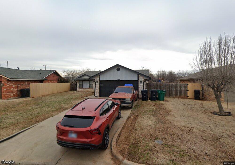
3265 SW 92nd St Oklahoma City, OK 73159
Wingspread NeighborhoodEstimated Value: $183,000 - $198,000
3
Beds
2
Baths
1,158
Sq Ft
$165/Sq Ft
Est. Value
About This Home
This home is located at 3265 SW 92nd St, Oklahoma City, OK 73159 and is currently estimated at $190,977, approximately $164 per square foot. 3265 SW 92nd St is a home located in Cleveland County with nearby schools including Earlywine Elementary School, West Junior High School, and Westmoore High School.
Ownership History
Date
Name
Owned For
Owner Type
Purchase Details
Closed on
Mar 17, 2014
Sold by
Vaught Kelli L and Vaught Jason Kyle
Bought by
Cannona Randy
Current Estimated Value
Home Financials for this Owner
Home Financials are based on the most recent Mortgage that was taken out on this home.
Original Mortgage
$102,116
Outstanding Balance
$77,341
Interest Rate
4.32%
Mortgage Type
FHA
Estimated Equity
$113,636
Purchase Details
Closed on
Mar 8, 2003
Sold by
Wilson Gina
Bought by
Kaufman Kelli L and Kaufman Warren C
Create a Home Valuation Report for This Property
The Home Valuation Report is an in-depth analysis detailing your home's value as well as a comparison with similar homes in the area
Home Values in the Area
Average Home Value in this Area
Purchase History
| Date | Buyer | Sale Price | Title Company |
|---|---|---|---|
| Cannona Randy | $104,000 | Stewart Abstract & Title Of | |
| Kaufman Kelli L | $76,500 | -- |
Source: Public Records
Mortgage History
| Date | Status | Borrower | Loan Amount |
|---|---|---|---|
| Open | Cannona Randy | $102,116 |
Source: Public Records
Tax History Compared to Growth
Tax History
| Year | Tax Paid | Tax Assessment Tax Assessment Total Assessment is a certain percentage of the fair market value that is determined by local assessors to be the total taxable value of land and additions on the property. | Land | Improvement |
|---|---|---|---|---|
| 2024 | $1,932 | $15,872 | $4,110 | $11,762 |
| 2023 | $1,848 | $15,116 | $4,260 | $10,856 |
| 2022 | $1,783 | $14,396 | $3,309 | $11,087 |
| 2021 | $1,694 | $13,711 | $2,972 | $10,739 |
| 2020 | $1,620 | $13,058 | $2,744 | $10,314 |
| 2019 | $1,561 | $12,436 | $2,634 | $9,802 |
| 2018 | $1,503 | $11,844 | $2,760 | $9,084 |
| 2017 | $1,505 | $11,844 | $0 | $0 |
| 2016 | $1,520 | $11,844 | $2,760 | $9,084 |
| 2015 | $1,420 | $11,973 | $2,400 | $9,573 |
| 2014 | $1,235 | $11,240 | $1,415 | $9,825 |
Source: Public Records
Map
Nearby Homes
- 3217 SW 95th St
- 3116 S David Dr
- 3205 SW 86th St
- 10212 Jetty Ct
- 9609 Lakecrest Dr
- 8409 S Independence Ave
- 8405 S Brookline Ave
- 2821 SW 86th St
- 2721 SW 87th St
- 10321 Portsmouth Ct
- 10304 Lighthouse Ct
- 2652 SW 96th St
- 7017 S Miller Ave
- 2605 SW 92nd St
- 3116 SW 105th Terrace
- 2613 SW 95th St
- 2525 SW 93rd St
- 3100 SW 105th St
- 2600 SW 98th St
- 3112 SW 106th St
- 3261 SW 92nd St
- 9301 S Land Ave
- 3257 SW 92nd St
- 3240 SW 92nd St
- 9309 S Land Ave
- 3253 SW 92nd St
- 3236 SW 92nd St
- 3241 SW 93rd St
- 3232 SW 92nd St
- 9313 S Land Ave
- 3237 SW 93rd St
- 9317 S Land Ave
- 3228 SW 92nd St
- 3233 SW 93rd St
- 3245 SW 92nd St
- 9401 S Land Ave
- 3229 SW 93rd St
- 3224 SW 92nd St
- 3241 SW 92nd St
- 3225 SW 93rd St