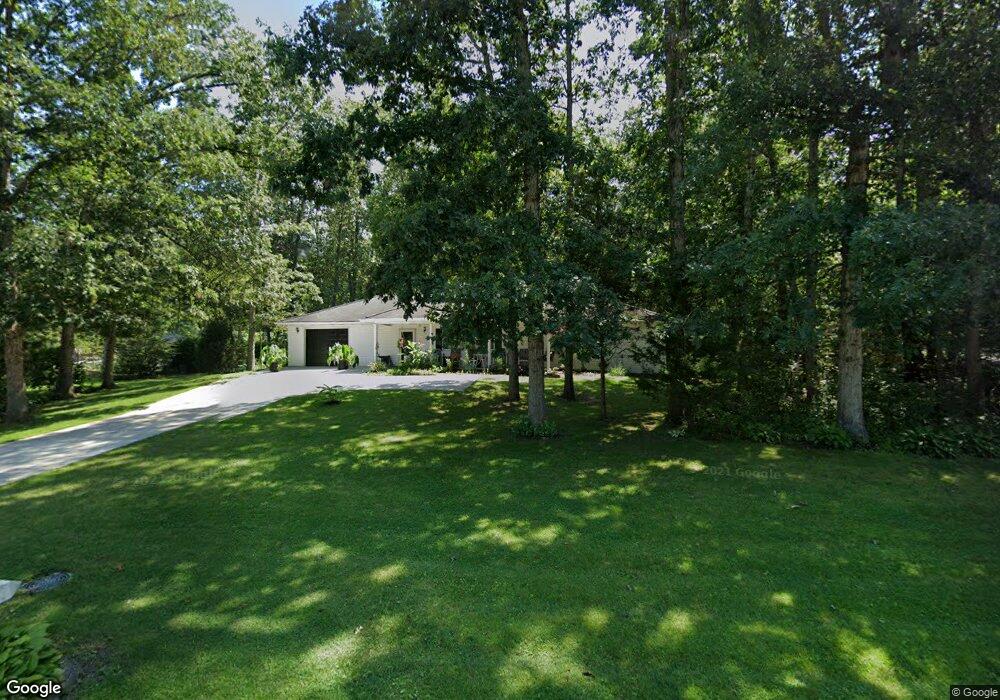
3266 Rosstown Rd Unit 4 Wellsville, PA 17365
Warrington Township NeighborhoodEstimated Value: $232,000
2
Beds
4
Baths
1,889
Sq Ft
$123/Sq Ft
Est. Value
About This Home
This home is located at 3266 Rosstown Rd Unit 4, Wellsville, PA 17365 and is currently priced at $232,000, approximately $122 per square foot. 3266 Rosstown Rd Unit 4 is a home located in York County with nearby schools including Northern Middle School and Northern High School.
Ownership History
Date
Name
Owned For
Owner Type
Purchase Details
Closed on
Aug 27, 2010
Sold by
Shoop Darrell L and Shoop Sharon A
Bought by
Stough Ronald L and Stough Dawn N
Current Estimated Value
Home Financials for this Owner
Home Financials are based on the most recent Mortgage that was taken out on this home.
Original Mortgage
$141,165
Outstanding Balance
$93,735
Interest Rate
4.55%
Mortgage Type
FHA
Purchase Details
Closed on
Jun 4, 1993
Bought by
Shoop Darrell L and Shoop Sharon A
Create a Home Valuation Report for This Property
The Home Valuation Report is an in-depth analysis detailing your home's value as well as a comparison with similar homes in the area
Home Values in the Area
Average Home Value in this Area
Purchase History
| Date | Buyer | Sale Price | Title Company |
|---|---|---|---|
| Stough Ronald L | $143,067 | None Available | |
| Shoop Darrell L | $80,900 | -- |
Source: Public Records
Mortgage History
| Date | Status | Borrower | Loan Amount |
|---|---|---|---|
| Open | Stough Ronald L | $141,165 |
Source: Public Records
Tax History Compared to Growth
Tax History
| Year | Tax Paid | Tax Assessment Tax Assessment Total Assessment is a certain percentage of the fair market value that is determined by local assessors to be the total taxable value of land and additions on the property. | Land | Improvement |
|---|---|---|---|---|
| 2022 | $0 | $98,440 | $0 | $98,440 |
| 2021 | $2,321 | $98,440 | $0 | $98,440 |
| 2020 | $2,321 | $98,440 | $0 | $98,440 |
| 2019 | $592 | $98,440 | $0 | $98,440 |
| 2018 | $2,214 | $98,440 | $0 | $98,440 |
| 2017 | $0 | $98,440 | $0 | $98,440 |
| 2016 | $0 | $98,440 | $0 | $98,440 |
| 2015 | -- | $98,440 | $0 | $98,440 |
| 2014 | -- | $98,440 | $0 | $98,440 |
Source: Public Records
Map
Nearby Homes
- 0 W Camping Area Rd
- 540 Zeigler Rd
- 810 Zeigler Rd
- 480 Mount Airy Rd Unit 13
- Tract #1 Carlisle Rd
- 329 Mount Airy Rd
- 8395 Carlisle Rd
- 1967 Pinetown Rd
- 450 Stone Jug Rd
- 76 Poplar Rd
- 6200 Old Carlisle Rd
- 270 S Winding Rd
- 25 Rocky Wood Ln
- 6031 Mountain Rd
- 1500 Ridge Rd
- 375 Mount Zion Rd
- 5840 Old Carlisle Rd
- 5790 Carlisle Rd
- 5790 Mountain Rd
- 2530 Sky Top Trail
- 3266 Rosstown Rd Unit 12
- 3266 Rosstown Rd
- 3266 Rosstown Rd Unit 7
- 3266 Rosstown Rd
- 3266 Rosstown Rd
- 3266 Rosstown Rd
- 3266 Rosstown Rd
- 3266 Rosstown Rd Unit 11
- 3266 Rosstown Rd Unit 10
- 3266 Rosstown Rd Unit 9
- 3266 Rosstown Rd Unit 8
- 3266 Rosstown Rd Unit 7
- 3266 Rosstown Rd Unit 6
- 3266 Rosstown Rd Unit 5
- 3266 Rosstown Rd Unit 3
- 3266 Rosstown Rd Unit 2
- 3266 Rosstown Rd
- 3266 Rosstown Rd
- 3266 Rosstown Rd Unit 12
- 3280 Rosstown Rd