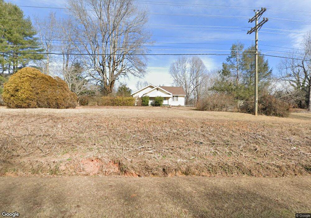
3268 Highway 129 N Cleveland, GA 30528
Estimated Value: $352,000 - $413,000
3
Beds
2
Baths
1,473
Sq Ft
$255/Sq Ft
Est. Value
About This Home
This home is located at 3268 Highway 129 N, Cleveland, GA 30528 and is currently estimated at $374,894, approximately $254 per square foot. 3268 Highway 129 N is a home located in White County with nearby schools including Tesnatee Gap Elementary (Old White County Intermediate), White County 9th Grade Academy, and Jack P. Nix Elementary School.
Ownership History
Date
Name
Owned For
Owner Type
Purchase Details
Closed on
Nov 18, 2024
Sold by
Westmoreland Kurt
Bought by
Westmoreland Allyson B and Westmoreland Kurt
Current Estimated Value
Home Financials for this Owner
Home Financials are based on the most recent Mortgage that was taken out on this home.
Original Mortgage
$245,000
Outstanding Balance
$242,704
Interest Rate
6.44%
Mortgage Type
New Conventional
Estimated Equity
$132,190
Create a Home Valuation Report for This Property
The Home Valuation Report is an in-depth analysis detailing your home's value as well as a comparison with similar homes in the area
Home Values in the Area
Average Home Value in this Area
Purchase History
| Date | Buyer | Sale Price | Title Company |
|---|---|---|---|
| Westmoreland Allyson B | -- | -- | |
| Westmoreland Kurt | $350,000 | -- |
Source: Public Records
Mortgage History
| Date | Status | Borrower | Loan Amount |
|---|---|---|---|
| Open | Westmoreland Kurt | $245,000 |
Source: Public Records
Tax History Compared to Growth
Tax History
| Year | Tax Paid | Tax Assessment Tax Assessment Total Assessment is a certain percentage of the fair market value that is determined by local assessors to be the total taxable value of land and additions on the property. | Land | Improvement |
|---|---|---|---|---|
| 2025 | $2,060 | $130,664 | $84,400 | $46,264 |
| 2024 | $2,060 | $98,876 | $67,520 | $31,356 |
| 2023 | $2,166 | $95,520 | $67,520 | $28,000 |
| 2022 | $1,107 | $46,672 | $22,408 | $24,264 |
| 2021 | $1,076 | $40,140 | $19,748 | $20,392 |
| 2020 | $1,044 | $37,080 | $18,432 | $18,648 |
| 2019 | $1,047 | $37,080 | $18,432 | $18,648 |
| 2018 | $1,047 | $37,080 | $18,432 | $18,648 |
| 2017 | $1,008 | $36,040 | $18,432 | $17,608 |
| 2016 | $1,001 | $35,776 | $18,432 | $17,344 |
| 2015 | $920 | $86,150 | $17,116 | $17,344 |
| 2014 | $874 | $81,690 | $0 | $0 |
Source: Public Records
Map
Nearby Homes
- 0 Twin Lakes Rd Unit 10569553
- 0 Twin Lakes Rd Unit 10632006
- 0 Forked Leaf Rd Unit 35 10533716
- 0 Stone Cliff Trace Unit 7593665
- 0 Forked Leaf Rd Unit 29 10594626
- 0 NE Springwinds Dr Unit 10368453
- 0 Northshore Dr Unit 10621289
- 0 Royal at Kinsey Town Unit 7652578
- 0 Royal at Kinsey Town Unit 10609270
- 0 Highway 255 S Unit 10629772
- 0 Old H K Wagon Rd Unit 20173099
- 0 Stone Cliff Trace Unit 10565318
- 156 Brett Rd
- 25 Caudell Dr
- 321 Conasauga Dr
- 138 Back Trail
- 366 Barker Trail Rd
- 113 Barker Trail Rd
- 4179 Highway 129 N
- 166 High Meadow Trail
- 3326 Highway 129 N
- 54 Twin Lakes Rd
- 3173 Highway 129 N
- 186 Leona Ln
- 78 Twin Lakes Rd Unit 2
- 78 Twin Lakes Rd
- 340 Leona Ln
- 340 Leona Ln
- 0 Leona Ln
- 100 Jersey Dr
- 102 Twin Lakes Rd
- 3431 Highway 129 N
- 23 Knaus Dr
- 231 Leona Ln
- 153 Twin Lakes Rd
- 261 Tesnatee Landing Dr
- 3044 U S 129
- 155 Leona Ln
- 146 Twin Lakes Rd
- 331 Leona Ln