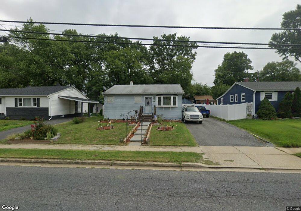
327 Brock Bridge Rd Laurel, MD 20724
Maryland City NeighborhoodEstimated Value: $372,720 - $412,000
--
Bed
1
Bath
840
Sq Ft
$462/Sq Ft
Est. Value
About This Home
This home is located at 327 Brock Bridge Rd, Laurel, MD 20724 and is currently estimated at $387,930, approximately $461 per square foot. 327 Brock Bridge Rd is a home located in Anne Arundel County with nearby schools including Brock Bridge Elementary School, Meade Middle School, and Meade High School.
Ownership History
Date
Name
Owned For
Owner Type
Purchase Details
Closed on
Aug 23, 2000
Sold by
Kawski Richard A
Bought by
Smitson Samuel J and Smitson Beverly J
Current Estimated Value
Purchase Details
Closed on
Aug 7, 1997
Sold by
Prosser Todd J
Bought by
Kawski Richard A and Klein Ruth H
Purchase Details
Closed on
Feb 6, 1989
Sold by
Miller Robert S
Bought by
Prosser Todd J
Home Financials for this Owner
Home Financials are based on the most recent Mortgage that was taken out on this home.
Original Mortgage
$92,589
Interest Rate
10.55%
Create a Home Valuation Report for This Property
The Home Valuation Report is an in-depth analysis detailing your home's value as well as a comparison with similar homes in the area
Home Values in the Area
Average Home Value in this Area
Purchase History
| Date | Buyer | Sale Price | Title Company |
|---|---|---|---|
| Smitson Samuel J | $122,900 | -- | |
| Kawski Richard A | $114,990 | -- | |
| Prosser Todd J | $90,000 | -- |
Source: Public Records
Mortgage History
| Date | Status | Borrower | Loan Amount |
|---|---|---|---|
| Previous Owner | Prosser Todd J | $92,589 | |
| Closed | Smitson Samuel J | -- |
Source: Public Records
Tax History Compared to Growth
Tax History
| Year | Tax Paid | Tax Assessment Tax Assessment Total Assessment is a certain percentage of the fair market value that is determined by local assessors to be the total taxable value of land and additions on the property. | Land | Improvement |
|---|---|---|---|---|
| 2025 | $3,518 | $293,500 | $195,800 | $97,700 |
| 2024 | $3,518 | $275,400 | $0 | $0 |
| 2023 | $3,283 | $257,300 | $0 | $0 |
| 2022 | $2,930 | $239,200 | $149,500 | $89,700 |
| 2021 | $5,751 | $234,000 | $0 | $0 |
| 2020 | $2,781 | $228,800 | $0 | $0 |
| 2019 | $2,728 | $223,600 | $144,500 | $79,100 |
| 2018 | $2,175 | $214,467 | $0 | $0 |
| 2017 | $2,475 | $205,333 | $0 | $0 |
| 2016 | -- | $196,200 | $0 | $0 |
| 2015 | -- | $188,233 | $0 | $0 |
| 2014 | -- | $180,267 | $0 | $0 |
Source: Public Records
Map
Nearby Homes
- 5 S Paula St
- 313 Old Line Ave
- 11 S Carol St
- 312 Park Hall S
- 328 Vale Summit S
- 3381 Horsehead S
- 266 Brock Bridge Rd
- 253 Ironshire S
- 3372 Sudlersville S
- 242 Elkton S
- 237 Brock Bridge Rd
- 229 Old Line Ave
- 235 Brock Bridge Rd
- 231 Brock Bridge Rd
- 3341 Valley Lee S
- 3381 Style Ave
- 3322 Valley Lee S
- 3500 Old Annapolis Rd
- 1774 Mill Branch Dr
- 1768 Mill Branch Dr
- 329 Brock Bridge Rd
- 325 Brock Bridge Rd
- 324 Marganza S
- 326 Marganza S
- 323 Brock Bridge Rd
- 331 Brock Bridge Rd
- 322 Marganza S
- 328 Marganza S
- 324 Brock Bridge Rd
- 320 Marganza S
- 321 Brock Bridge Rd
- 333 Brock Bridge Rd
- 322 Brock Bridge Rd
- 330 Marganza S
- 318 Marganza S
- 320 Brock Bridge Rd
- 326 Brock Bridge Rd
- 335 Brock Bridge Rd
- 319 Brock Bridge Rd
- 332 Marganza S