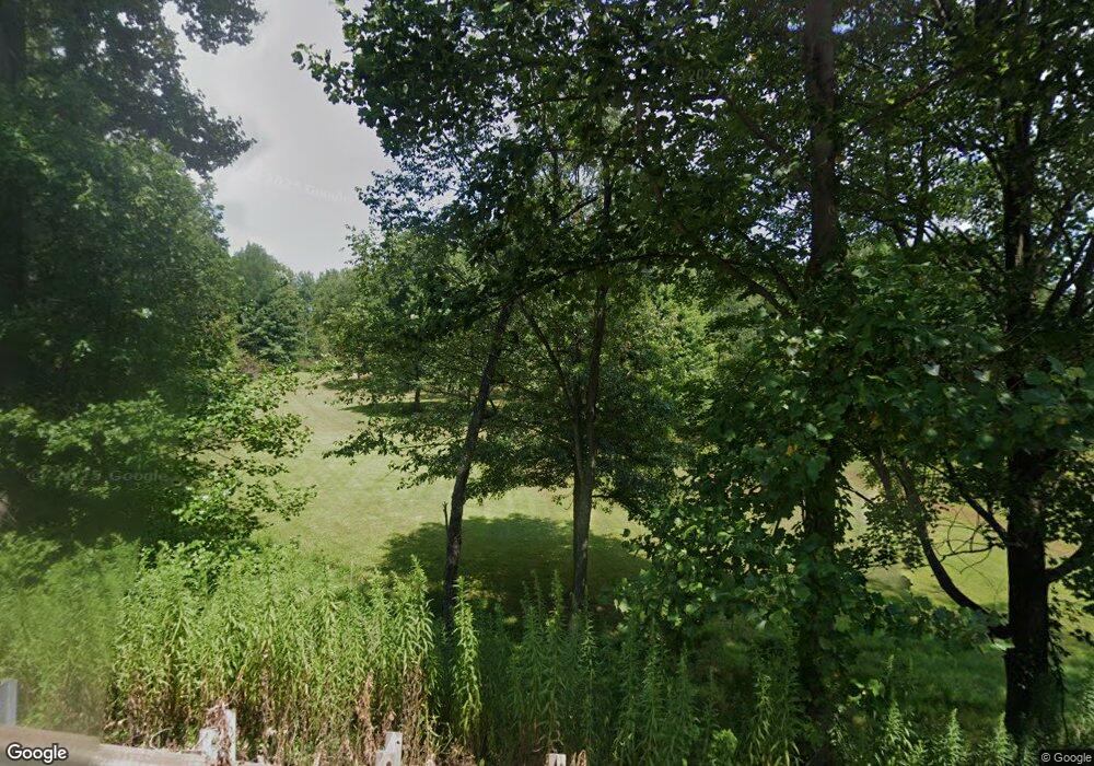
327 Browntown Rd Slippery Rock, PA 16057
Mercer Township NeighborhoodEstimated Value: $191,295 - $255,000
4
Beds
1
Bath
2,405
Sq Ft
$93/Sq Ft
Est. Value
About This Home
This home is located at 327 Browntown Rd, Slippery Rock, PA 16057 and is currently estimated at $223,432, approximately $92 per square foot. 327 Browntown Rd is a home located in Butler County with nearby schools including Slippery Rock Area High School.
Ownership History
Date
Name
Owned For
Owner Type
Purchase Details
Closed on
Nov 17, 2004
Sold by
Rockburn Mary
Bought by
Nevel Bruce and Mcfeaters,Amy
Current Estimated Value
Home Financials for this Owner
Home Financials are based on the most recent Mortgage that was taken out on this home.
Original Mortgage
$90,000
Outstanding Balance
$44,793
Interest Rate
5.74%
Mortgage Type
New Conventional
Estimated Equity
$178,639
Create a Home Valuation Report for This Property
The Home Valuation Report is an in-depth analysis detailing your home's value as well as a comparison with similar homes in the area
Home Values in the Area
Average Home Value in this Area
Purchase History
| Date | Buyer | Sale Price | Title Company |
|---|---|---|---|
| Nevel Bruce | $90,000 | -- |
Source: Public Records
Mortgage History
| Date | Status | Borrower | Loan Amount |
|---|---|---|---|
| Open | Nevel Bruce | $90,000 |
Source: Public Records
Tax History Compared to Growth
Tax History
| Year | Tax Paid | Tax Assessment Tax Assessment Total Assessment is a certain percentage of the fair market value that is determined by local assessors to be the total taxable value of land and additions on the property. | Land | Improvement |
|---|---|---|---|---|
| 2025 | $1,850 | $12,740 | $1,500 | $11,240 |
| 2024 | $1,777 | $12,740 | $1,500 | $11,240 |
| 2023 | $1,745 | $12,740 | $1,500 | $11,240 |
| 2022 | $1,707 | $12,740 | $1,500 | $11,240 |
| 2021 | $1,707 | $12,740 | $0 | $0 |
| 2020 | $1,707 | $12,740 | $1,500 | $11,240 |
| 2019 | $1,682 | $12,740 | $1,500 | $11,240 |
| 2018 | $1,682 | $12,740 | $1,500 | $11,240 |
| 2017 | $1,368 | $10,440 | $1,500 | $8,940 |
| 2016 | $404 | $10,440 | $1,500 | $8,940 |
| 2015 | $212 | $10,440 | $1,500 | $8,940 |
| 2014 | $212 | $10,440 | $1,500 | $8,940 |
Source: Public Records
Map
Nearby Homes
- 0 Browntown Rd
- 117 Saloom Ln
- 216 Edna St
- 88 Fleming Rd
- 0 Frampton Rd Unit 1707752
- 224 Boyers Rd
- --- Pink Rd
- *** Airport Rd
- 34 Westminster Place
- 594 E Main Street Extension
- 15 Willow Ln
- 573 E Main St Extension
- 17 Forest Glen Dr
- 554 E Main Street Extension
- 0 Camp Ground Rd
- 67 Hummel Blvd
- 727 Terrace Ave
- 716 Terrace Ave
- 409 Summit St
- 405 W Washington Blvd
- 000 Browntown Rd
- 318 Browntown Rd
- 315 Browntown Rd
- 311 Browntown Rd
- 910 Harmony Rd
- 351 Browntown Rd
- 900 Harmony Rd
- 0 Harmony Rd
- 292 Browntown Rd
- 891 Harmony Rd
- 290 Browntown Rd
- 360 Browntown Rd
- 866 Harmony Rd
- 289 Browntown Rd
- 361 Browntown Rd
- 998 Harmony Rd
- 921 Harmony Rd
- 857 Harmony Rd
- 385 Browntown Rd
- 391 Browntown Rd
