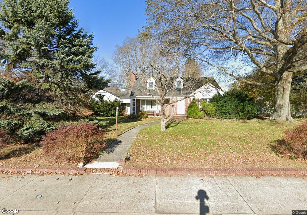
327 Cedar Ave Long Branch, NJ 07740
Estimated Value: $1,362,000 - $1,906,000
5
Beds
3
Baths
2,272
Sq Ft
$689/Sq Ft
Est. Value
About This Home
This home is located at 327 Cedar Ave, Long Branch, NJ 07740 and is currently estimated at $1,566,254, approximately $689 per square foot. 327 Cedar Ave is a home located in Monmouth County with nearby schools including Long Branch High School, Bet Yaakov of the Jersey Shore, and Holy Trinity School.
Ownership History
Date
Name
Owned For
Owner Type
Purchase Details
Closed on
Jan 12, 2006
Sold by
Morrow Sandra L
Bought by
Sutton Saul and Sutton Farideh
Current Estimated Value
Home Financials for this Owner
Home Financials are based on the most recent Mortgage that was taken out on this home.
Original Mortgage
$388,500
Outstanding Balance
$218,366
Interest Rate
6.27%
Mortgage Type
New Conventional
Estimated Equity
$1,347,888
Create a Home Valuation Report for This Property
The Home Valuation Report is an in-depth analysis detailing your home's value as well as a comparison with similar homes in the area
Home Values in the Area
Average Home Value in this Area
Purchase History
| Date | Buyer | Sale Price | Title Company |
|---|---|---|---|
| Sutton Saul | $518,000 | -- |
Source: Public Records
Mortgage History
| Date | Status | Borrower | Loan Amount |
|---|---|---|---|
| Open | Sutton Saul | $388,500 |
Source: Public Records
Tax History
| Year | Tax Paid | Tax Assessment Tax Assessment Total Assessment is a certain percentage of the fair market value that is determined by local assessors to be the total taxable value of land and additions on the property. | Land | Improvement |
|---|---|---|---|---|
| 2025 | $15,676 | $1,263,900 | $813,300 | $450,600 |
| 2024 | $15,045 | $1,019,900 | $588,900 | $431,000 |
Source: Public Records
Map
Nearby Homes
- 324 Cedar Ave
- 497 Norwood Ave
- 316 Oakley Ave
- 280 Oakley Ave
- 9 Norwood Ct
- 448 Monmouth Place
- 266 Lenox Ave
- 211 Cedar Ave
- 19 Clarence Ave
- 20 Clarence Ave
- 294 Brighton Ave
- 552 Westwood Ave
- 280 Cummings Ave
- 3 Reid St
- 890 Woodgate Ave
- 221 Brighton Ave Unit 203
- 889 Red Oaks Dr
- 317 Norwood Ave
- 411 Brighton Ave
- 265 Highland Ave
- 311 Cedar Ave
- 424 Monmouth Place
- 343 Cedar Ave
- 728 Westwood Ave
- 309 Cedar Ave
- 309 Cedar Ave Unit 3
- 309 Cedar Ave Unit 2
- 724 Westwood Ave
- 332 Cedar Ave
- 328 Cedar Ave
- 320 Cedar Ave
- 712 Westwood Ave
- 745 van Ct Ave
- 348 Cedar Ave Unit 4
- 348 Cedar Ave Unit 6
- 348 Cedar Ave Unit 2
- 348 Cedar Ave Unit 3
- 348 Cedar Ave Unit 5
- 348 Cedar Ave Unit 1
- 316 Cedar Ave
Your Personal Tour Guide
Ask me questions while you tour the home.