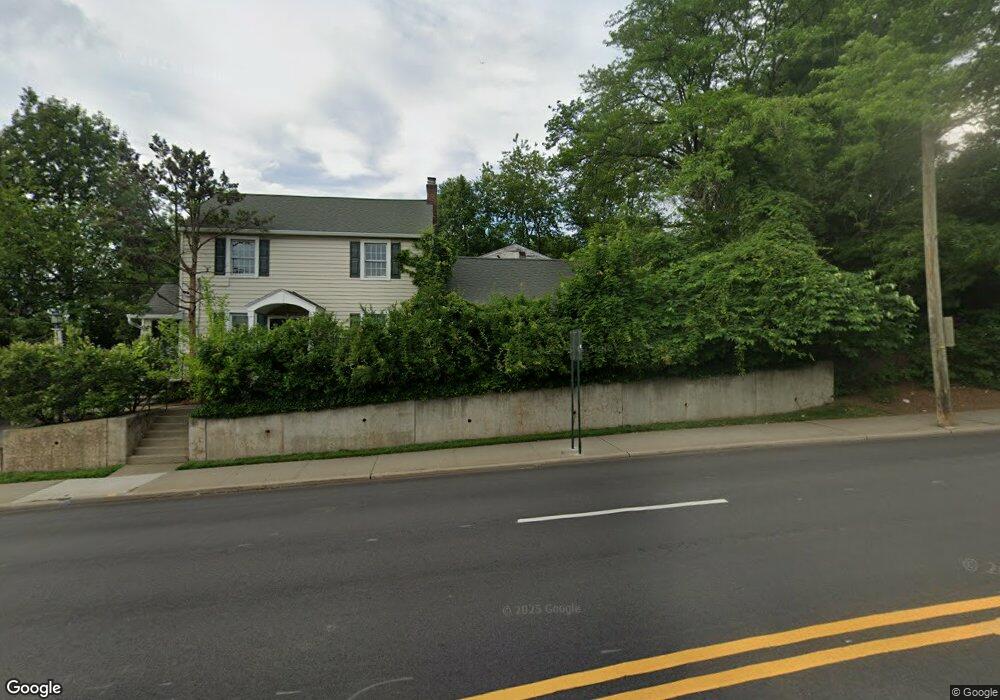
327 Cedar Ln Unit A Teaneck, NJ 07666
Estimated Value: $988,000 - $1,082,792
3
Beds
2
Baths
3,806
Sq Ft
$272/Sq Ft
Est. Value
About This Home
This home is located at 327 Cedar Ln Unit A, Teaneck, NJ 07666 and is currently estimated at $1,034,448, approximately $271 per square foot. 327 Cedar Ln Unit A is a home located in Bergen County with nearby schools including Teaneck Senior High School, Teaneck Community Charter School, and Heichal Hatorah.
Ownership History
Date
Name
Owned For
Owner Type
Purchase Details
Closed on
Oct 23, 2025
Sold by
Netivot Shalom Inc
Bought by
Netivot Shalom Inc
Current Estimated Value
Purchase Details
Closed on
Feb 14, 2018
Sold by
Gatto-Bauer Henretta
Bought by
Netivot Shalom Inc
Home Financials for this Owner
Home Financials are based on the most recent Mortgage that was taken out on this home.
Original Mortgage
$388,500
Interest Rate
4.15%
Mortgage Type
Purchase Money Mortgage
Purchase Details
Closed on
Jul 7, 2007
Sold by
Bauer Henrietta G and Gordon Sarah
Bought by
Bauer Menrietta G
Create a Home Valuation Report for This Property
The Home Valuation Report is an in-depth analysis detailing your home's value as well as a comparison with similar homes in the area
Home Values in the Area
Average Home Value in this Area
Purchase History
| Date | Buyer | Sale Price | Title Company |
|---|---|---|---|
| Netivot Shalom Inc | -- | Old Republic National Title In | |
| Netivot Shalom Inc | $518,000 | -- | |
| Bauer Menrietta G | -- | -- |
Source: Public Records
Mortgage History
| Date | Status | Borrower | Loan Amount |
|---|---|---|---|
| Previous Owner | Netivot Shalom Inc | $388,500 |
Source: Public Records
Tax History
| Year | Tax Paid | Tax Assessment Tax Assessment Total Assessment is a certain percentage of the fair market value that is determined by local assessors to be the total taxable value of land and additions on the property. | Land | Improvement |
|---|---|---|---|---|
| 2025 | $15,939 | $729,800 | $319,800 | $410,000 |
| 2024 | $14,034 | $729,800 | $319,800 | $410,000 |
| 2023 | $13,757 | $425,000 | $260,200 | $164,800 |
| 2022 | $13,757 | $425,000 | $260,200 | $164,800 |
| 2021 | $13,838 | $425,000 | $260,200 | $164,800 |
| 2020 | $13,745 | $425,000 | $260,200 | $164,800 |
| 2019 | $13,587 | $425,000 | $260,200 | $164,800 |
| 2018 | $13,485 | $425,000 | $260,200 | $164,800 |
| 2017 | $13,358 | $425,000 | $260,200 | $164,800 |
| 2016 | $15,452 | $499,100 | $260,200 | $238,900 |
| 2015 | $15,208 | $499,100 | $260,200 | $238,900 |
| 2014 | $17,167 | $667,700 | $367,100 | $300,600 |
Source: Public Records
Map
Nearby Homes
- 264 Merrison St
- 746 Queen Anne Rd
- 681 Palisade Ave
- 857 Garrison Ave
- 735 Elm Ave Unit 5F
- 940 Garrison Ave
- 489 Maple Ave
- 257 Elm Ave
- 995 Grace Terrace
- 1 Grange Ct
- 364 Billington Rd
- 850 Broad St
- 87 Grayson Place
- 63 Parkside Ln
- 2 Parkside Ln
- 315 Pine St
- 14 Parkside Ln
- 539 Kenwood Place
- 1067 Julia St
- 1105 Belle Ave
- 327 Cedar Ln
- 327 Cedar Ln Unit B
- 324 Frances St
- 318 Frances St
- 315 Cedar Ln
- 312 Frances St
- 306 Frances St
- 302 Frances St
- 333 Frances St
- 323 Frances St
- 310 Cedar Ln Unit 3A
- 310 Cedar Ln Unit 3C
- 310 Cedar Ln Unit 3G
- 310 Cedar Ln Unit 2A
- 310 Cedar Ln
- 300 Frances St
- 837 Palisade Ave
- 321 Frances St
- 315 Frances St
- 325 Barr Ave
Your Personal Tour Guide
Ask me questions while you tour the home.