G
Seller's Agent in 2012
Gary Bagley
Bagley & Assoc.

Estimated Value: $14,549 - $90,000
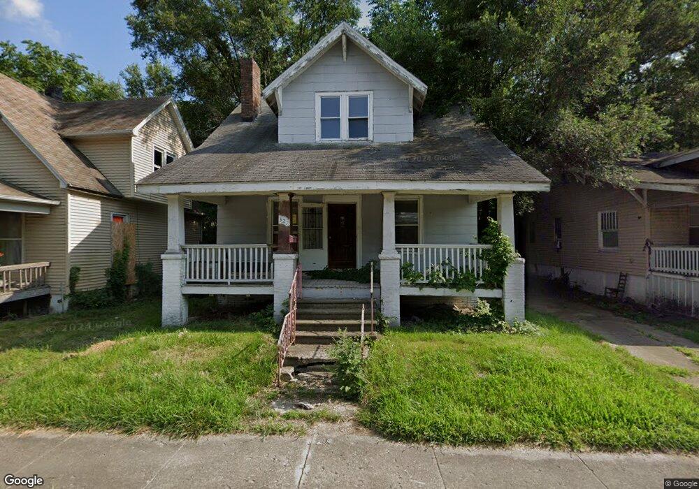
Great investment opportunity! This is a Fannie Mae HomePath property. Owner occupant offers only first 15 days of listing, visit www.homepath.com for countdown clock.
Last Agent to Sell the Property
Gary Bagley
Bagley & Assoc. License #471010609 Listed on: 05/21/2012
Last Buyer's Agent
Gary Bagley
Bagley & Assoc. License #471010609 Listed on: 05/21/2012
| Date | Buyer | Sale Price | Title Company |
|---|---|---|---|
| Lofton Tommie | $3,000 | None Listed On Document | |
| Oneal Cindy | $1,000 | None Available | |
| Cunningham William A | -- | None Available | |
| Moses Dow | -- | -- | |
| Ziemer Alex | -- | None Available | |
| Federal National Mortgage Association | -- | None Available |
| Date | Event | Price | List to Sale | Price per Sq Ft |
|---|---|---|---|---|
| 06/29/2012 06/29/12 | Sold | $2,200 | -14.6% | $2 / Sq Ft |
| 06/12/2012 06/12/12 | Pending | -- | -- | -- |
| 05/21/2012 05/21/12 | For Sale | $2,575 | -- | $2 / Sq Ft |
| Year | Tax Paid | Tax Assessment Tax Assessment Total Assessment is a certain percentage of the fair market value that is determined by local assessors to be the total taxable value of land and additions on the property. | Land | Improvement |
|---|---|---|---|---|
| 2024 | $408 | $4,216 | $437 | $3,779 |
| 2023 | $405 | $4,067 | $422 | $3,645 |
| 2022 | $396 | $3,867 | $390 | $3,477 |
| 2021 | $372 | $3,613 | $365 | $3,248 |
| 2020 | $366 | $3,446 | $349 | $3,097 |
| 2019 | $366 | $3,446 | $349 | $3,097 |
| 2018 | $381 | $3,628 | $176 | $3,452 |
| 2017 | $390 | $3,725 | $181 | $3,544 |
| 2016 | $398 | $3,763 | $183 | $3,580 |
| 2015 | $378 | $3,697 | $180 | $3,517 |
| 2014 | $353 | $3,660 | $178 | $3,482 |
| 2013 | $363 | $3,798 | $185 | $3,613 |
G
Seller's Agent in 2012
Gary Bagley
Bagley & Assoc.
Source: Central Illinois Board of REALTORS®
MLS Number: 5189094
APN: 04-12-11-152-011
Ask me questions while you tour the home.
