327 Kermit Ln Conway, SC 29526
Estimated Value: $348,000 - $774,503
3
Beds
2
Baths
1,737
Sq Ft
$284/Sq Ft
Est. Value
About This Home
This home is located at 327 Kermit Ln, Conway, SC 29526 and is currently estimated at $493,168, approximately $283 per square foot. 327 Kermit Ln is a home located in Horry County with nearby schools including Kingston Elementary School, Conway Middle School, and Conway High School.
Ownership History
Date
Name
Owned For
Owner Type
Purchase Details
Closed on
Jul 18, 2014
Sold by
Todd Kermit D and Todd Lois W
Bought by
Kelly Todd Ricky Allen and Kelly Todd Richard
Current Estimated Value
Purchase Details
Closed on
Mar 4, 2014
Sold by
Todd Kermit D
Bought by
Owens Todd Azile S
Purchase Details
Closed on
Feb 7, 2014
Sold by
Owens Todd Azile S
Bought by
Todd Kermit D
Purchase Details
Closed on
Dec 14, 2011
Sold by
Martin Deborah Dianne T
Bought by
Todd Kermit Davis
Purchase Details
Closed on
Dec 27, 2010
Sold by
Todd Joshua Keith
Bought by
Todd Kermit Davis
Purchase Details
Closed on
Dec 21, 2010
Sold by
Todd Rebecca Dianne
Bought by
Todd Kermit Davis
Purchase Details
Closed on
Oct 22, 2009
Sold by
Todd Gene A
Bought by
Owens Todd Azile S
Purchase Details
Closed on
Nov 3, 2008
Sold by
Todd Doris Ann
Bought by
Martin Deborah Dianne T
Purchase Details
Closed on
Nov 24, 1999
Sold by
Todd Edwin W and Todd Gene A
Bought by
Todd Edwin Westbury and Todd Gene A
Create a Home Valuation Report for This Property
The Home Valuation Report is an in-depth analysis detailing your home's value as well as a comparison with similar homes in the area
Home Values in the Area
Average Home Value in this Area
Purchase History
| Date | Buyer | Sale Price | Title Company |
|---|---|---|---|
| Kelly Todd Ricky Allen | -- | -- | |
| Todd Lois W | -- | -- | |
| Owens Todd Azile S | -- | -- | |
| Todd Kermit D | -- | -- | |
| Todd Kermit Davis | $83,333 | -- | |
| Todd Kermit Davis | $27,778 | -- | |
| Todd Kermit Davis | $13,889 | -- | |
| Owens Todd Azile S | -- | -- | |
| Martin Deborah Dianne T | -- | -- | |
| Todd Edwin Westbury | -- | -- |
Source: Public Records
Tax History
| Year | Tax Paid | Tax Assessment Tax Assessment Total Assessment is a certain percentage of the fair market value that is determined by local assessors to be the total taxable value of land and additions on the property. | Land | Improvement |
|---|---|---|---|---|
| 2024 | -- | $53,619 | $51,349 | $2,270 |
| 2023 | $0 | $12,922 | $10,522 | $2,400 |
| 2021 | $990 | $17,237 | $14,837 | $2,400 |
| 2020 | $973 | $17,237 | $14,837 | $2,400 |
| 2019 | $973 | $30,185 | $27,785 | $2,400 |
| 2018 | $1,182 | $17,546 | $14,180 | $3,366 |
| 2017 | $1,177 | $17,546 | $14,180 | $3,366 |
| 2016 | -- | $17,546 | $14,180 | $3,366 |
| 2015 | $1,177 | $17,547 | $14,181 | $3,366 |
| 2014 | $1,139 | $17,547 | $14,181 | $3,366 |
Source: Public Records
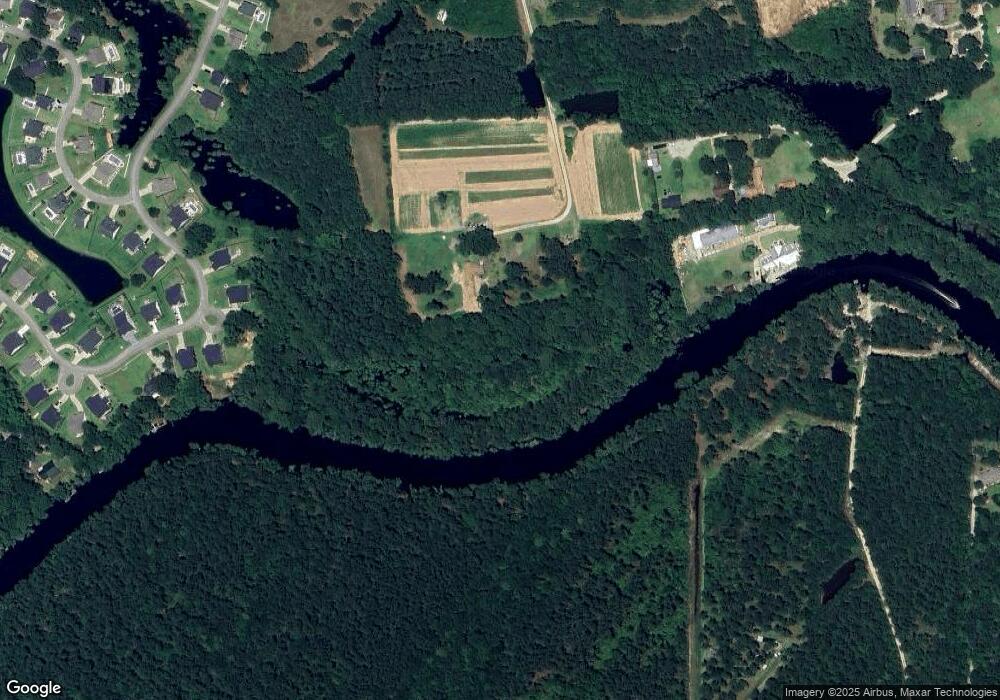
Map
Nearby Homes
- 172 Board Landing Cir
- TBD Hidden River Rd
- 213 Board Landing Cir
- 845 Derbyshire Ct
- 575 Shaftesbury Ln
- 817 Derbyshire Ct
- 207 Putney Ct
- 911 Shaftesbury Ln
- 574 Whiddy Loop
- 104 Lure Ct
- 259 Dunbarton Ln Unit Shaftesbury Greens
- 105 Foxford Dr Unit Lot 27 Venture Plan
- 1005 Cherrystone Loop
- 1001 Cherrystone Loop
- 986 Cherrystone Loop
- 998 Cherrystone Loop
- 190 Bantry Ln
- 166 Bantry Ln
- 250 Bantry Ln
- 234 Bantry Ln
- 0000 Fowler Rd
- 5603 Highway 905
- 5531 Highway 905
- 5600 Highway 905
- 100 Board Landing Cir
- 104 Board Landing Cir Unit The Salem
- 104 Board Landing Cir
- 121 Board Landing Cir Unit The Rushmore w/3rd c
- 121 Board Landing Cir Unit The Mason- with 2 m
- 121 Board Landing Cir
- 108 Board Landing Cir Unit The Biltmore
- 13 Board Landing Rd
- 112 Board Landing Cir Unit THE CHARLESTON
- 112 Board Landing Cir Unit The Oakmont
- 112 Board Landing Cir
- 38 Board Landing Rd
- 125 Board Landing Cir Unit The Washington
- 116 Board Landing Cir Unit The Mason
- 116 Board Landing Cir Unit The Edgemont with 3r
- 116 Board Landing Cir