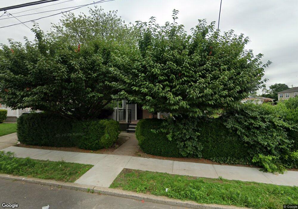
327 Maple Ave Uniondale, NY 11553
Estimated Value: $524,344 - $538,000
2
Beds
1
Bath
692
Sq Ft
$768/Sq Ft
Est. Value
About This Home
This home is located at 327 Maple Ave, Uniondale, NY 11553 and is currently estimated at $531,172, approximately $767 per square foot. 327 Maple Ave is a home located in Nassau County with nearby schools including California Avenue Elementary School, Lawrence Road Middle School, and Uniondale High School.
Ownership History
Date
Name
Owned For
Owner Type
Purchase Details
Closed on
Mar 14, 2024
Sold by
Pacheco Jose A and Gitsit Solutions Llc
Bought by
327 Maple Llc
Current Estimated Value
Home Financials for this Owner
Home Financials are based on the most recent Mortgage that was taken out on this home.
Original Mortgage
$388,500
Interest Rate
6.77%
Mortgage Type
Construction
Purchase Details
Closed on
Nov 25, 2002
Sold by
Pacheco Jose
Purchase Details
Closed on
Dec 29, 2000
Sold by
Perpetuini Domenick
Bought by
Pacheco Jose A
Create a Home Valuation Report for This Property
The Home Valuation Report is an in-depth analysis detailing your home's value as well as a comparison with similar homes in the area
Home Values in the Area
Average Home Value in this Area
Purchase History
| Date | Buyer | Sale Price | Title Company |
|---|---|---|---|
| 327 Maple Llc | $360,000 | Amtrust Title Insurance Co | |
| 327 Maple Llc | $360,000 | Amtrust Title Insurance Co | |
| -- | -- | -- | |
| -- | -- | -- | |
| Pacheco Jose A | $143,100 | James D Schwartz | |
| Pacheco Jose A | $143,100 | James D Schwartz |
Source: Public Records
Mortgage History
| Date | Status | Borrower | Loan Amount |
|---|---|---|---|
| Closed | 327 Maple Llc | $388,500 |
Source: Public Records
Tax History
| Year | Tax Paid | Tax Assessment Tax Assessment Total Assessment is a certain percentage of the fair market value that is determined by local assessors to be the total taxable value of land and additions on the property. | Land | Improvement |
|---|---|---|---|---|
| 2025 | $7,452 | $314 | $148 | $166 |
| 2024 | $2,546 | $314 | $148 | $166 |
| 2023 | $6,719 | $314 | $148 | $166 |
| 2022 | $6,719 | $314 | $148 | $166 |
| 2021 | $9,510 | $299 | $141 | $158 |
| 2020 | $7,543 | $536 | $483 | $53 |
| 2019 | $7,736 | $536 | $483 | $53 |
| 2018 | $7,389 | $536 | $0 | $0 |
| 2017 | $4,259 | $536 | $483 | $53 |
| 2016 | $7,045 | $536 | $483 | $53 |
| 2015 | $2,442 | $536 | $483 | $53 |
| 2014 | $2,442 | $536 | $483 | $53 |
| 2013 | $2,358 | $536 | $483 | $53 |
Source: Public Records
Map
Nearby Homes
Your Personal Tour Guide
Ask me questions while you tour the home.