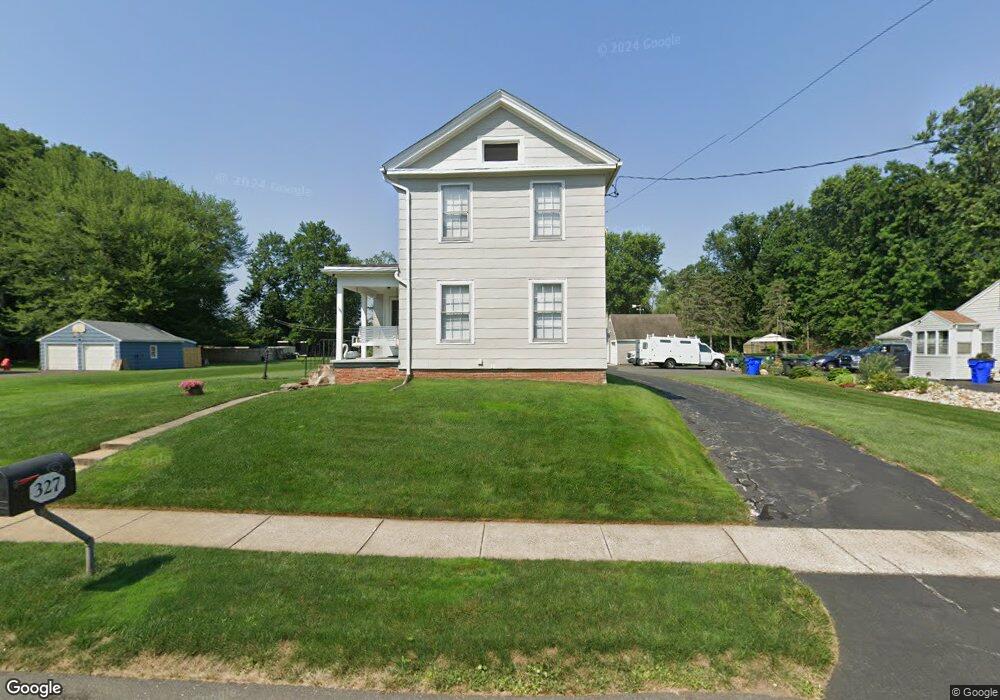
327 Middletown Ave Wethersfield, CT 06109
Estimated Value: $406,095 - $463,000
3
Beds
2
Baths
1,824
Sq Ft
$236/Sq Ft
Est. Value
About This Home
This home is located at 327 Middletown Ave, Wethersfield, CT 06109 and is currently estimated at $430,524, approximately $236 per square foot. 327 Middletown Ave is a home located in Hartford County with nearby schools including Alfred W. Hanmer School, Silas Deane Middle School, and Wethersfield High School.
Ownership History
Date
Name
Owned For
Owner Type
Purchase Details
Closed on
Feb 18, 1999
Sold by
Hungerford Robert H
Bought by
Ohanian James and Bellamo Diane M
Current Estimated Value
Home Financials for this Owner
Home Financials are based on the most recent Mortgage that was taken out on this home.
Original Mortgage
$112,000
Interest Rate
6.75%
Create a Home Valuation Report for This Property
The Home Valuation Report is an in-depth analysis detailing your home's value as well as a comparison with similar homes in the area
Home Values in the Area
Average Home Value in this Area
Purchase History
| Date | Buyer | Sale Price | Title Company |
|---|---|---|---|
| Ohanian James | $140,000 | -- |
Source: Public Records
Mortgage History
| Date | Status | Borrower | Loan Amount |
|---|---|---|---|
| Closed | Ohanian James | $100,447 | |
| Closed | Ohanian James | $112,000 |
Source: Public Records
Tax History
| Year | Tax Paid | Tax Assessment Tax Assessment Total Assessment is a certain percentage of the fair market value that is determined by local assessors to be the total taxable value of land and additions on the property. | Land | Improvement |
|---|---|---|---|---|
| 2025 | $9,522 | $231,000 | $93,380 | $137,620 |
| 2024 | $7,369 | $170,490 | $66,990 | $103,500 |
| 2023 | $7,123 | $170,490 | $66,990 | $103,500 |
| 2022 | $7,004 | $170,490 | $66,990 | $103,500 |
| 2021 | $6,934 | $170,490 | $66,990 | $103,500 |
| 2020 | $6,937 | $170,490 | $66,990 | $103,500 |
| 2019 | $6,946 | $170,490 | $66,990 | $103,500 |
| 2018 | $7,010 | $171,900 | $70,700 | $101,200 |
| 2017 | $6,836 | $171,900 | $70,700 | $101,200 |
| 2016 | $6,625 | $171,900 | $70,700 | $101,200 |
| 2015 | $6,565 | $171,900 | $70,700 | $101,200 |
| 2014 | $6,316 | $171,900 | $70,700 | $101,200 |
Source: Public Records
Map
Nearby Homes
- 195 Middletown Ave
- 119 Coleman Rd
- 108 Chamberlain Rd
- 35 Stillwold Dr
- 38 Wheeler Rd
- 25 Sutton Rd
- 89 Merriman Rd
- 137 Dale Rd
- 91 Somerset St
- 87 Somerset St
- 13 Robbins Ln Unit B
- 72 Concord Dr
- 50 Concord Dr Unit 50
- 1610 Silas Deane Hwy
- 455 Brimfield Rd
- 22 Winesap Cir Unit 22
- 3 Colonial Dr Unit C
- 59 Chapin Ave
- 116 Wells Farm Dr
- 2220 Harbor View Dr
- 321 Middletown Ave
- 341 Middletown Ave
- 313 Middletown Ave Unit 315
- 345 Middletown Ave
- 336 Middletown Ave
- 330 Middletown Ave
- 326 Middletown Ave Unit 328
- 316 Middletown Ave Unit 318
- 342 Middletown Ave
- 309 Middletown Ave
- 318 Middletown Ave
- 355 Middletown Ave
- 320 Middletown Ave Unit 322
- 310 Middletown Ave Unit 312
- 299 Middletown Ave
- 332 Middletown Ave
- 352 Middletown Ave
- 306 Middletown Ave Unit 308
- 336 Middletown Ave Unit 338
- 358 Middletown Ave
Your Personal Tour Guide
Ask me questions while you tour the home.