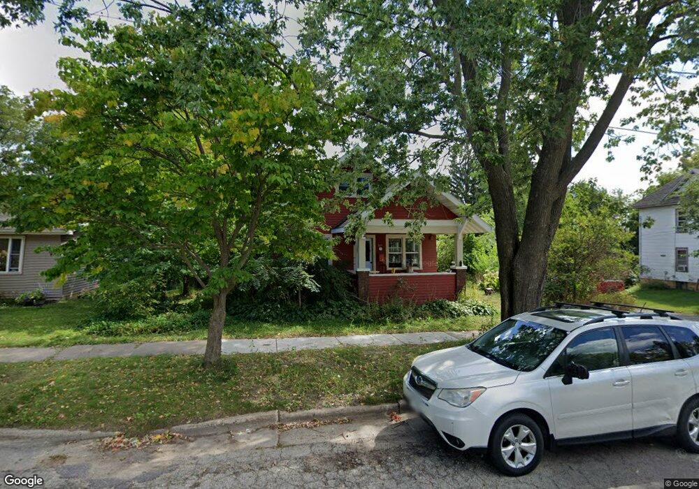
327 N Dunlap Ave Viroqua, WI 54665
Estimated Value: $254,354 - $264,000
--
Bed
--
Bath
--
Sq Ft
8,668
Sq Ft Lot
About This Home
This home is located at 327 N Dunlap Ave, Viroqua, WI 54665 and is currently estimated at $260,339. 327 N Dunlap Ave is a home located in Vernon County with nearby schools including Viroqua Elementary School, Viroqua Middle School, and Viroqua High School.
Ownership History
Date
Name
Owned For
Owner Type
Purchase Details
Closed on
Jul 29, 2020
Sold by
Cavanaugh Laura C
Bought by
Fritz David L and Fritz Jenny L
Current Estimated Value
Purchase Details
Closed on
Aug 6, 2014
Sold by
Goldstein Lewis R
Bought by
Cavanaugh Laura C
Home Financials for this Owner
Home Financials are based on the most recent Mortgage that was taken out on this home.
Original Mortgage
$66,000
Interest Rate
4.15%
Mortgage Type
Future Advance Clause Open End Mortgage
Purchase Details
Closed on
Aug 14, 2012
Sold by
Peterson Jean and Peterson Jean E
Bought by
Goldstein Lewis R
Home Financials for this Owner
Home Financials are based on the most recent Mortgage that was taken out on this home.
Original Mortgage
$72,760
Interest Rate
3.65%
Mortgage Type
Future Advance Clause Open End Mortgage
Create a Home Valuation Report for This Property
The Home Valuation Report is an in-depth analysis detailing your home's value as well as a comparison with similar homes in the area
Home Values in the Area
Average Home Value in this Area
Purchase History
| Date | Buyer | Sale Price | Title Company |
|---|---|---|---|
| Fritz David L | $172,000 | None Available | |
| Cavanaugh Laura C | $146,000 | None Available | |
| Goldstein Lewis R | $75,000 | None Available |
Source: Public Records
Mortgage History
| Date | Status | Borrower | Loan Amount |
|---|---|---|---|
| Previous Owner | Cavanaugh Laura C | $66,000 | |
| Previous Owner | Goldstein Lewis R | $72,760 |
Source: Public Records
Tax History Compared to Growth
Tax History
| Year | Tax Paid | Tax Assessment Tax Assessment Total Assessment is a certain percentage of the fair market value that is determined by local assessors to be the total taxable value of land and additions on the property. | Land | Improvement |
|---|---|---|---|---|
| 2024 | $3,039 | $123,600 | $17,200 | $106,400 |
| 2023 | $2,688 | $123,600 | $17,200 | $106,400 |
| 2022 | $2,986 | $123,600 | $17,200 | $106,400 |
| 2021 | $2,870 | $123,600 | $17,200 | $106,400 |
| 2020 | $2,745 | $123,600 | $17,200 | $106,400 |
| 2019 | $2,563 | $123,600 | $17,200 | $106,400 |
| 2018 | $2,431 | $99,100 | $13,200 | $85,900 |
| 2017 | $2,356 | $99,100 | $13,200 | $85,900 |
| 2016 | $2,279 | $99,100 | $13,200 | $85,900 |
| 2015 | $2,576 | $99,100 | $13,200 | $85,900 |
| 2014 | $1,797 | $76,000 | $13,200 | $62,800 |
| 2013 | $1,841 | $76,000 | $13,200 | $62,800 |
Source: Public Records
Map
Nearby Homes
- 222 W Decker St
- 220 W Broadway St
- 313 N Main St
- 729 N Main St
- 756 N Main St
- 231 S Rusk Ave
- 401 Fairview Dr
- 651 E Decker St
- 000 Abbey Ln
- 125 N Lincoln Ave
- 130 W Maple St
- 720 S Main St
- 727 Garfield Ave
- 208 Circle Dr S
- 115 Crestline St
- 912 Silverthorne Dr
- 914 Silverthorne Dr
- 1 Sandy Oak Dr
- S5117 County Road Nn
- 807 S Main St
- 413 N Dunlap Ave
- 411 N Dunlap Ave
- 321 N Dunlap Ave
- 322 N Dunlap Ave
- 402 N Rock Ave
- 412 N Rock Ave
- 322 N Rock Ave
- 315 N Dunlap Ave
- 410 N Dunlap Ave
- 412 N Dunlap Ave
- 322 Independence St
- 416 N Rock Ave
- 305 N Dunlap Ave
- 306 N Dunlap Ave
- 314 N Rock Ave
- 335 Minshall Ave
- 330 Minshall Ave
- 303 N Dunlap Ave
- 316 Independence St
- 321 Minshall Ave