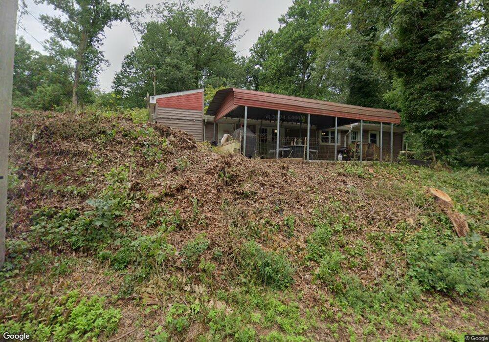
327 Tomlin Station Rd Mullica Hill, NJ 08062
Estimated Value: $403,572 - $435,000
2
Beds
2
Baths
1,796
Sq Ft
$232/Sq Ft
Est. Value
About This Home
This home is located at 327 Tomlin Station Rd, Mullica Hill, NJ 08062 and is currently estimated at $417,143, approximately $232 per square foot. 327 Tomlin Station Rd is a home located in Gloucester County with nearby schools including Harrison Township Elementary School, Pleasant Valley School, and Clearview Regional Middle School.
Ownership History
Date
Name
Owned For
Owner Type
Purchase Details
Closed on
Feb 24, 2023
Sold by
Justin Linda
Bought by
Clouser Sandra and Hage Jessica
Current Estimated Value
Home Financials for this Owner
Home Financials are based on the most recent Mortgage that was taken out on this home.
Original Mortgage
$256,500
Interest Rate
6.42%
Mortgage Type
New Conventional
Purchase Details
Closed on
May 18, 2021
Sold by
Justin Linda and Yohe Charles C
Bought by
Justin Linda
Purchase Details
Closed on
Oct 23, 2017
Sold by
Justin Linda and Yohe Charles C
Bought by
Justin Linda
Purchase Details
Closed on
May 17, 2014
Sold by
Justin Linda
Bought by
Justin Linda and Yohe Charles C
Purchase Details
Closed on
Aug 24, 1998
Sold by
Robbins Linda and Robbins John K
Bought by
Justin Linda
Create a Home Valuation Report for This Property
The Home Valuation Report is an in-depth analysis detailing your home's value as well as a comparison with similar homes in the area
Home Values in the Area
Average Home Value in this Area
Purchase History
| Date | Buyer | Sale Price | Title Company |
|---|---|---|---|
| Clouser Sandra | $285,000 | Trident Land Transfer | |
| Justin Linda | -- | None Available | |
| Justin Linda | -- | None Available | |
| Justin Linda | -- | -- | |
| Justin Linda | -- | -- |
Source: Public Records
Mortgage History
| Date | Status | Borrower | Loan Amount |
|---|---|---|---|
| Previous Owner | Clouser Sandra | $256,500 |
Source: Public Records
Tax History Compared to Growth
Tax History
| Year | Tax Paid | Tax Assessment Tax Assessment Total Assessment is a certain percentage of the fair market value that is determined by local assessors to be the total taxable value of land and additions on the property. | Land | Improvement |
|---|---|---|---|---|
| 2025 | $7,379 | $220,400 | $71,500 | $148,900 |
| 2024 | $7,132 | $220,400 | $71,500 | $148,900 |
| 2023 | $7,132 | $220,400 | $71,500 | $148,900 |
| 2022 | $7,062 | $220,400 | $71,500 | $148,900 |
| 2021 | $4,425 | $151,700 | $71,500 | $80,200 |
| 2020 | $4,657 | $151,700 | $71,500 | $80,200 |
| 2019 | $4,518 | $151,700 | $71,500 | $80,200 |
| 2018 | $4,393 | $151,700 | $71,500 | $80,200 |
| 2017 | $4,286 | $151,700 | $71,500 | $80,200 |
| 2016 | $4,186 | $140,000 | $71,500 | $68,500 |
| 2015 | $4,067 | $140,000 | $71,500 | $68,500 |
| 2014 | $3,902 | $140,000 | $71,500 | $68,500 |
Source: Public Records
Map
Nearby Homes
- 185 Woodland Ave
- 19 Valley Ln
- 465 Tomlin Station Rd
- 138 High St
- 510 Franklinville Rd
- 490 Franklinville Rd
- 128 Preakness Dr
- 490 Franklinville Rd
- 22 Orchard Dr
- 220 Hickory Ln
- 65 Redkist Dr
- 124 Harbelle Way
- 67 Redkist Dr
- 59 Redkist Dr
- 69 Redkist Dr
- 57 Redkist Dr
- 55 Redkist Dr
- 83 Redkist Dr
- 71 Redkist Dr
- 53 Redkist Dr
- 327 Tomlin Station Rd
- 331 Tomlin Station Rd
- 327 and 331 Tomlin Station Rd
- 327 & 331 Tomlin Station Rd
- 321 Tomlin Station Rd
- 320 Tomlin Station Rd
- 334 Tomlin Station Rd
- 316 Tomlin Station Rd
- 336 Tomlin Station Rd
- 338 Tomlin Station Rd
- 200 High St
- 208 High St
- 229 High St
- 235 High St
- 0 Tomlin Station Rd Unit 6570251
- 411 Tomlin Station Rd
- 239 High St
- 0 Tomlin Station Rd
- 187 Woodland Ave
- 216 Woodland Ave