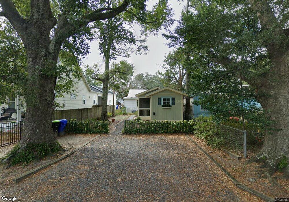
327 W College Ave Southport, NC 28461
Estimated Value: $402,689
--
Bed
--
Bath
3,825
Sq Ft
$105/Sq Ft
Est. Value
About This Home
This home is located at 327 W College Ave, Southport, NC 28461 and is currently estimated at $402,689, approximately $105 per square foot. 327 W College Ave is a home located in Cleveland County with nearby schools including Boiling Springs Elementary School, Crest Middle School, and Crest High School.
Ownership History
Date
Name
Owned For
Owner Type
Purchase Details
Closed on
May 6, 2020
Sold by
Hometrust Bancshares Inc
Bought by
4A Properties Llc
Current Estimated Value
Purchase Details
Closed on
Sep 21, 2015
Sold by
Atlantic Carolinas Capital Llc
Bought by
Hometrust Bank Na and Hometrust Bank
Create a Home Valuation Report for This Property
The Home Valuation Report is an in-depth analysis detailing your home's value as well as a comparison with similar homes in the area
Home Values in the Area
Average Home Value in this Area
Purchase History
| Date | Buyer | Sale Price | Title Company |
|---|---|---|---|
| 4A Properties Llc | $245,000 | None Available | |
| Home Trust Bancshares Inc | -- | None Available | |
| Hometrust Bank Na | $1,055,000 | None Available |
Source: Public Records
Tax History Compared to Growth
Tax History
| Year | Tax Paid | Tax Assessment Tax Assessment Total Assessment is a certain percentage of the fair market value that is determined by local assessors to be the total taxable value of land and additions on the property. | Land | Improvement |
|---|---|---|---|---|
| 2025 | $4,511 | $509,728 | $152,758 | $356,970 |
| 2024 | $5,106 | $469,543 | $122,773 | $346,770 |
| 2023 | $4,965 | $469,543 | $122,773 | $346,770 |
| 2022 | $4,941 | $469,543 | $122,773 | $346,770 |
| 2021 | $4,965 | $469,543 | $122,773 | $346,770 |
| 2020 | $4,800 | $432,471 | $122,773 | $309,698 |
| 2019 | $4,800 | $432,471 | $122,773 | $309,698 |
| 2018 | $4,757 | $432,471 | $122,773 | $309,698 |
| 2017 | $4,690 | $432,471 | $122,773 | $309,698 |
| 2016 | $4,541 | $432,471 | $122,773 | $309,698 |
| 2015 | $4,183 | $402,184 | $81,273 | $320,911 |
| 2014 | $4,183 | $402,184 | $81,273 | $320,911 |
Source: Public Records
Map
Nearby Homes
- 0 W College Ave
- 339 W College Ave
- 300 Hidden Creek Dr
- 129 Creekside Dr
- 230 Poston Cir
- 2918 Lon St
- 109 Landon Ct
- 00 N Main St
- 116 Fairview St
- 00 Rockford Rd
- 322 S Main St
- 245 E College Ave
- 125 Woodhill Dr
- 301 Oak Ave
- 231 Pineland Ave Unit 1
- 125 Flint Hill Church Rd
- 00 Cliffside Rd
- 1622 Patrick Ave
- 133 Brookview Dr
- 1815 Gaffney Rd
- 327 W College Ave
- 200 Keystone Dr Unit A
- 200 Keystone Dr
- 115 Creekside Dr Unit B
- 115 Creekside Dr
- 115 Creekside Dr Unit A
- 202 Keystone Dr Unit C
- 202 Keystone Dr Unit D
- 322 W College Ave
- 0 Keystone Dr Unit 61752
- 0 Keystone Dr
- 0 Pinecrest Ave Unit 790087
- 204 Keystone Dr
- 117 Creekside Dr Unit D
- 316 318 Pinecrest St S
- 206 Keystone Dr
- 201 Keystone Dr
- 203 Keystone Dr
- 205 Keystone Dr
- 000 Keystone Dr