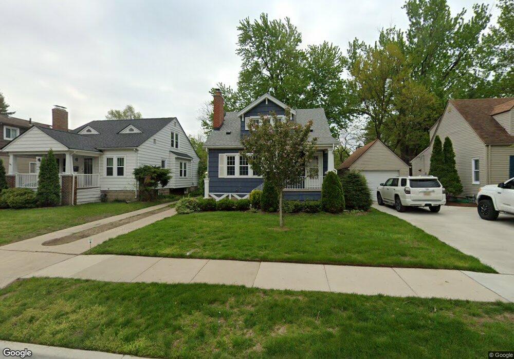
327 Waverley Ave Unit Bldg-Unit Royal Oak, MI 48067
Estimated Value: $341,000 - $385,899
4
Beds
2
Baths
1,239
Sq Ft
$297/Sq Ft
Est. Value
About This Home
This home is located at 327 Waverley Ave Unit Bldg-Unit, Royal Oak, MI 48067 and is currently estimated at $367,975, approximately $296 per square foot. 327 Waverley Ave Unit Bldg-Unit is a home located in Oakland County with nearby schools including Northwood Elementary School, Royal Oak Middle School, and Royal Oak High School.
Ownership History
Date
Name
Owned For
Owner Type
Purchase Details
Closed on
Jul 19, 2018
Sold by
Mills John W and Kappes Jeanne
Bought by
Marmo Anthony
Current Estimated Value
Home Financials for this Owner
Home Financials are based on the most recent Mortgage that was taken out on this home.
Original Mortgage
$206,800
Outstanding Balance
$179,619
Interest Rate
4.6%
Mortgage Type
New Conventional
Estimated Equity
$188,356
Purchase Details
Closed on
Jun 15, 2010
Sold by
Mills Dorothy J and Mills John William
Bought by
Mills Dorothy J and Dorothy J Mills Trust
Create a Home Valuation Report for This Property
The Home Valuation Report is an in-depth analysis detailing your home's value as well as a comparison with similar homes in the area
Home Values in the Area
Average Home Value in this Area
Purchase History
| Date | Buyer | Sale Price | Title Company |
|---|---|---|---|
| Marmo Anthony | $258,500 | Shield Title Agency Inc | |
| Mills Dorothy J | -- | None Available |
Source: Public Records
Mortgage History
| Date | Status | Borrower | Loan Amount |
|---|---|---|---|
| Open | Marmo Anthony | $206,800 |
Source: Public Records
Tax History Compared to Growth
Tax History
| Year | Tax Paid | Tax Assessment Tax Assessment Total Assessment is a certain percentage of the fair market value that is determined by local assessors to be the total taxable value of land and additions on the property. | Land | Improvement |
|---|---|---|---|---|
| 2024 | $3,769 | $144,090 | $0 | $0 |
| 2022 | $4,454 | $131,170 | $0 | $0 |
| 2020 | $3,663 | $113,300 | $0 | $0 |
| 2018 | $4,454 | $92,620 | $0 | $0 |
| 2017 | $2,587 | $92,620 | $0 | $0 |
| 2015 | -- | $79,430 | $0 | $0 |
| 2014 | -- | $73,140 | $0 | $0 |
| 2011 | -- | $67,550 | $0 | $0 |
Source: Public Records
Map
Nearby Homes
- 122 Euclid Ave
- 1821 N Washington Ave
- 1828 N Lafayette Ave
- 1833 N Washington Ave
- 719 W 12 Mile Rd
- 1028 Edgewood Dr
- 320 Catalpa Dr
- 227 W Houstonia Ave
- 307 Marlin Ave
- 606 Catalpa Dr
- 912 Woodsboro Dr
- 127 La Plaza Ct
- 508 W Houstonia Ave
- 334 Marlin Ave
- 2115 Marywood Dr
- 410 Crane Ave
- 512 Marlin Ave
- 528 Marlin Ave
- 817 Magnolia Ave
- 3316 Vinsetta Blvd
- 327 Waverley Ave
- 407 Waverley Ave
- 323 Waverley Ave
- 1616 Crooks Rd
- 1622 Crooks Rd
- 319 Waverley Ave
- 1610 Crooks Rd
- 1604 Crooks Rd
- 1528 Crooks Rd
- 406 Waverley Ave
- 326 Waverley Ave
- 322 Waverley Ave
- 1628 Crooks Rd
- 1629 N Washington Ave
- 1615 N Washington Ave
- 318 Waverley Ave
- 314 Waverley Ave
- 1634 Crooks Rd
- 1619 N Washington Ave
- 410 Waverley Ave