3270 Totem Trail Reading, MI 49274
Estimated Value: $321,561 - $416,000
--
Bed
--
Bath
1,248
Sq Ft
$283/Sq Ft
Est. Value
About This Home
This home is located at 3270 Totem Trail, Reading, MI 49274 and is currently estimated at $353,640, approximately $283 per square foot. 3270 Totem Trail is a home with nearby schools including Reynolds Elementary School and Reading High School.
Ownership History
Date
Name
Owned For
Owner Type
Purchase Details
Closed on
Nov 24, 2015
Sold by
Martin Robert M and Martin Catherine A
Bought by
Martin Catherine A and The Catherine A Martin Living Trust
Current Estimated Value
Home Financials for this Owner
Home Financials are based on the most recent Mortgage that was taken out on this home.
Original Mortgage
$86,000
Outstanding Balance
$67,849
Interest Rate
3.88%
Mortgage Type
New Conventional
Estimated Equity
$285,791
Purchase Details
Closed on
Apr 30, 1999
Sold by
Davis Norbert W
Bought by
Martin Robert M and Martin Catherine A
Create a Home Valuation Report for This Property
The Home Valuation Report is an in-depth analysis detailing your home's value as well as a comparison with similar homes in the area
Home Values in the Area
Average Home Value in this Area
Purchase History
| Date | Buyer | Sale Price | Title Company |
|---|---|---|---|
| Martin Catherine A | -- | Louisville Title Agency Nw O | |
| Martin Robert M | $40,000 | -- |
Source: Public Records
Mortgage History
| Date | Status | Borrower | Loan Amount |
|---|---|---|---|
| Open | Martin Catherine A | $86,000 |
Source: Public Records
Tax History Compared to Growth
Tax History
| Year | Tax Paid | Tax Assessment Tax Assessment Total Assessment is a certain percentage of the fair market value that is determined by local assessors to be the total taxable value of land and additions on the property. | Land | Improvement |
|---|---|---|---|---|
| 2025 | $4,625 | $152,000 | $0 | $0 |
| 2024 | $1,140 | $150,900 | $0 | $0 |
| 2023 | $1,086 | $144,500 | $0 | $0 |
| 2022 | $4,130 | $119,500 | $0 | $0 |
| 2021 | $4,020 | $114,900 | $0 | $0 |
| 2020 | $4,001 | $113,400 | $0 | $0 |
| 2019 | $3,895 | $98,500 | $0 | $0 |
| 2018 | $3,745 | $88,400 | $0 | $0 |
| 2017 | $3,653 | $87,300 | $0 | $0 |
| 2016 | $3,619 | $86,700 | $0 | $0 |
| 2015 | $914 | $86,700 | $0 | $0 |
| 2013 | $886 | $83,470 | $0 | $0 |
| 2012 | $865 | $82,240 | $0 | $0 |
Source: Public Records
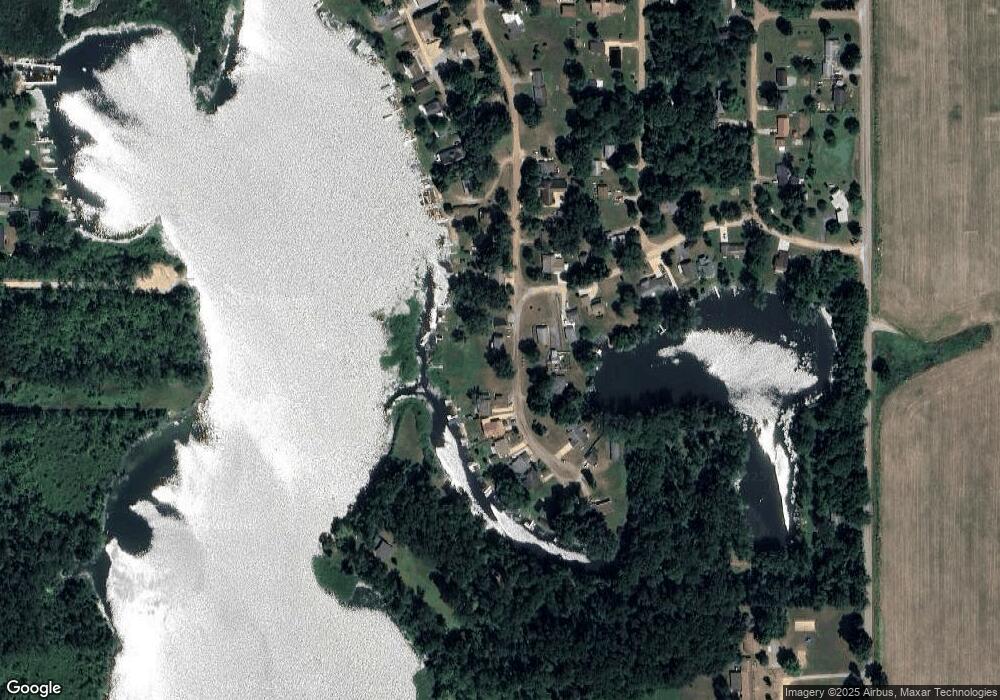
Map
Nearby Homes
- 3870 Rus Dic Dr
- 2408 Spruce Dr
- 4111 Blair Rd
- 2251 Hemlock Rd
- 5211 Long Lake Rd
- 1631 Pierce Rd
- 9180 Arkansaw Rd
- 5160 Quackenbush Rd
- 490 Kelley Rd
- 238 Maple Rd
- 0 W Silver St Unit 25044322
- 203 E Michigan St
- 309 S Main St
- 108 Lynn St
- 2520 S Sand Lake Rd
- 6331 Bacon Rd
- 0 Wildwood Rd
- 2201 S Sand Lake Rd
- 7841 Topinabee Dr
- 4427 Carpenter Rd
- 3260 Totem Trail
- 3250 Totem Trail
- 3300 Totem Trail
- 3197 Chief St
- 3251 Totem Trail
- 3265 Totem Trail
- 3310 Totem Trail
- 3320 Totem Trail
- 3291 Totem Trail
- 9147 Chief Dr
- 3216 Totem Trail
- 3221 Totem Trail
- 9291 Chief Dr
- 9291 Chief Dr
- 3330 Totem Trail
- 3202 Totem Trail
- 3317 Totem Trail
- 3209 Totem Trail
- 3040 Totem Trail
- 31493161 Totem Trail