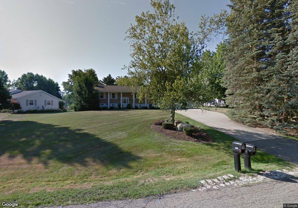
3270 Townsend St NW Uniontown, OH 44685
Estimated Value: $348,000 - $422,000
5
Beds
4
Baths
2,300
Sq Ft
$163/Sq Ft
Est. Value
About This Home
This home is located at 3270 Townsend St NW, Uniontown, OH 44685 and is currently estimated at $374,818, approximately $162 per square foot. 3270 Townsend St NW is a home located in Stark County with nearby schools including Lake Middle/High School, Lake Center Christian School, and Mayfair Christian School.
Ownership History
Date
Name
Owned For
Owner Type
Purchase Details
Closed on
Feb 26, 2004
Sold by
Bailey Derrick T and Bailey Shelley J
Bought by
Harkless Ronald C and Harkless Deborah L
Current Estimated Value
Home Financials for this Owner
Home Financials are based on the most recent Mortgage that was taken out on this home.
Original Mortgage
$75,000
Interest Rate
5.74%
Mortgage Type
Purchase Money Mortgage
Purchase Details
Closed on
May 26, 2000
Sold by
Evans James L and Evans Jill C
Bought by
Bailey Derrick T and Bailey Shelley J
Home Financials for this Owner
Home Financials are based on the most recent Mortgage that was taken out on this home.
Original Mortgage
$124,100
Interest Rate
6.99%
Mortgage Type
Purchase Money Mortgage
Purchase Details
Closed on
Jan 19, 1989
Create a Home Valuation Report for This Property
The Home Valuation Report is an in-depth analysis detailing your home's value as well as a comparison with similar homes in the area
Home Values in the Area
Average Home Value in this Area
Purchase History
| Date | Buyer | Sale Price | Title Company |
|---|---|---|---|
| Harkless Ronald C | $204,000 | -- | |
| Bailey Derrick T | $146,000 | -- | |
| -- | $81,700 | -- |
Source: Public Records
Mortgage History
| Date | Status | Borrower | Loan Amount |
|---|---|---|---|
| Closed | Harkless Ronald C | $75,000 | |
| Previous Owner | Bailey Derrick T | $124,100 |
Source: Public Records
Tax History Compared to Growth
Tax History
| Year | Tax Paid | Tax Assessment Tax Assessment Total Assessment is a certain percentage of the fair market value that is determined by local assessors to be the total taxable value of land and additions on the property. | Land | Improvement |
|---|---|---|---|---|
| 2025 | -- | $112,530 | $24,640 | $87,890 |
| 2024 | -- | $112,530 | $24,640 | $87,890 |
| 2023 | $3,879 | $76,060 | $14,670 | $61,390 |
| 2022 | $3,893 | $76,060 | $14,670 | $61,390 |
| 2021 | $3,934 | $76,060 | $14,670 | $61,390 |
| 2020 | $3,749 | $64,760 | $12,640 | $52,120 |
| 2019 | $3,719 | $69,630 | $12,640 | $56,990 |
| 2018 | $4,003 | $69,630 | $12,640 | $56,990 |
| 2017 | $4,012 | $64,550 | $11,270 | $53,280 |
| 2016 | $4,019 | $64,550 | $11,270 | $53,280 |
| 2015 | $4,396 | $64,550 | $11,270 | $53,280 |
| 2014 | $1,784 | $56,250 | $9,840 | $46,410 |
| 2013 | $1,892 | $56,250 | $9,840 | $46,410 |
Source: Public Records
Map
Nearby Homes
- 3648 Mulberry St NW
- 11316 Cleveland Ave NW
- 0 Heckman St NW Unit 5170772
- 2601 Lake Center St NW
- 3863 Heckman St NW
- 12235 Cantburg Ave NW
- 3851 Cromford Cir NW
- 11056 Peach Glen Ave NW
- 11065 Dunsby Ave NW
- 843 Brodie Ct
- 835 Brodie Ct
- 12494 Bridgemont Ave NW
- 10531 Newbury Ave NW
- 3048 Wright Rd NW
- 2693 Ledgestone Dr NW
- 3026 Wright Rd NW
- 12855 Redwood Ave NW
- 2490 Ledgestone Dr NW
- 2335 Ledgestone Dr NW
- 2273 Ledgestone Dr NW
- 3236 Townsend St NW
- 3301 Hampton St NW
- 3287 Hampton St NW
- 11645 Whitehall Ave NW
- 3285 Townsend St NW
- 3277 Hampton St NW
- 3273 Townsend St NW
- 3259 Townsend St NW
- 11625 Whitehall Ave NW
- 3235 Townsend St NW
- 11646 Whitehall Ave NW
- 3301 Townsend St NW
- 11670 Whitehall Ave NW
- 3317 Townsend St NW
- 3201 Townsend St NW
- 3269 Hampton St NW
- 3320 Townsend St NW
- 11611 Whitehall Ave NW
- 3284 Hampton St NW
- 11616 Whitehall Ave NW