Estimated Value: $130,000 - $306,000
2
Beds
1
Bath
1,380
Sq Ft
$140/Sq Ft
Est. Value
About This Home
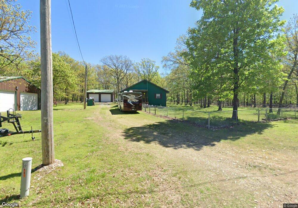
This home is located at 32700 S 571 Rd, Jay, OK 74346 and is currently estimated at $192,621, approximately $139 per square foot. 32700 S 571 Rd is a home located in Delaware County with nearby schools including Grove Lower Elementary School, Grove Upper Elementary School, and Grove Middle School.
Ownership History
Date
Name
Owned For
Owner Type
Purchase Details
Closed on
Jul 1, 2020
Sold by
Cooper Adam
Bought by
Ryder Sherald L and Ryder Pamela J
Current Estimated Value
Home Financials for this Owner
Home Financials are based on the most recent Mortgage that was taken out on this home.
Original Mortgage
$74,373
Outstanding Balance
$65,926
Interest Rate
3.2%
Mortgage Type
New Conventional
Estimated Equity
$126,695
Purchase Details
Closed on
Nov 15, 2017
Sold by
Gordineer Wilson and Gordineer Glenda
Bought by
Cooper Adam
Purchase Details
Closed on
Apr 28, 2008
Sold by
Rollow H Alan and Rollow Lotti Lee
Bought by
Gordineer Wilson and Gordineer Glenda
Purchase Details
Closed on
Aug 26, 1999
Sold by
Lotti Rollow H and Lotti Lee
Create a Home Valuation Report for This Property
The Home Valuation Report is an in-depth analysis detailing your home's value as well as a comparison with similar homes in the area
Purchase History
| Date | Buyer | Sale Price | Title Company |
|---|---|---|---|
| Ryder Sherald L | $95,000 | None Available | |
| Cooper Adam | $60,000 | Grand River Abstract & Title | |
| Gordineer Wilson | $63,000 | -- | |
| -- | -- | -- |
Source: Public Records
Mortgage History
| Date | Status | Borrower | Loan Amount |
|---|---|---|---|
| Open | Ryder Sherald L | $74,373 |
Source: Public Records
Tax History
| Year | Tax Paid | Tax Assessment Tax Assessment Total Assessment is a certain percentage of the fair market value that is determined by local assessors to be the total taxable value of land and additions on the property. | Land | Improvement |
|---|---|---|---|---|
| 2025 | $975 | $12,045 | $1,482 | $10,563 |
| 2024 | $929 | $11,472 | $1,411 | $10,061 |
| 2023 | $929 | $10,926 | $863 | $10,063 |
| 2022 | $912 | $10,926 | $863 | $10,063 |
| 2021 | $910 | $10,926 | $863 | $10,063 |
| 2020 | $808 | $10,539 | $863 | $9,676 |
| 2019 | $803 | $10,444 | $863 | $9,581 |
| 2018 | $586 | $6,901 | $863 | $6,038 |
| 2017 | $836 | $10,310 | $804 | $9,506 |
| 2016 | $711 | $9,633 | $779 | $8,854 |
| 2015 | $697 | $9,080 | $748 | $8,332 |
| 2014 | $701 | $9,080 | $748 | $8,332 |
Source: Public Records
Map
Nearby Homes
- Lot 29 Block 14 (Piney Woods)s 576
- Lot 11 Block 2 (Piney Woods) E 330 Rd
- Lot 3 Block 6 (Piney Woods) E 330 Rd
- Lot 15 Block 2 (Piney Woods) E 330 Rd
- Lot 13 Block 6 (Piney Woods) E 330 Rd
- Lot 14 Rd
- Lot 4 Block 6 (Piney Woods) E 330 Rd
- Lot 5 Block 6 (Piney Woods) E 330 Rd
- Lot 6 Block 6 (Piney Woods) E 330 Rd
- TBD E 330 Rd
- Lot 26 Block 14 (Piney Woods)s 576 Rd
- Lot 4 Rd
- Lot 15 Block 6 (Piney Woods) E 330 Rd
- Lot 5 Block 7 (Piney Woods) E 330 Rd
- Lot 16 Block 6 (Piney Woods)e 330 Rd
- 57601 E 330 Rd
- Lot 7 Block 7 (Piney Woods) E 330 Rd
- 53482 E 332 Loop
- 32800 S 571 Rd
- 32949 S 370 Rd
- 32700 S 570 Rd
- 32790 S 572 Rd
- No 911 S 572 Rd
- 32796 S 572 Rd
- 0 S 572 Rd Unit 18-636
- 0 S 572 Rd Unit 19-280
- 0 S 572 Rd Unit 1103752
- S S 572 Rd
- 32700 S 572 Rd
- 32961 S 571 Rd
- 32798 S 572 Rd
- 32501 S 571 Rd
- 32950 S 570 Rd
- 32955 S 570 Rd
- 33061 S 572 Ln
- 0 S 571 Rd Unit 17-1320
- 0 S 571 Rd Unit 8-1822
- 0 S 571 Rd Unit 7-3389
Your Personal Tour Guide
Ask me questions while you tour the home.