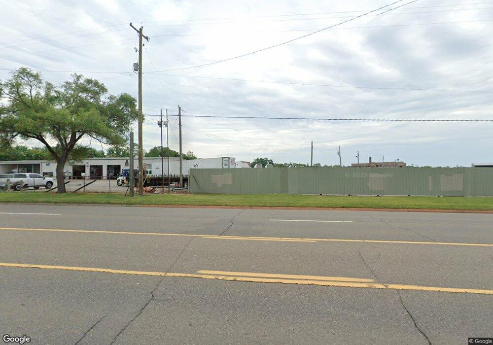
3271 N Dort Hwy Flint, MI 48506
Eastside NeighborhoodEstimated Value: $230,360
--
Bed
--
Bath
3,600
Sq Ft
$64/Sq Ft
Est. Value
About This Home
This home is located at 3271 N Dort Hwy, Flint, MI 48506 and is currently estimated at $230,360, approximately $63 per square foot. 3271 N Dort Hwy is a home located in Genesee County with nearby schools including Brownell STEM Academy, Richfield Public School Academy, and Richfield Early Learning Center.
Ownership History
Date
Name
Owned For
Owner Type
Purchase Details
Closed on
Aug 12, 2016
Sold by
Vash Investment Group Llc
Bought by
3271 Dort Hwy Llc
Current Estimated Value
Purchase Details
Closed on
May 23, 2016
Sold by
Crank Ronald J and Crank Irene E
Bought by
Crank Ronald J and Ronald J Crank Sr Living Trust
Purchase Details
Closed on
Dec 1, 2015
Sold by
Corner Land Trust
Bought by
Vash Investynent Group Llc
Purchase Details
Closed on
Sep 21, 2009
Sold by
Bc Real Estate
Bought by
Vash Investments
Create a Home Valuation Report for This Property
The Home Valuation Report is an in-depth analysis detailing your home's value as well as a comparison with similar homes in the area
Home Values in the Area
Average Home Value in this Area
Purchase History
| Date | Buyer | Sale Price | Title Company |
|---|---|---|---|
| 3271 Dort Hwy Llc | $130,000 | Cislo Title Co | |
| Vash Investment Group Llc | $150,000 | Cislo Title Co | |
| Crank Ronald J | -- | Cislo Title Co | |
| Vash Investynent Group Llc | -- | Cislo Title Co | |
| Vash Investments | -- | None Available |
Source: Public Records
Tax History Compared to Growth
Tax History
| Year | Tax Paid | Tax Assessment Tax Assessment Total Assessment is a certain percentage of the fair market value that is determined by local assessors to be the total taxable value of land and additions on the property. | Land | Improvement |
|---|---|---|---|---|
| 2025 | $4,479 | $72,700 | $0 | $0 |
| 2024 | $3,057 | $72,700 | $0 | $0 |
| 2023 | $3,061 | $72,700 | $0 | $0 |
| 2022 | $2,705 | $72,700 | $0 | $0 |
| 2021 | $1,325 | $72,800 | $0 | $0 |
| 2020 | $3,235 | $72,800 | $0 | $0 |
| 2019 | $6,171 | $72,800 | $0 | $0 |
| 2018 | $4,419 | $72,800 | $0 | $0 |
| 2017 | $4,679 | $72,800 | $0 | $0 |
| 2016 | $3,699 | $90,800 | $0 | $0 |
| 2015 | $5,207 | $0 | $0 | $0 |
| 2012 | -- | $86,100 | $86,100 | $0 |
Source: Public Records
Map
Nearby Homes
- 2435 Oklahoma Ave
- 2310 Thom St
- 2719 Branch Rd
- 3121 Thom St
- 3912 Western Rd
- 2506 Arlington Ave
- 1805 Montana Ave
- 1733 Oklahoma Ave
- 3702 Branch Rd
- 2211 Torrance St
- 3116 Beechwood Ave
- 3218 Colorado Ave
- 2935 Richfield Rd
- 2225 Arlington Ave
- 1721 New York Ave
- 3226 Mcclure Ave
- 1623 Montana Ave
- 1814 Mabel Ave
- 1629 New York Ave
- 3149 Whittier Ave