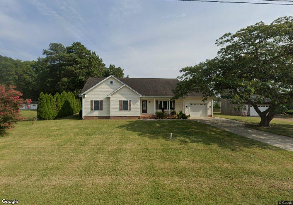
32726 Melson Rd Delmar, MD 21875
North Salisbury NeighborhoodEstimated Value: $327,000 - $402,000
Studio
3
Baths
2,535
Sq Ft
$146/Sq Ft
Est. Value
About This Home
This home is located at 32726 Melson Rd, Delmar, MD 21875 and is currently estimated at $370,992, approximately $146 per square foot. 32726 Melson Rd is a home located in Wicomico County with nearby schools including Delmar Elementary School, Wicomico Middle School, and Wicomico High School.
Ownership History
Date
Name
Owned For
Owner Type
Purchase Details
Closed on
Mar 13, 1996
Sold by
Mast James M
Bought by
Mast Timothy
Current Estimated Value
Purchase Details
Closed on
Dec 23, 1993
Sold by
Bear Diana H and Bear David R
Bought by
Mast James M and Mast Ruby C
Home Financials for this Owner
Home Financials are based on the most recent Mortgage that was taken out on this home.
Original Mortgage
$28,000
Interest Rate
7.17%
Create a Home Valuation Report for This Property
The Home Valuation Report is an in-depth analysis detailing your home's value as well as a comparison with similar homes in the area
Home Values in the Area
Average Home Value in this Area
Purchase History
| Date | Buyer | Sale Price | Title Company |
|---|---|---|---|
| Mast Timothy | $37,500 | -- | |
| Mast James M | $35,000 | -- |
Source: Public Records
Mortgage History
| Date | Status | Borrower | Loan Amount |
|---|---|---|---|
| Previous Owner | Mast James M | $28,000 |
Source: Public Records
Tax History
| Year | Tax Paid | Tax Assessment Tax Assessment Total Assessment is a certain percentage of the fair market value that is determined by local assessors to be the total taxable value of land and additions on the property. | Land | Improvement |
|---|---|---|---|---|
| 2025 | $2,825 | $302,600 | $45,100 | $257,500 |
| 2024 | $2,762 | $281,800 | $0 | $0 |
| 2023 | $2,603 | $261,000 | $0 | $0 |
| 2022 | $2,448 | $240,200 | $35,100 | $205,100 |
| 2021 | $2,419 | $230,733 | $0 | $0 |
| 2020 | $2,342 | $221,267 | $0 | $0 |
| 2019 | $2,217 | $211,800 | $25,100 | $186,700 |
| 2018 | $2,271 | $211,000 | $0 | $0 |
| 2017 | $2,287 | $210,200 | $0 | $0 |
| 2016 | -- | $209,400 | $0 | $0 |
| 2015 | $1,768 | $205,933 | $0 | $0 |
| 2014 | $1,768 | $202,467 | $0 | $0 |
Source: Public Records
Map
Nearby Homes
- 9509 Rum Ridge Rd
- 0 Bob Smith Rd Unit MDWC2020168
- 0 Bob Smith Rd Unit MDWC2020170
- 16445 Whitesville Rd
- 0 Line Church Rd Unit DESU2105560
- 0 Melson Rd
- 38332 Whaleys Rd
- 14018 Oak Branch Rd
- 18981 Kenney Rd
- 9385, 9414 Stable Ln
- 7570 Esham Rd
- 7837 Pristine Place
- 38545 Winterberry Dr
- 38540 Winterberry Dr
- 38526 Winterberry Dr
- 32934 Division St
- Lot 8A Song Sparrow Cir
- Lot 9A Song Sparrow Cir
- 32951 Old Ocean City Rd
- 7814 Broadleaf Dr
- 32726 Melson Rd
- 32704 Melson Rd
- 32705 Melson Rd
- 32695 Melson Rd
- 32673 Melson Rd
- 32770 Roy West Rd
- 9078 Parsonsburg Rd
- 9144 Melson Church Rd
- 9154 Melson Church Rd
- 32796 Roy West Rd
- 9045 Parsonsburg Rd
- 9045 Parsonsburg Rd
- 32791 Roy West Rd
- 9031 Parsonsburg Rd
- 32819 Melson Rd
- 9017 Parsonsburg Rd
- 9020 Parsonsburg Rd
- 9228 Melson Church Rd
- 32845 Melson Rd
- 32594 Melson Rd
Your Personal Tour Guide
Ask me questions while you tour the home.