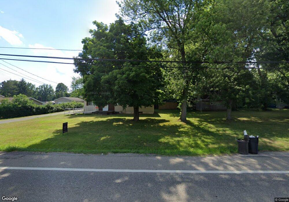
3273 State Route 43 Mogadore, OH 44260
Estimated Value: $174,000 - $257,000
3
Beds
1
Bath
1,608
Sq Ft
$137/Sq Ft
Est. Value
About This Home
This home is located at 3273 State Route 43, Mogadore, OH 44260 and is currently estimated at $219,633, approximately $136 per square foot. 3273 State Route 43 is a home located in Portage County with nearby schools including Suffield Elementary School, Field Middle School, and Field High School.
Ownership History
Date
Name
Owned For
Owner Type
Purchase Details
Closed on
May 4, 2005
Sold by
Cooney Michael and Cooney Rhonda
Bought by
Ruschak John J
Current Estimated Value
Home Financials for this Owner
Home Financials are based on the most recent Mortgage that was taken out on this home.
Original Mortgage
$205,000
Interest Rate
8.37%
Mortgage Type
Fannie Mae Freddie Mac
Purchase Details
Closed on
Dec 13, 1991
Bought by
Roth Arnold F and Roth Kenneth F
Create a Home Valuation Report for This Property
The Home Valuation Report is an in-depth analysis detailing your home's value as well as a comparison with similar homes in the area
Home Values in the Area
Average Home Value in this Area
Purchase History
| Date | Buyer | Sale Price | Title Company |
|---|---|---|---|
| Ruschak John J | $205,000 | Titlemax Agency Llc | |
| Roth Arnold F | $50,500 | -- |
Source: Public Records
Mortgage History
| Date | Status | Borrower | Loan Amount |
|---|---|---|---|
| Previous Owner | Ruschak John J | $205,000 |
Source: Public Records
Tax History Compared to Growth
Tax History
| Year | Tax Paid | Tax Assessment Tax Assessment Total Assessment is a certain percentage of the fair market value that is determined by local assessors to be the total taxable value of land and additions on the property. | Land | Improvement |
|---|---|---|---|---|
| 2024 | $3,180 | $65,380 | $21,350 | $44,030 |
| 2023 | $3,157 | $52,290 | $13,370 | $38,920 |
| 2022 | $3,166 | $52,290 | $13,370 | $38,920 |
| 2021 | $3,087 | $52,290 | $13,370 | $38,920 |
| 2020 | $2,772 | $42,420 | $13,370 | $29,050 |
| 2019 | $2,739 | $42,420 | $13,370 | $29,050 |
| 2018 | $2,228 | $38,650 | $14,110 | $24,540 |
| 2017 | $2,119 | $38,650 | $14,110 | $24,540 |
| 2016 | $2,113 | $38,650 | $14,110 | $24,540 |
| 2015 | $2,048 | $38,650 | $14,110 | $24,540 |
| 2014 | $1,978 | $38,650 | $14,110 | $24,540 |
| 2013 | $1,933 | $38,650 | $14,110 | $24,540 |
Source: Public Records
Map
Nearby Homes
- 3241 State Route 43
- 1330 Highpoint St
- 1489 Old Forge Rd
- 3434 Lawndale Dr
- 3517 Jameson Dr
- 1418 Arcadia Rd
- 1707 Old Forge Rd
- 3579 Elmhurst Ct
- 1125 Dussel Rd
- 3658 Elmhurst Ct
- 3672 Elmhurst Ct
- 1088 Irish Rd
- 3362 Sunnybrook Rd
- 3946 Mctaggart Blvd
- 3793 Ranfield Rd
- 2835 Sunnybrook Rd
- 3868 Willow Way
- 596 Ticknor Rd
- 4088 Lynwood Dr
- 2662 Martin Rd
- 3285 State Route 43
- 3261 State Route 43
- 3295 State Route 43
- 1253 Sunview Dr
- 3299 State Route 43
- 1263 Sunview Dr
- 3249 State Route 43
- 3307 State Route 43
- 1239 Sunview Dr
- 3315 State Route 43
- 3243 State Route 43
- 3323 State Route 43
- 3327 State Route 43
- 1264 Sunview Dr
- 1254 Sunview Dr
- 3223 State Route 43
- 1240 Sunview Dr
- 3333 State Route 43
- 1234 Sunview Dr
- 1214 Sunview Dr