3274 Tatman Coe Rd Mc Dermott, OH 45652
Estimated Value: $101,222 - $185,000
2
Beds
1
Bath
936
Sq Ft
$168/Sq Ft
Est. Value
About This Home
This home is located at 3274 Tatman Coe Rd, Mc Dermott, OH 45652 and is currently estimated at $157,556, approximately $168 per square foot. 3274 Tatman Coe Rd is a home located in Scioto County with nearby schools including Northwest Elementary School, Northwest Middle School, and Northwest High School.
Ownership History
Date
Name
Owned For
Owner Type
Purchase Details
Closed on
Mar 19, 2018
Sold by
Phipps Max Brian and Phipps Bverly
Bought by
Phipps Max Brian and Phipps Beverly
Current Estimated Value
Purchase Details
Closed on
Oct 16, 2008
Sold by
Phipps Margaret E
Bought by
Nolen Patricia Sue and Hall Marjorie Elaine
Purchase Details
Closed on
Sep 25, 2008
Sold by
Nolen Patricia Sue and Nolan Patricia Sue
Bought by
Phipps Max Brian and Phipps Beverly
Purchase Details
Closed on
Jan 1, 1987
Bought by
Phipps Margaret
Create a Home Valuation Report for This Property
The Home Valuation Report is an in-depth analysis detailing your home's value as well as a comparison with similar homes in the area
Home Values in the Area
Average Home Value in this Area
Purchase History
| Date | Buyer | Sale Price | Title Company |
|---|---|---|---|
| Phipps Max Brian | -- | -- | |
| Nolen Patricia Sue | -- | -- | |
| Phipps Max Brian | -- | -- | |
| Phipps Margaret | -- | -- |
Source: Public Records
Tax History Compared to Growth
Tax History
| Year | Tax Paid | Tax Assessment Tax Assessment Total Assessment is a certain percentage of the fair market value that is determined by local assessors to be the total taxable value of land and additions on the property. | Land | Improvement |
|---|---|---|---|---|
| 2024 | $316 | $23,390 | $6,020 | $17,370 |
| 2023 | $590 | $23,090 | $6,020 | $17,070 |
| 2022 | $619 | $23,090 | $6,020 | $17,070 |
| 2021 | $538 | $21,550 | $5,210 | $16,340 |
| 2020 | $506 | $21,550 | $5,210 | $16,340 |
| 2019 | $507 | $19,600 | $4,750 | $14,850 |
| 2018 | $439 | $19,600 | $4,750 | $14,850 |
| 2017 | $349 | $17,340 | $4,610 | $12,730 |
| 2016 | $178 | $17,320 | $4,600 | $12,720 |
| 2015 | $344 | $17,320 | $4,600 | $12,720 |
| 2013 | $654 | $17,320 | $4,600 | $12,720 |
Source: Public Records
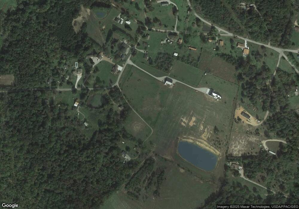
Map
Nearby Homes
- 1447 Mc Dermott Pond Creek Rd
- 246C Rd
- 3153 McDermott Pond Creek Rd
- 125 Owensville Rd
- 133 Crystal Dr
- 656 Arion Rd
- 499 Coburn Dr
- 525 Martin Cemetery Rd
- 11192 Ohio 104
- 11683 Ohio 104
- 0 Careys Run
- Acres Henley-Comstock Rd
- 0 Shepard Fork Rd
- 358 Warren Ave
- 448 Houston Hollow Rd
- 139 Back St
- 873A Dewey Extension
- 2840 Henley Comstock Rd
- 303 Raymond Ave
- 0 Shepherd Fork Rd
- 3260 Tatman-Coe Rd
- 3260 Tatman Coe Rd
- 3274 Tatman Coe McDermott
- 3328 Tatman Coe Rd
- 3218 Tatman Coe Rd
- 3303 Tatman Coe Rd
- 3201 Tatman Coe Rd
- 3201 Tatman Coe Rd
- 3315 Tatman Coe Rd
- 3150 Tatman Coe Rd
- 3350 Tatman Coe Rd
- 3155 Tatman Coe Rd
- 3370 Tatman Coe Rd
- 3454 Tatman Coe Rd
- 3448 Tatman Coe Rd
- 3532 Tatman Coe Rd
- 3469 Tatman Coe Rd
- 249 Colley Rd
- 3449 Tatman-Coe Rd
- 2866 Pollock Rd