3278 Jackson Rd Morven, GA 31638
Studio
1
Bath
1,524
Sq Ft
15,297,837
Sq Ft
About This Home
This home is located at 3278 Jackson Rd, Morven, GA 31638. 3278 Jackson Rd is a home located in Brooks County with nearby schools including North Brooks Elementary School.
Ownership History
Date
Name
Owned For
Owner Type
Purchase Details
Closed on
Apr 10, 2018
Sold by
Bradford Fam Farms Lllp
Bought by
Bradford Jason T
Purchase Details
Closed on
Feb 3, 2015
Sold by
Bradford Family Farm Lllp
Bought by
Sabal Trail Transmission Llc
Purchase Details
Closed on
Jun 5, 2009
Sold by
Bradford Family Farms Lllp
Bought by
Conservation Use Covenant Recording
Purchase Details
Closed on
Apr 18, 2005
Sold by
Bradford Charles O
Bought by
Bradford Fam Farm Lllp
Purchase Details
Closed on
Mar 14, 1990
Sold by
Williams James C
Bought by
Bradford C O
Purchase Details
Closed on
Nov 5, 1987
Sold by
Lodge Jr Thomas L and Lodge James C
Bought by
Williams James C
Create a Home Valuation Report for This Property
The Home Valuation Report is an in-depth analysis detailing your home's value as well as a comparison with similar homes in the area
Purchase History
| Date | Buyer | Sale Price | Title Company |
|---|---|---|---|
| Bradford Jason T | -- | -- | |
| Sabal Trail Transmission Llc | -- | -- | |
| Conservation Use Covenant Recording | -- | -- | |
| Bradford Fam Farm Lllp | -- | -- | |
| Bradford C O | $213,900 | -- | |
| Williams James C | -- | -- |
Source: Public Records
Tax History
| Year | Tax Paid | Tax Assessment Tax Assessment Total Assessment is a certain percentage of the fair market value that is determined by local assessors to be the total taxable value of land and additions on the property. | Land | Improvement |
|---|---|---|---|---|
| 2025 | $3,949 | $672,840 | $672,840 | $0 |
| 2024 | $3,837 | $672,840 | $672,840 | $0 |
| 2023 | $3,727 | $584,040 | $584,040 | $0 |
| 2022 | $3,969 | $556,240 | $556,240 | $0 |
| 2021 | $3,912 | $500,280 | $500,280 | $0 |
| 2020 | $13,894 | $500,280 | $500,280 | $0 |
| 2019 | $3,671 | $408,640 | $408,640 | $0 |
| 2018 | $12,288 | $420,720 | $417,040 | $3,680 |
| 2017 | $3,491 | $420,560 | $417,040 | $3,520 |
| 2016 | $3,415 | $420,560 | $417,040 | $3,520 |
| 2015 | -- | $420,560 | $417,040 | $3,520 |
| 2014 | -- | $410,880 | $405,160 | $5,720 |
| 2013 | -- | $410,880 | $405,160 | $5,720 |
Source: Public Records
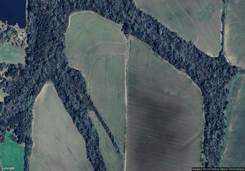
Map
Nearby Homes
- 2430 Spain Rd
- 1521 Mount Carmel Chuch Rx
- 237 Turkey Ridge Ln
- 85 Hitch St
- 95 Azalea St
- 165 Fletcher St
- 4386 Studstill Rd
- 103 Victorian Way
- 714 Morris Ave
- 832 Ramblin Rd
- 471 Jamar Trail
- 890 Ramblin Rd
- 270 Jamar Trail
- 248 Jamar Trail
- 295 Sunflower Trail
- 506 Oglesby St
- 807 N Court St
- 621 N Court St
- 304 W Rountree St
- 606 N Court St
- 3278 Jackson Rd
- 3513 Jackson Rd
- 0 Rolling Hills Rd
- 00 Rolling Hills Rd
- 2129 Rolling Hills Rd
- 3725 Jackson Rd
- 3761 Jackson Rd
- 3887 Jackson Rd
- 2057 Rolling Hills Rd
- 2015 Rolling Hills Rd
- 1514 Rolling Hills Rd
- 2970 Rolling Hills Rd
- 2425 Jackson Rd
- 2500 Jackson Rd
- 650 Jackson Rd
- 4321 Jackson Rd
- 4321 Jackson Rd
- 4321 Jackson Rd
Your Personal Tour Guide
Ask me questions while you tour the home.