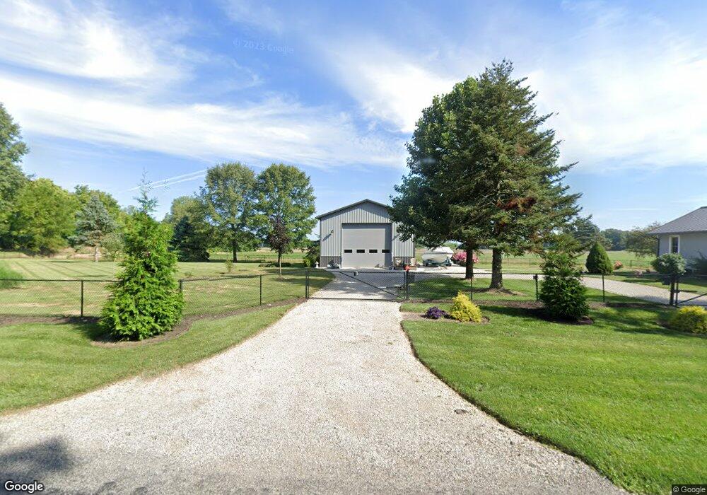
3278 Palmer Rd Hebron, OH 43025
Union Neighborhood
3
Beds
2
Baths
2,045
Sq Ft
6,156,770
Sq Ft Lot
About This Home
This home is located at 3278 Palmer Rd, Hebron, OH 43025. 3278 Palmer Rd is a home located in Licking County with nearby schools including Kirkersville Elementary School, Etna Elementary School, and Watkins Middle School.
Ownership History
Date
Name
Owned For
Owner Type
Purchase Details
Closed on
Apr 30, 2020
Sold by
Casto Connie Sue and Timmons Anita Louise
Bought by
Keller Timothy L and Keller Cindy L
Home Financials for this Owner
Home Financials are based on the most recent Mortgage that was taken out on this home.
Original Mortgage
$902,300
Outstanding Balance
$697,426
Interest Rate
3.5%
Mortgage Type
Commercial
Purchase Details
Closed on
Apr 12, 2019
Sold by
Irene L Martin Trust
Bought by
Fosnaugh Carl J and Fosnaugh Karen M
Home Financials for this Owner
Home Financials are based on the most recent Mortgage that was taken out on this home.
Original Mortgage
$775,510
Interest Rate
4.4%
Mortgage Type
New Conventional
Create a Home Valuation Report for This Property
The Home Valuation Report is an in-depth analysis detailing your home's value as well as a comparison with similar homes in the area
Home Values in the Area
Average Home Value in this Area
Purchase History
| Date | Buyer | Sale Price | Title Company |
|---|---|---|---|
| Keller Timothy L | $1,280,000 | None Available | |
| Fosnaugh Carl J | $245,000 | None Available |
Source: Public Records
Mortgage History
| Date | Status | Borrower | Loan Amount |
|---|---|---|---|
| Open | Keller Timothy L | $902,300 | |
| Previous Owner | Fosnaugh Carl J | $775,510 |
Source: Public Records
Tax History
| Year | Tax Paid | Tax Assessment Tax Assessment Total Assessment is a certain percentage of the fair market value that is determined by local assessors to be the total taxable value of land and additions on the property. | Land | Improvement |
|---|---|---|---|---|
| 2025 | $4,783 | $355,810 | $355,810 | $0 |
| 2024 | $4,481 | $355,810 | $355,810 | $0 |
| 2023 | $6,079 | $355,810 | $355,810 | $0 |
| 2022 | $2,362 | $293,510 | $293,510 | $0 |
| 2021 | $2,195 | $293,510 | $293,510 | $0 |
| 2020 | $2,246 | $293,510 | $293,510 | $0 |
| 2019 | $6,012 | $281,090 | $275,000 | $6,090 |
| 2018 | $9,269 | $281,085 | $274,995 | $6,090 |
| 2017 | $9,437 | $0 | $0 | $0 |
| 2016 | $10,624 | $0 | $0 | $0 |
| 2015 | $10,508 | $0 | $0 | $0 |
| 2014 | $14,410 | $0 | $0 | $0 |
| 2013 | $6,739 | $0 | $0 | $0 |
Source: Public Records
Map
Nearby Homes
- 13673 Cherry Ln
- 3787 Refugee Rd SW
- 9257 Lancaster Rd
- 12580 W Bank Dr NE
- 12730 W Bank Dr NE
- 12345 Cherry Ln
- 3273 Shepard Ave
- 780 National Rd SE
- 90 Louella Dr
- 145 E Main St
- 3371 Shepard Ave
- 210 4th St
- 3483 N Bank Rd
- 0 Loop Rd
- 12291 Ohio Ave
- 2448 Refugee St
- 3222 Cottonwood Ct NE
- 2709 Terrace St
- 2595 Canal Dr
- 3792 Avalon Dr NE
Your Personal Tour Guide
Ask me questions while you tour the home.