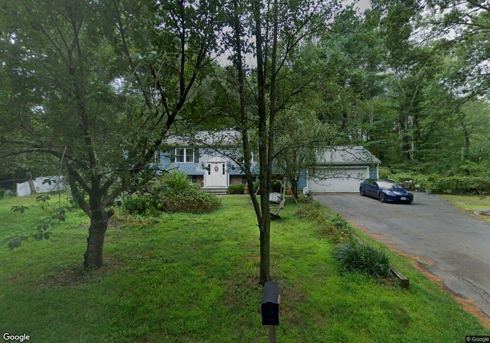
328 Grove St Hanover, MA 02339
Estimated Value: $658,000 - $832,000
3
Beds
2
Baths
1,616
Sq Ft
$453/Sq Ft
Est. Value
About This Home
This home is located at 328 Grove St, Hanover, MA 02339 and is currently estimated at $732,106, approximately $453 per square foot. 328 Grove St is a home located in Plymouth County with nearby schools including Hanover High School, The Master's Academy, and Cardinal Cushing Centers.
Ownership History
Date
Name
Owned For
Owner Type
Purchase Details
Closed on
Nov 19, 2024
Sold by
Parisi David A and Parisi Maria E
Bought by
Parish Ft and Parisi
Current Estimated Value
Purchase Details
Closed on
Feb 24, 1989
Sold by
Hewporth Donald B
Bought by
Parisi David A
Create a Home Valuation Report for This Property
The Home Valuation Report is an in-depth analysis detailing your home's value as well as a comparison with similar homes in the area
Home Values in the Area
Average Home Value in this Area
Purchase History
| Date | Buyer | Sale Price | Title Company |
|---|---|---|---|
| Parish Ft | -- | None Available | |
| Parish Ft | -- | None Available | |
| Parisi David A | $165,000 | -- | |
| Parisi David A | $165,000 | -- |
Source: Public Records
Mortgage History
| Date | Status | Borrower | Loan Amount |
|---|---|---|---|
| Previous Owner | Parisi David A | $244,000 | |
| Previous Owner | Parisi David A | $32,300 | |
| Previous Owner | Parisi David A | $150,000 |
Source: Public Records
Tax History Compared to Growth
Tax History
| Year | Tax Paid | Tax Assessment Tax Assessment Total Assessment is a certain percentage of the fair market value that is determined by local assessors to be the total taxable value of land and additions on the property. | Land | Improvement |
|---|---|---|---|---|
| 2025 | $8,225 | $666,000 | $270,900 | $395,100 |
| 2024 | $8,205 | $639,000 | $270,900 | $368,100 |
| 2023 | $8,277 | $613,600 | $246,200 | $367,400 |
| 2022 | $7,820 | $512,800 | $246,200 | $266,600 |
| 2021 | $7,353 | $450,300 | $212,700 | $237,600 |
| 2020 | $7,278 | $446,200 | $212,700 | $233,500 |
| 2019 | $6,787 | $413,600 | $212,700 | $200,900 |
| 2018 | $1,950 | $417,600 | $212,700 | $204,900 |
| 2017 | $6,869 | $415,800 | $212,600 | $203,200 |
| 2016 | $6,685 | $396,500 | $193,300 | $203,200 |
| 2015 | $5,793 | $358,700 | $193,300 | $165,400 |
Source: Public Records
Map
Nearby Homes
- 62 Larchmont Ln
- 8 Old Farm Rd
- 265 Silver St
- 250 Center St
- 51 Cervelli Farm Dr
- 37 Dr
- 23 Cervelli Farm Dr
- 38 Cervelli Farm Dr
- 9 Cervelli Farm Dr
- 14 Longwood Ln Unit 14
- 436 Center St
- 67 School St
- 553 Center St
- 53 Chestnut St
- 21 King St
- 154 Winter St
- 118 Bates Way
- 41 Gail Rd
- 114 Graham Hill Dr
- 1251 Broadway