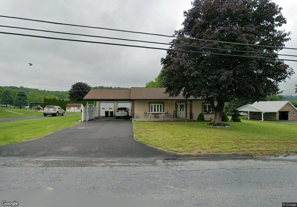
328 Long Lane Rd Walnutport, PA 18088
Estimated Value: $251,712 - $306,000
2
Beds
1
Bath
883
Sq Ft
$314/Sq Ft
Est. Value
About This Home
This home is located at 328 Long Lane Rd, Walnutport, PA 18088 and is currently estimated at $276,928, approximately $313 per square foot. 328 Long Lane Rd is a home located in Northampton County with nearby schools including Lehigh Elementary School, Northampton Area Middle School, and Northampton Area High School.
Ownership History
Date
Name
Owned For
Owner Type
Purchase Details
Closed on
May 24, 2017
Sold by
Cochran George
Bought by
Sitko Deborah and Sitko Louis
Current Estimated Value
Home Financials for this Owner
Home Financials are based on the most recent Mortgage that was taken out on this home.
Original Mortgage
$144,875
Outstanding Balance
$120,249
Interest Rate
4.03%
Mortgage Type
New Conventional
Estimated Equity
$156,679
Purchase Details
Closed on
May 1, 1984
Bought by
Derr Janet L
Create a Home Valuation Report for This Property
The Home Valuation Report is an in-depth analysis detailing your home's value as well as a comparison with similar homes in the area
Home Values in the Area
Average Home Value in this Area
Purchase History
| Date | Buyer | Sale Price | Title Company |
|---|---|---|---|
| Sitko Deborah | $152,500 | None Available | |
| Derr Janet L | $47,200 | -- |
Source: Public Records
Mortgage History
| Date | Status | Borrower | Loan Amount |
|---|---|---|---|
| Open | Sitko Deborah | $144,875 |
Source: Public Records
Tax History Compared to Growth
Tax History
| Year | Tax Paid | Tax Assessment Tax Assessment Total Assessment is a certain percentage of the fair market value that is determined by local assessors to be the total taxable value of land and additions on the property. | Land | Improvement |
|---|---|---|---|---|
| 2025 | $511 | $47,300 | $18,300 | $29,000 |
| 2024 | $3,477 | $47,300 | $18,300 | $29,000 |
| 2023 | $3,416 | $47,300 | $18,300 | $29,000 |
| 2022 | $3,416 | $47,300 | $18,300 | $29,000 |
| 2021 | $3,424 | $47,300 | $18,300 | $29,000 |
| 2020 | $3,424 | $47,300 | $18,300 | $29,000 |
| 2019 | $3,374 | $47,300 | $18,300 | $29,000 |
| 2018 | $3,324 | $47,300 | $18,300 | $29,000 |
| 2017 | $3,251 | $47,300 | $18,300 | $29,000 |
| 2016 | -- | $47,300 | $18,300 | $29,000 |
| 2015 | -- | $47,300 | $18,300 | $29,000 |
| 2014 | -- | $47,300 | $18,300 | $29,000 |
Source: Public Records
Map
Nearby Homes
- 4354 Second St
- 297 Blue Mountain Dr
- 0 Riverview Dr Unit 754578
- 0 Riverview Dr Unit 754406
- 436 Willow Rd Unit Lot 15
- 365 Mulberry Dr
- 1135 Sherwood Dr
- 1086 Birch St Unit 286
- 464 Long Lane Rd
- 448 Long Lane Rd
- 1321 Rising Sun Rd
- 582 Ironwood Rd
- 1021 Aspen St
- 579 Overlook Cir
- 1911 Echo Rd
- 713 Almond Rd
- 4015 Sycamore Dr
- Beacon Pointe Hometown Plan at Brook Hill Estates
- Linden Plan at Brook Hill Estates
- Arbor Plan at Brook Hill Estates
- 322 Long Lane Rd
- 331 Long Lane Rd
- 334 Long Lane Rd
- 323 Long Lane Rd
- 318 Long Lane Rd
- 4363 Third St
- 340 Long Lane Rd
- 339 Long Lane Rd
- 315 Long Lane Rd
- 4352 2nd St
- 4359 3rd St
- 346 Long Lane Rd
- 4362 3rd St
- 4346 2nd St
- 4355 Third St
- 307 Long Lane Rd
- 4349 Second St
- 347 Long Lane Rd
- 4342 Second St
- 305 Long Lane Rd