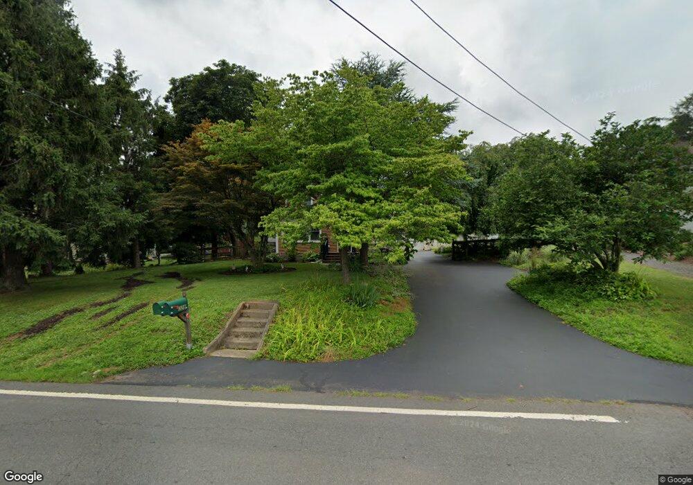
328 Maple Ave Branchburg, NJ 08853
Estimated Value: $437,647 - $551,000
Studio
--
Bath
1,488
Sq Ft
$344/Sq Ft
Est. Value
About This Home
This home is located at 328 Maple Ave, Branchburg, NJ 08853 and is currently estimated at $511,662, approximately $343 per square foot. 328 Maple Ave is a home located in Somerset County with nearby schools including Whiton Elementary School, Stony Brook School, and Branchburg Central Middle School.
Ownership History
Date
Name
Owned For
Owner Type
Purchase Details
Closed on
Nov 24, 2004
Sold by
Gallagher Paul J
Bought by
Granrath Carol M
Current Estimated Value
Home Financials for this Owner
Home Financials are based on the most recent Mortgage that was taken out on this home.
Original Mortgage
$320,000
Outstanding Balance
$159,829
Interest Rate
5.69%
Estimated Equity
$351,833
Purchase Details
Closed on
Jul 31, 1996
Sold by
Griffin John
Bought by
Gallagher Paul and Cernek Joyce
Home Financials for this Owner
Home Financials are based on the most recent Mortgage that was taken out on this home.
Original Mortgage
$154,000
Interest Rate
8.24%
Create a Home Valuation Report for This Property
The Home Valuation Report is an in-depth analysis detailing your home's value as well as a comparison with similar homes in the area
Home Values in the Area
Average Home Value in this Area
Purchase History
| Date | Buyer | Sale Price | Title Company |
|---|---|---|---|
| Granrath Carol M | $335,000 | -- | |
| Gallagher Paul | $165,500 | -- |
Source: Public Records
Mortgage History
| Date | Status | Borrower | Loan Amount |
|---|---|---|---|
| Open | Granrath Carol M | $320,000 | |
| Previous Owner | Gallagher Paul | $154,000 |
Source: Public Records
Tax History
| Year | Tax Paid | Tax Assessment Tax Assessment Total Assessment is a certain percentage of the fair market value that is determined by local assessors to be the total taxable value of land and additions on the property. | Land | Improvement |
|---|---|---|---|---|
| 2025 | $7,631 | $455,200 | $127,800 | $327,400 |
| 2024 | $7,631 | $423,000 | $127,800 | $295,200 |
| 2023 | $7,463 | $398,900 | $127,800 | $271,100 |
| 2022 | $6,945 | $377,200 | $127,800 | $249,400 |
| 2021 | $7,494 | $354,500 | $127,800 | $226,700 |
| 2020 | $7,297 | $340,500 | $127,800 | $212,700 |
| 2019 | $7,301 | $338,800 | $127,800 | $211,000 |
| 2018 | $7,218 | $334,000 | $127,800 | $206,200 |
| 2017 | $7,231 | $332,300 | $124,800 | $207,500 |
| 2016 | $7,225 | $329,900 | $124,800 | $205,100 |
| 2015 | $7,253 | $321,100 | $123,800 | $197,300 |
| 2014 | $6,921 | $320,400 | $123,800 | $196,600 |
Source: Public Records
Map
Nearby Homes
- 400 Olive St
- 105 Woodfern Rd
- 200 Zion Rd
- 406 Caruso Ct
- 718 Mill Ln
- 724 Mill Ln
- 611 Boozer Ln
- 111 Wertsville Rd
- 1106 Van Arsdale Dr
- 7 Lexington Ave
- 206 Pleasant Run Rd
- 0 Amwell Rd
- 169 E Mountain Rd
- 183 Milkweed Ct
- 107 Huckleberry Ct
- 95 Huckleberry Ct
- 6 Longfield Dr
- 330 Phoebe Ct
- 962 Old York Rd
- 2142 S Branch Rd
Your Personal Tour Guide
Ask me questions while you tour the home.