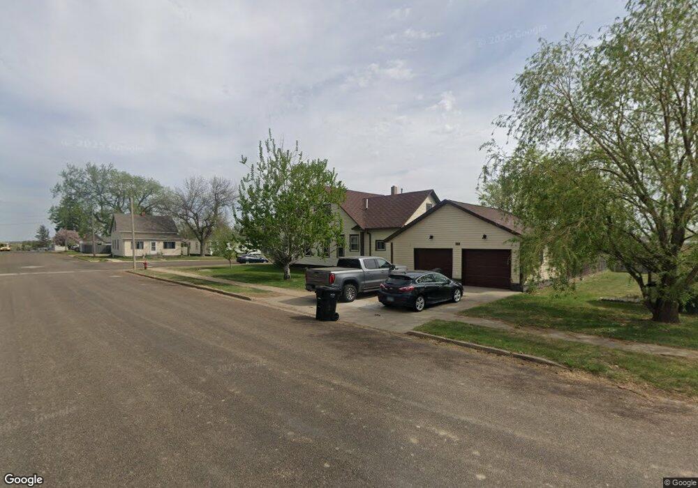
328 N Main St Richardton, ND 58652
Estimated Value: $275,000 - $310,102
2
Beds
2
Baths
2,814
Sq Ft
$105/Sq Ft
Est. Value
About This Home
This home is located at 328 N Main St, Richardton, ND 58652 and is currently estimated at $296,701, approximately $105 per square foot. 328 N Main St is a home located in Stark County with nearby schools including Taylor-Richardton Elementary School and Richardton-Taylor High School.
Ownership History
Date
Name
Owned For
Owner Type
Purchase Details
Closed on
Oct 8, 2007
Sold by
Kuhn Matthew L and Kuhn Theresa M
Bought by
Lenerville Kyle K and Lenerville Chritine J
Current Estimated Value
Home Financials for this Owner
Home Financials are based on the most recent Mortgage that was taken out on this home.
Original Mortgage
$78,000
Outstanding Balance
$49,559
Interest Rate
6.55%
Mortgage Type
New Conventional
Estimated Equity
$247,142
Create a Home Valuation Report for This Property
The Home Valuation Report is an in-depth analysis detailing your home's value as well as a comparison with similar homes in the area
Home Values in the Area
Average Home Value in this Area
Purchase History
| Date | Buyer | Sale Price | Title Company |
|---|---|---|---|
| Lenerville Kyle K | -- | Queen City Abstract Title |
Source: Public Records
Mortgage History
| Date | Status | Borrower | Loan Amount |
|---|---|---|---|
| Open | Lenerville Kyle K | $78,000 |
Source: Public Records
Tax History Compared to Growth
Tax History
| Year | Tax Paid | Tax Assessment Tax Assessment Total Assessment is a certain percentage of the fair market value that is determined by local assessors to be the total taxable value of land and additions on the property. | Land | Improvement |
|---|---|---|---|---|
| 2024 | $3,686 | $222,200 | $8,300 | $213,900 |
| 2023 | $3,679 | $208,300 | $8,300 | $200,000 |
| 2022 | $2,738 | $208,300 | $8,300 | $200,000 |
| 2021 | $2,729 | $201,100 | $8,300 | $192,800 |
| 2020 | $2,744 | $203,700 | $8,300 | $195,400 |
| 2019 | $2,751 | $204,200 | $8,300 | $195,900 |
| 2018 | $2,737 | $206,400 | $8,300 | $198,100 |
| 2017 | $1,663 | $203,300 | $8,300 | $195,000 |
| 2015 | $1,663 | $191,400 | $8,300 | $183,100 |
| 2014 | $1,808 | $181,100 | $8,300 | $172,800 |
| 2013 | -- | $166,700 | $8,300 | $158,400 |
Source: Public Records
Map
Nearby Homes
- 307 3rd St N
- 230 B St N
- 210 S B St
- 204 12th Ave E
- 9287 Highway 10
- 214 Ray Jay Cir
- 3287 82w Ave SW
- 9977 36b St SW
- 9984 36b St SW
- 0 L4 B2 Bakken Estates Unit 25-967
- 0 Lot 2 Block 2 Buffalo Heights
- 9996 36e St SW
- 0 36b St SW
- 0 36e St SW
- 0 Lot 8 Block 1 Buffalo Heights Unit 25-969
- 0 Lot 6 Block 1 Buffalo Heights Unit 25-971
- 8315 25th St SW
- 0 Lot 9 Block 1 Buffalo Heights Unit 25-968
- 0 Block 1 Lot 1 Unit 24-775
- 0 Cliff St