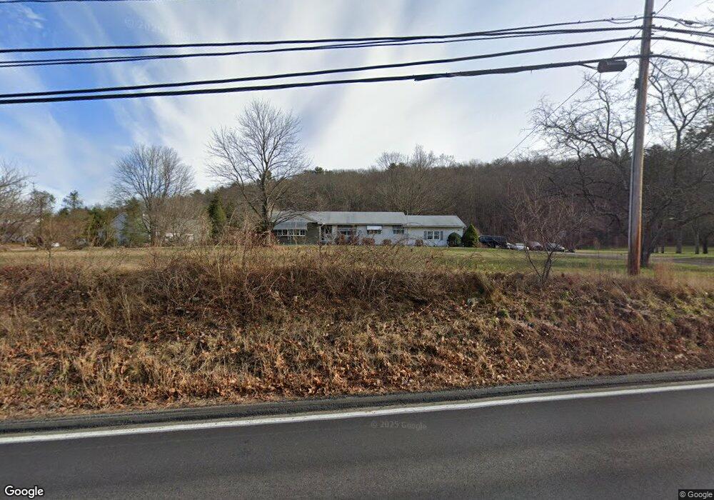
328 River Rd Willington, CT 06279
Estimated Value: $333,000 - $368,736
3
Beds
3
Baths
1,764
Sq Ft
$198/Sq Ft
Est. Value
About This Home
This home is located at 328 River Rd, Willington, CT 06279 and is currently estimated at $348,434, approximately $197 per square foot. 328 River Rd is a home located in Tolland County with nearby schools including Center Elementary School, Hall Memorial School, and E.O. Smith High School.
Ownership History
Date
Name
Owned For
Owner Type
Purchase Details
Closed on
May 29, 2013
Sold by
Cote Daniel R
Bought by
Cote Shari L and Cote Daniel R
Current Estimated Value
Home Financials for this Owner
Home Financials are based on the most recent Mortgage that was taken out on this home.
Original Mortgage
$123,300
Outstanding Balance
$87,552
Interest Rate
3.45%
Estimated Equity
$260,882
Create a Home Valuation Report for This Property
The Home Valuation Report is an in-depth analysis detailing your home's value as well as a comparison with similar homes in the area
Home Values in the Area
Average Home Value in this Area
Purchase History
| Date | Buyer | Sale Price | Title Company |
|---|---|---|---|
| Cote Shari L | -- | -- | |
| Cote Daniel R | $154,000 | -- | |
| Cote Shari L | -- | -- |
Source: Public Records
Mortgage History
| Date | Status | Borrower | Loan Amount |
|---|---|---|---|
| Open | Cote Shari L | $123,300 | |
| Closed | Cote Shari L | $123,300 | |
| Previous Owner | Cote Shari L | $352,500 |
Source: Public Records
Tax History
| Year | Tax Paid | Tax Assessment Tax Assessment Total Assessment is a certain percentage of the fair market value that is determined by local assessors to be the total taxable value of land and additions on the property. | Land | Improvement |
|---|---|---|---|---|
| 2025 | $4,896 | $192,610 | $29,660 | $162,950 |
| 2024 | $4,843 | $142,900 | $27,670 | $115,230 |
| 2023 | $4,596 | $142,900 | $27,670 | $115,230 |
| 2022 | $4,468 | $142,900 | $27,670 | $115,230 |
| 2021 | $4,286 | $142,900 | $27,670 | $115,230 |
| 2020 | $6,617 | $142,900 | $27,670 | $115,230 |
| 2019 | $4,300 | $142,900 | $27,670 | $115,230 |
| 2018 | $6,617 | $145,270 | $35,780 | $109,490 |
| 2017 | $4,371 | $145,270 | $35,780 | $109,490 |
| 2015 | $3,972 | $145,270 | $35,780 | $109,490 |
| 2014 | $3,972 | $145,270 | $35,780 | $109,490 |
Source: Public Records
Map
Nearby Homes
- 70 Tolland Turnpike
- 0 Tolland Stage Rd Unit 24101836
- 131 River Rd
- 0 River Rd Unit 24120753
- 124 River Rd
- 159 Anthony Rd
- 137 Anthony Rd
- 8 Walbridge Hill Rd
- 535 Merrow Rd
- 22 Cisar Rd
- 0 Jared Sparks Rd
- 317 Merrow Rd
- 312 Merrow Rd
- 284 Merrow Rd
- 487 Buff Cap Rd
- 248 Merrow Rd
- 33 Josephine Way
- 25 Josephine Way
- 1728 Stafford Rd
- 27 Amanda Way
- 326 River Rd
- 36 Tolland Turnpike
- 34 Tolland Turnpike
- 40 Tolland Turnpike
- 331 River Rd
- 0 Tolland Turnpike Unit G695796
- 0 Tolland Turnpike Unit 170032662
- 0 Tolland Turnpike Unit 170032657
- 0 Tolland Turnpike Unit 170032651
- 0 Tolland Turnpike Unit 170028926
- 0 Tolland Turnpike Unit G493393
- 0 Tolland Turnpike Unit G493390
- 0 Tolland Turnpike Unit G493385
- 0 Tolland Turnpike Unit G561344
- 0 Tolland Turnpike Unit G561336
- 0 Tolland Turnpike Unit G561332
- 0 Tolland Turnpike Unit G576109
- 0 Tolland Turnpike Unit G660679
- 0 Tolland Turnpike Unit G10076208
- 0 Tolland Turnpike Unit G10174483
Your Personal Tour Guide
Ask me questions while you tour the home.