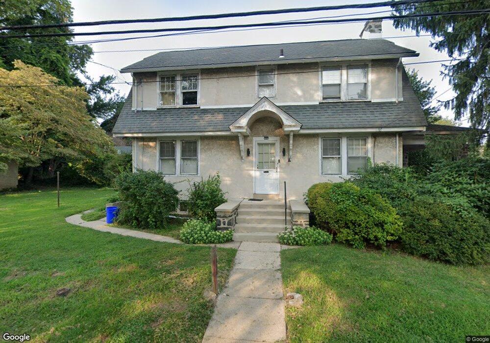
328 S Carol Blvd Upper Darby, PA 19082
Estimated Value: $217,000 - $343,000
4
Beds
2
Baths
1,925
Sq Ft
$156/Sq Ft
Est. Value
About This Home
This home is located at 328 S Carol Blvd, Upper Darby, PA 19082 and is currently estimated at $299,835, approximately $155 per square foot. 328 S Carol Blvd is a home located in Delaware County with nearby schools including Drexel Hill Middle School, Upper Darby High School, and St. Laurence's School.
Ownership History
Date
Name
Owned For
Owner Type
Purchase Details
Closed on
Nov 25, 2024
Sold by
Jasmattie Ruplal
Bought by
Ruplal Nicholos Ravin
Current Estimated Value
Home Financials for this Owner
Home Financials are based on the most recent Mortgage that was taken out on this home.
Original Mortgage
$150,000
Outstanding Balance
$148,709
Interest Rate
6.32%
Mortgage Type
New Conventional
Estimated Equity
$151,126
Purchase Details
Closed on
Nov 1, 2023
Sold by
Hoshabjian Lucille and Hoshabjian Alyce
Bought by
Ruplal Jasmattle
Purchase Details
Closed on
Jun 10, 1959
Bought by
Hoshabjian Hoshabjian S and Hoshabjian A
Create a Home Valuation Report for This Property
The Home Valuation Report is an in-depth analysis detailing your home's value as well as a comparison with similar homes in the area
Home Values in the Area
Average Home Value in this Area
Purchase History
| Date | Buyer | Sale Price | Title Company |
|---|---|---|---|
| Ruplal Nicholos Ravin | $290,000 | None Listed On Document | |
| Ruplal Nicholos Ravin | $290,000 | None Listed On Document | |
| Ruplal Jasmattle | $195,000 | Neshaminy Abstract | |
| Hoshabjian Hoshabjian S | -- | -- |
Source: Public Records
Mortgage History
| Date | Status | Borrower | Loan Amount |
|---|---|---|---|
| Open | Ruplal Nicholos Ravin | $150,000 | |
| Closed | Ruplal Nicholos Ravin | $150,000 |
Source: Public Records
Tax History Compared to Growth
Tax History
| Year | Tax Paid | Tax Assessment Tax Assessment Total Assessment is a certain percentage of the fair market value that is determined by local assessors to be the total taxable value of land and additions on the property. | Land | Improvement |
|---|---|---|---|---|
| 2025 | $5,832 | $137,910 | $47,540 | $90,370 |
| 2024 | $5,832 | $137,910 | $47,540 | $90,370 |
| 2023 | $5,777 | $137,910 | $47,540 | $90,370 |
| 2022 | $5,622 | $137,910 | $47,540 | $90,370 |
| 2021 | $7,581 | $137,910 | $47,540 | $90,370 |
| 2020 | $6,850 | $105,900 | $34,180 | $71,720 |
| 2019 | $6,730 | $105,900 | $34,180 | $71,720 |
| 2018 | $6,653 | $105,900 | $0 | $0 |
| 2017 | $6,480 | $105,900 | $0 | $0 |
| 2016 | $581 | $105,900 | $0 | $0 |
| 2015 | $593 | $105,900 | $0 | $0 |
| 2014 | $593 | $105,900 | $0 | $0 |
Source: Public Records
Map
Nearby Homes
- 7819 Westview Ave
- 7823 Arlington Ave
- 241 S Cedar Ln
- 11 S Cedar Ln
- 8125 W Chester Pike Unit A4
- 7920 W Chester Pike
- 2219 Ardmore Ave
- 852 Windermere Ave
- 7226 Penarth Ave
- 201 Saint Laurence Rd
- 105 N Fairview Ave
- 71 S Brighton Ave
- 25 N Pennock Ave
- 2354 Bond Ave
- 148 Meadowbrook Ave
- 858 Fairfax Rd
- 171 N Carol Blvd
- 46 S State Rd
- 872 Fairfax Rd
- 804 Gainsboro Rd
- 324 S Carol Blvd
- 320 S Carol Blvd
- 329 S Madison Ave
- 7912 Beverly Blvd
- 325 S Madison Ave
- 319 S Madison Ave
- 323 S Carol Blvd
- 7870 Beverly Blvd
- 7918 Beverly Blvd
- 310 S Carol Blvd
- 7868 Beverly Blvd
- 315 S Madison Ave
- 7920 Beverly Blvd
- 7861 Beverly Blvd
- 7866 Beverly Blvd
- 319 S Carol Blvd
- 387 S Carol Blvd
- 7864 Beverly Blvd
- 7922 Beverly Blvd
- 7865 Beverly Blvd