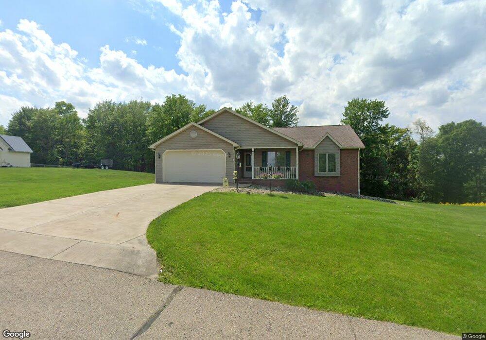
328 Sequoia Dr Byesville, OH 43723
Estimated Value: $227,000 - $287,000
Studio
1
Bath
1,559
Sq Ft
$172/Sq Ft
Est. Value
About This Home
This home is located at 328 Sequoia Dr, Byesville, OH 43723 and is currently estimated at $267,388, approximately $171 per square foot. 328 Sequoia Dr is a home with nearby schools including Meadowbrook High School, Foxfire East Academy, and Cherish Christian Academy.
Ownership History
Date
Name
Owned For
Owner Type
Purchase Details
Closed on
Aug 18, 2009
Sold by
Bivens Jean G and Warehime Ruth E
Bought by
Warner Stephen G and Warner Elaine L
Current Estimated Value
Home Financials for this Owner
Home Financials are based on the most recent Mortgage that was taken out on this home.
Original Mortgage
$114,800
Interest Rate
5.29%
Mortgage Type
New Conventional
Purchase Details
Closed on
Feb 14, 2005
Sold by
Bivens Jean G
Bought by
Bivens Jean G
Create a Home Valuation Report for This Property
The Home Valuation Report is an in-depth analysis detailing your home's value as well as a comparison with similar homes in the area
Purchase History
| Date | Buyer | Sale Price | Title Company |
|---|---|---|---|
| Warner Stephen G | $143,500 | -- | |
| Bivens Jean G | -- | -- |
Source: Public Records
Mortgage History
| Date | Status | Borrower | Loan Amount |
|---|---|---|---|
| Closed | Warner Stephen G | $114,800 |
Source: Public Records
Tax History
| Year | Tax Paid | Tax Assessment Tax Assessment Total Assessment is a certain percentage of the fair market value that is determined by local assessors to be the total taxable value of land and additions on the property. | Land | Improvement |
|---|---|---|---|---|
| 2025 | $3,104 | $78,571 | $12,274 | $66,297 |
| 2024 | $3,106 | $78,571 | $12,274 | $66,297 |
| 2023 | $3,005 | $62,356 | $9,740 | $52,616 |
| 2022 | $2,587 | $62,360 | $9,740 | $52,620 |
| 2021 | $2,487 | $62,360 | $9,740 | $52,620 |
| 2020 | $2,368 | $60,340 | $9,740 | $50,600 |
| 2019 | $2,350 | $60,340 | $9,740 | $50,600 |
| 2018 | $2,210 | $60,340 | $9,740 | $50,600 |
| 2017 | $2,111 | $52,290 | $8,470 | $43,820 |
| 2016 | $2,080 | $52,290 | $8,470 | $43,820 |
| 2015 | $2,080 | $52,290 | $8,470 | $43,820 |
| 2014 | -- | $49,050 | $7,000 | $42,050 |
| 2013 | $991 | $49,050 | $7,000 | $42,050 |
Source: Public Records
Map
Nearby Homes
- 0 S 9th St
- 226 S 6th St
- 237 S 5th St
- 227 S 5th St
- 231 N 7th St
- 210 S 4th St
- 0 Main St
- 0 Greendale Ave
- 208 Meek Ave
- 9585 Country Club Estate Dr
- 0 Country Club Estate Dr Unit 5177842
- 0 Country Club Estate Dr Unit 5177851
- 0 Country Club Estate Dr Unit 5177854
- 0 Country Club Estate Dr Unit 5177868
- 0 Country Club Estate Dr Unit 5177846
- 0 Country Club Estate Dr Unit 5177860
- 0 Country Club Estate Dr Unit 5177843
- 9545 Country Club Estate Dr
- 0 Country Club Estate Dr Unit 5177862
- 0 Country Club Estate Dr Unit 5177853
Your Personal Tour Guide
Ask me questions while you tour the home.