328 Tom Wilson Ln Rabun Gap, GA 30568
Estimated Value: $304,000 - $343,150
3
Beds
1
Bath
850
Sq Ft
$381/Sq Ft
Est. Value
About This Home
This home is located at 328 Tom Wilson Ln, Rabun Gap, GA 30568 and is currently estimated at $323,575, approximately $380 per square foot. 328 Tom Wilson Ln is a home located in Rabun County with nearby schools including Rabun County Primary School, Rabun County High School, and Rabun Gap Nacoochee School.
Ownership History
Date
Name
Owned For
Owner Type
Purchase Details
Closed on
Apr 9, 2018
Sold by
Wilson David M
Bought by
Wilson Thomas Andrew and Wilson Patricia T
Current Estimated Value
Create a Home Valuation Report for This Property
The Home Valuation Report is an in-depth analysis detailing your home's value as well as a comparison with similar homes in the area
Home Values in the Area
Average Home Value in this Area
Purchase History
| Date | Buyer | Sale Price | Title Company |
|---|---|---|---|
| Wilson Thomas Andrew | -- | -- | |
| Wilson Thomas Andrew | -- | -- |
Source: Public Records
Tax History Compared to Growth
Tax History
| Year | Tax Paid | Tax Assessment Tax Assessment Total Assessment is a certain percentage of the fair market value that is determined by local assessors to be the total taxable value of land and additions on the property. | Land | Improvement |
|---|---|---|---|---|
| 2025 | $1,096 | $70,627 | $61,308 | $9,319 |
| 2024 | $1,092 | $70,035 | $61,308 | $8,727 |
| 2023 | $1,125 | $63,457 | $55,735 | $7,722 |
| 2022 | $1,120 | $63,175 | $55,735 | $7,440 |
| 2021 | $1,076 | $59,374 | $52,948 | $6,426 |
| 2020 | $1,098 | $58,592 | $52,948 | $5,644 |
| 2019 | $1,105 | $58,592 | $52,948 | $5,644 |
| 2018 | $1,041 | $55,114 | $49,470 | $5,644 |
| 2017 | $999 | $55,114 | $49,470 | $5,644 |
| 2016 | $1,039 | $55,114 | $49,470 | $5,644 |
| 2015 | $1,056 | $54,843 | $49,470 | $5,373 |
| 2014 | $1,062 | $54,843 | $49,470 | $5,373 |
Source: Public Records
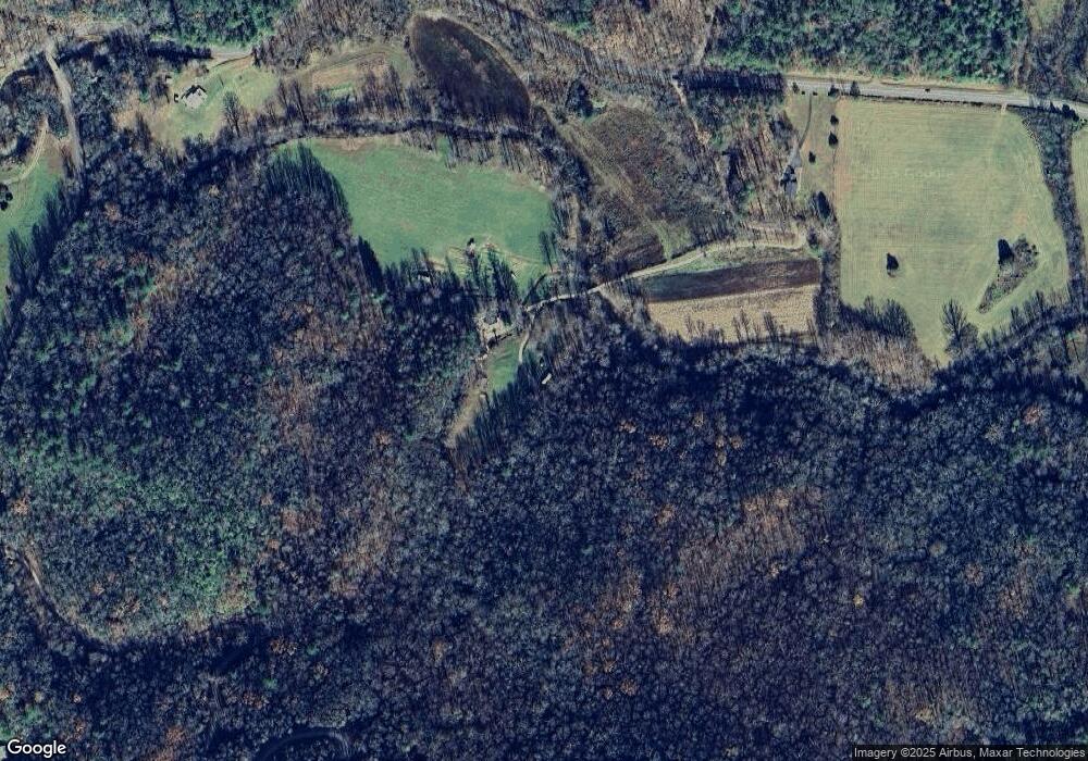
Map
Nearby Homes
- 0 Ov Justus Rd
- 108 Olds Mountain Peak Rd
- LOT SM4 Raven Fork Trail
- 73 Redbird Ln
- 0 Smokey Hollow Dr Unit LOT 27 10561110
- 786 Hope Haven Ln
- 243 Degroff Ln
- LOT 18 Wynngate Dr
- 571 Ledford Rd
- 0 Allen Cove Rd Unit 10586573
- 1500 Park Vista Trail
- 5192 Wolffork Rd
- 5019 Wolffork Rd
- 137 Olds Mountain Peak Rd
- 0 N U S 441 NW Unit 10489249
- 0 Wolffork Rd Unit 10624471
- 784 Wolffork Church Rd
- 0 Us-441 S Unit 10226435
- 00 Mulberry Rd
- 205 Carolina St
- 0 Tom Wilson Ln
- 2419 Bettys Creek Rd
- 101 High Darnell Rd
- 2480 Bettys Creek Rd
- 490 High Darnell Rd
- 669 High Darnell Rd
- 0 High Darnell Rd Unit 7024241
- 0 High Darnell Rd Unit 7024221
- 0 High Darnell Rd Unit 7446682
- 0 High Darnell Rd Unit 7549575
- 0 High Darnell Rd Unit 7631485
- 0 High Darnell Rd Unit 8192074
- 2907 Bettys Creek Rd
- 279 Bryes Place Ln
- 614 High Darnell Rd
- 140 Clark Norton Ln
- 758 High Darnell Rd
- 2978 Bettys Creek Rd
- 793 High Darnell Rd
- 402 Paul Grist Ln