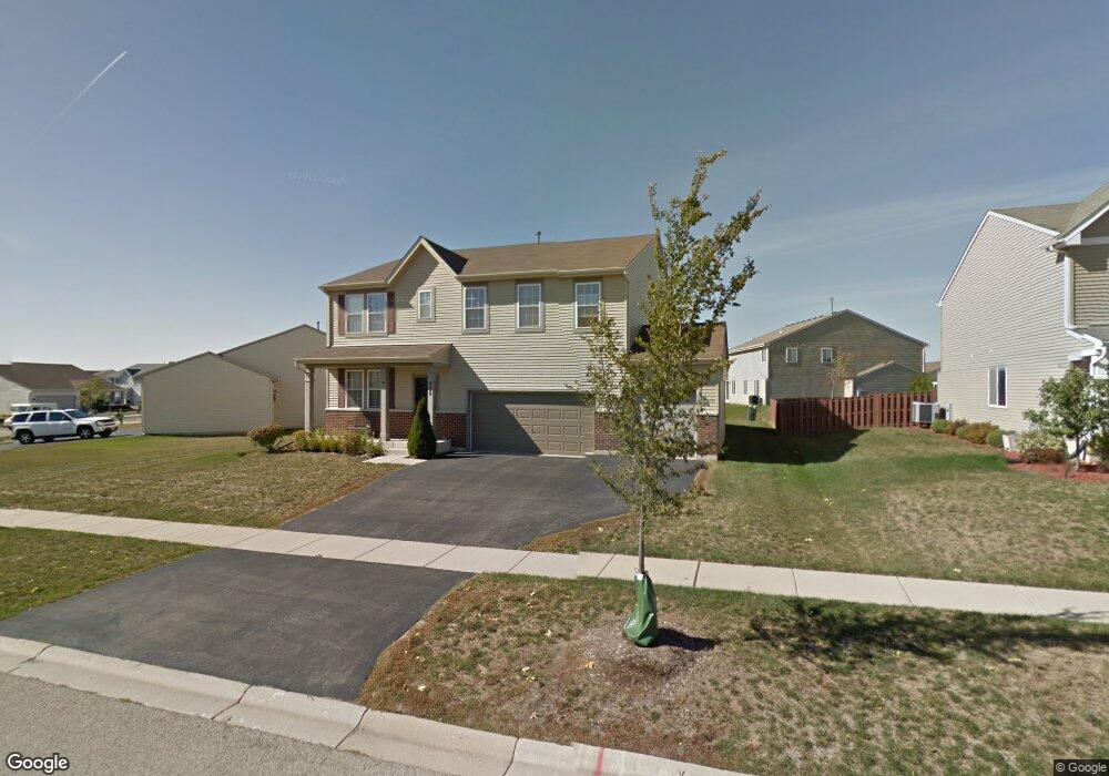
328 Westport Dr Pingree Grove, IL 60140
Estimated Value: $459,000 - $480,000
--
Bed
1
Bath
3,085
Sq Ft
$151/Sq Ft
Est. Value
About This Home
This home is located at 328 Westport Dr, Pingree Grove, IL 60140 and is currently estimated at $467,296, approximately $151 per square foot. 328 Westport Dr is a home located in Kane County with nearby schools including Gary D. Wright Elementary School, West Central Elementary School, and Hampshire Middle School.
Ownership History
Date
Name
Owned For
Owner Type
Purchase Details
Closed on
May 4, 2006
Sold by
Drh Cambridge Homes Inc
Bought by
Hays Jeffrey G and Hays Christine R
Current Estimated Value
Home Financials for this Owner
Home Financials are based on the most recent Mortgage that was taken out on this home.
Original Mortgage
$308,850
Outstanding Balance
$180,301
Interest Rate
6.54%
Mortgage Type
Fannie Mae Freddie Mac
Estimated Equity
$286,995
Create a Home Valuation Report for This Property
The Home Valuation Report is an in-depth analysis detailing your home's value as well as a comparison with similar homes in the area
Home Values in the Area
Average Home Value in this Area
Purchase History
| Date | Buyer | Sale Price | Title Company |
|---|---|---|---|
| Hays Jeffrey G | $343,500 | First American Title |
Source: Public Records
Mortgage History
| Date | Status | Borrower | Loan Amount |
|---|---|---|---|
| Open | Hays Jeffrey G | $308,850 |
Source: Public Records
Tax History Compared to Growth
Tax History
| Year | Tax Paid | Tax Assessment Tax Assessment Total Assessment is a certain percentage of the fair market value that is determined by local assessors to be the total taxable value of land and additions on the property. | Land | Improvement |
|---|---|---|---|---|
| 2024 | $10,920 | $144,824 | $30,777 | $114,047 |
| 2023 | $10,594 | $130,967 | $27,832 | $103,135 |
| 2022 | $10,217 | $120,751 | $25,661 | $95,090 |
| 2021 | $9,962 | $113,574 | $24,136 | $89,438 |
| 2020 | $9,791 | $110,675 | $23,520 | $87,155 |
| 2019 | $9,583 | $106,224 | $22,574 | $83,650 |
| 2018 | $9,331 | $99,694 | $21,186 | $78,508 |
| 2017 | $9,164 | $94,937 | $20,175 | $74,762 |
| 2016 | $9,138 | $90,382 | $19,207 | $71,175 |
| 2015 | -- | $85,362 | $18,140 | $67,222 |
| 2014 | -- | $82,852 | $15,630 | $67,222 |
| 2013 | -- | $84,371 | $15,917 | $68,454 |
Source: Public Records
Map
Nearby Homes
- 395 Brookhaven Trail
- 410 Brookhaven Trail
- 460 Lancaster Dr
- 1255 Waterfront Ln
- 562 Lancaster Dr
- 700 Brighton Dr
- Lot 019 Old Stage Rd
- 560 Canterbury Ln
- 163 Maryland Ln
- 898 Emerald Dr
- 955 Emerald Dr
- 932 Clover Ln
- 14N515 Highland Ave
- 1157 Clearwater Dr
- 3301 U S 20
- 672 N Falls Cir
- 1173 Sonoma Ct
- 1286 Newport Cir
- 1731 Dempsey Cir
- 1385 Broadland Dr
- 340 Westport Dr
- 315 Brookhaven Trail
- 325 Brookhaven Trail
- 285 Brookhaven Trail
- 329 Westport Dr
- 362 Westport Dr
- 335 Brookhaven Trail
- 275 Brookhaven Trail
- 333 Westport Dr
- 349 Westport Dr
- 306 Brookhaven Trail
- 312 Brookhaven Trail
- 300 Brookhaven Trail
- 372 Westport Dr
- 339 Brookhaven Trail
- 318 Brookhaven Trail
- 351 Westport Dr
- 294 Brookhaven Trail
- 265 Brookhaven Trail
- 345 Westport Dr