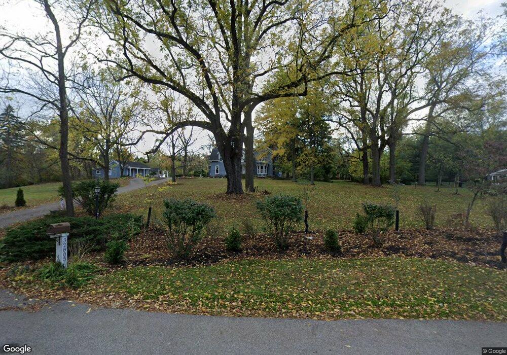
32805 Wing Lake Rd Unit Bldg-Unit Franklin, MI 48025
Estimated Value: $793,044 - $1,157,000
3
Beds
3
Baths
3,118
Sq Ft
$303/Sq Ft
Est. Value
About This Home
This home is located at 32805 Wing Lake Rd Unit Bldg-Unit, Franklin, MI 48025 and is currently estimated at $946,261, approximately $303 per square foot. 32805 Wing Lake Rd Unit Bldg-Unit is a home located in Oakland County with nearby schools including Wylie E. Groves High School, West Maple Elementary School, and Berkshire Middle School.
Ownership History
Date
Name
Owned For
Owner Type
Purchase Details
Closed on
Feb 2, 2017
Sold by
Maxin Mark F and Koss Marcus E
Bought by
Maxin Mark F and Koss Marcus E
Current Estimated Value
Purchase Details
Closed on
Sep 29, 2006
Sold by
Foster Elizabeth T and Ross Sheila
Bought by
Maxin Mark F and Koss Marc
Home Financials for this Owner
Home Financials are based on the most recent Mortgage that was taken out on this home.
Original Mortgage
$417,000
Outstanding Balance
$249,244
Interest Rate
6.49%
Mortgage Type
Purchase Money Mortgage
Estimated Equity
$697,017
Create a Home Valuation Report for This Property
The Home Valuation Report is an in-depth analysis detailing your home's value as well as a comparison with similar homes in the area
Home Values in the Area
Average Home Value in this Area
Purchase History
| Date | Buyer | Sale Price | Title Company |
|---|---|---|---|
| Maxin Mark F | -- | None Available | |
| Maxin Mark F | $600,000 | Multiple |
Source: Public Records
Mortgage History
| Date | Status | Borrower | Loan Amount |
|---|---|---|---|
| Open | Maxin Mark F | $417,000 |
Source: Public Records
Tax History Compared to Growth
Tax History
| Year | Tax Paid | Tax Assessment Tax Assessment Total Assessment is a certain percentage of the fair market value that is determined by local assessors to be the total taxable value of land and additions on the property. | Land | Improvement |
|---|---|---|---|---|
| 2024 | $5,734 | $339,210 | $0 | $0 |
| 2023 | $5,436 | $345,800 | $0 | $0 |
| 2022 | $5,883 | $311,240 | $0 | $0 |
| 2021 | $5,859 | $259,600 | $0 | $0 |
| 2020 | $4,999 | $240,530 | $0 | $0 |
| 2019 | $4,502 | $223,050 | $0 | $0 |
| 2018 | $5,835 | $206,230 | $0 | $0 |
| 2017 | $5,913 | $206,230 | $0 | $0 |
| 2016 | $5,459 | $201,800 | $0 | $0 |
| 2015 | -- | $191,320 | $0 | $0 |
| 2014 | -- | $172,690 | $0 | $0 |
| 2011 | -- | $156,330 | $0 | $0 |
Source: Public Records
Map
Nearby Homes
- 32890 Whatley Rd
- 25635 River Dr
- 25690 W 14 Mile Rd
- 4428 Old Trinity Ct
- 7100 Wing Lake Rd
- 7200 Telegraph Rd
- 7005 Cathedral Dr
- 32696 Ravine Dr
- 7310 Sandy Creek Ln
- 25325 Devon Ln
- 6952 Sandalwood Dr
- 6940 Wing Lake Rd
- 7357 W Greenwich Dr
- 25265 Canterbury Rd
- 4647 Private Lake Dr
- 26075 Woodlore Rd
- 23301 W 14 Mile Rd
- 4017 Hidden Woods Dr
- 31050 Briarcliff Rd
- 26377 Willowgreen Dr
- 32805 Wing Lake Rd
- 32725 Wing Lake Rd
- 32800 Romsey Rd
- 32820 Wing Lake Rd Unit Bldg-Unit
- 32820 Wing Lake Rd
- 32750 Romsey Rd
- 32850 Romsey Rd
- 32870 Wing Lake Rd
- 32921 Wing Lake Rd
- 32605 Wing Lake Rd
- 32700 Romsey Rd
- 32950 Romsey Rd
- 32580 Romsey Rd
- 32920 Wing Lake Rd
- 32577 Wing Lake Rd
- 32550 Wing Lake Rd
- 32877 Romsey Rd
- 32975 Romsey Rd
- 32871 Chatham Ln
- 32899 Chatham Ln