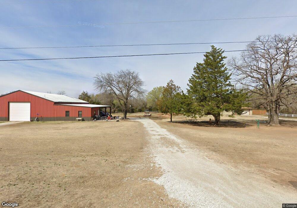
32806 Clearpond Rd Shawnee, OK 74801
Estimated Value: $327,000 - $343,000
3
Beds
2
Baths
1,692
Sq Ft
$197/Sq Ft
Est. Value
About This Home
This home is located at 32806 Clearpond Rd, Shawnee, OK 74801 and is currently estimated at $332,926, approximately $196 per square foot. 32806 Clearpond Rd is a home located in Pottawatomie County with nearby schools including Bethel Elementary School, Bethel Middle School, and Bethel High School.
Ownership History
Date
Name
Owned For
Owner Type
Purchase Details
Closed on
Aug 5, 2014
Sold by
Federal Home Loan Mortgag
Bought by
Gurney Josh and Gurney Shannon
Current Estimated Value
Purchase Details
Closed on
Dec 2, 2013
Sold by
Day Charles K
Bought by
Federal Home Loan Mortgage Corporation
Purchase Details
Closed on
Aug 14, 2003
Sold by
Weast Cameron and Weast Stephanie
Bought by
Day Charles K
Purchase Details
Closed on
Jun 14, 1999
Sold by
Rigney Donald and Rigney Ellen
Bought by
Weast Cameron and Weast Stephanie
Purchase Details
Closed on
Jan 12, 1995
Sold by
Chatham Gail
Bought by
Rigney Donald
Create a Home Valuation Report for This Property
The Home Valuation Report is an in-depth analysis detailing your home's value as well as a comparison with similar homes in the area
Home Values in the Area
Average Home Value in this Area
Purchase History
| Date | Buyer | Sale Price | Title Company |
|---|---|---|---|
| Gurney Josh | $50,500 | -- | |
| Federal Home Loan Mortgage Corporation | -- | None Available | |
| Day Charles K | $109,000 | -- | |
| Weast Cameron | $92,000 | -- | |
| Rigney Donald | $81,500 | -- |
Source: Public Records
Tax History
| Year | Tax Paid | Tax Assessment Tax Assessment Total Assessment is a certain percentage of the fair market value that is determined by local assessors to be the total taxable value of land and additions on the property. | Land | Improvement |
|---|---|---|---|---|
| 2025 | $2,611 | $25,999 | $4,238 | $21,761 |
| 2024 | $2,527 | $24,761 | $4,036 | $20,725 |
| 2023 | $2,527 | $23,582 | $3,150 | $20,432 |
| 2022 | $2,475 | $23,582 | $3,150 | $20,432 |
| 2021 | $2,571 | $23,582 | $3,150 | $20,432 |
| 2020 | $2,544 | $23,497 | $3,095 | $20,402 |
| 2019 | $1,943 | $17,928 | $2,948 | $14,980 |
| 2018 | $1,827 | $17,074 | $2,775 | $14,299 |
| 2017 | $1,569 | $16,261 | $2,586 | $13,675 |
| 2016 | $1,504 | $15,486 | $2,425 | $13,061 |
| 2015 | $1,436 | $14,749 | $2,633 | $12,116 |
| 2014 | $1,367 | $14,047 | $2,515 | $11,532 |
Source: Public Records
Map
Nearby Homes
- 31609 Clearpond Rd
- 0 Patterson Rd
- 33600 Post Office Neck Rd
- 31706 Hardesty Rd
- 34853 Wildcat Way
- 34807 Belcher Rd
- 16872 Drummond Rd
- 31509 Homer Lane #B Ln
- 31509 Homer Lane Rd
- 0 NE Rd Unit 1207810
- 16244 Patterson Rd
- 18301 Drummond Rd
- 0 Tract 4 Waco Rd Unit 1207822
- 118 Savannah Square
- 0 Tract 7 Waco Rd Unit 1207834
- 104 Savanna Place
- 30404 Lake Rd
- 108 Blue Cedar Cir
- 103 Valley Rim Ct
- 32917 New Hope Rd
- 32908 Clearpond Rd
- 16504 Stevens Rd
- 32704 Clearpond Rd
- 16900 Stevens Rd
- 17009 Stevens Rd
- 33103 Clearpond Rd
- 17107 Stevens Rd
- 33105 Clearpond Rd
- 41 Magnino Rd
- 16816 Magnino Rd
- 16804 Magnino Rd
- 17000 Magnino Rd
- 33203 Clearpond Rd
- 16500 Stevens Rd
- 17303 Stevens Rd
- 1 Cowtrail Dr
- 6 Cowtrail Dr
- 33305 Clearpond Rd
- 17230 Magnino Rd
- 8 Cowtrail Dr
Your Personal Tour Guide
Ask me questions while you tour the home.